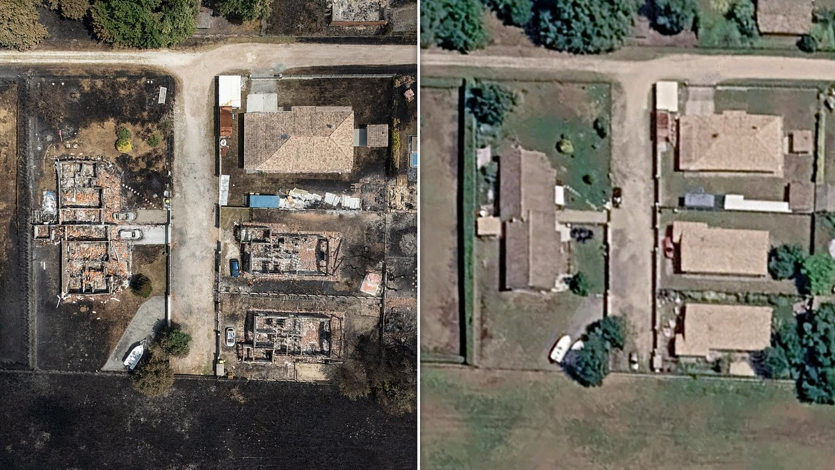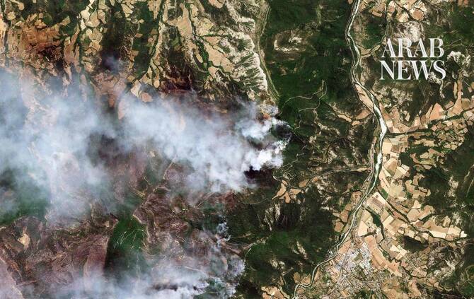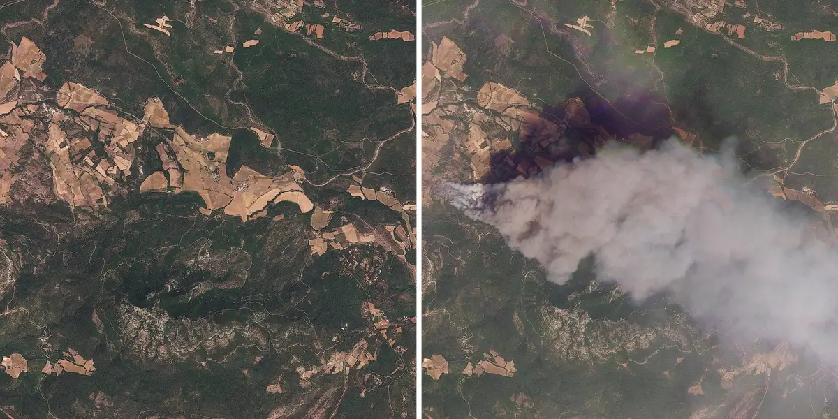
Before-and-after satellite photos show wildfires in Ponteves, France.
2026 Planet Labs PBC/Handout via REUTERS
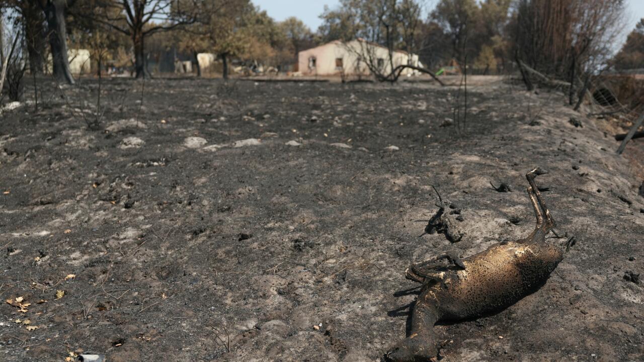
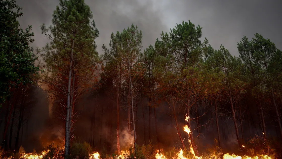
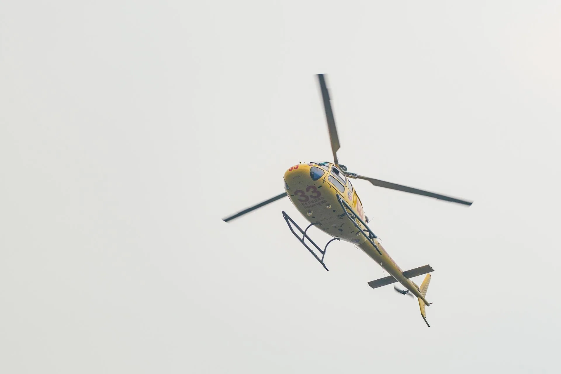
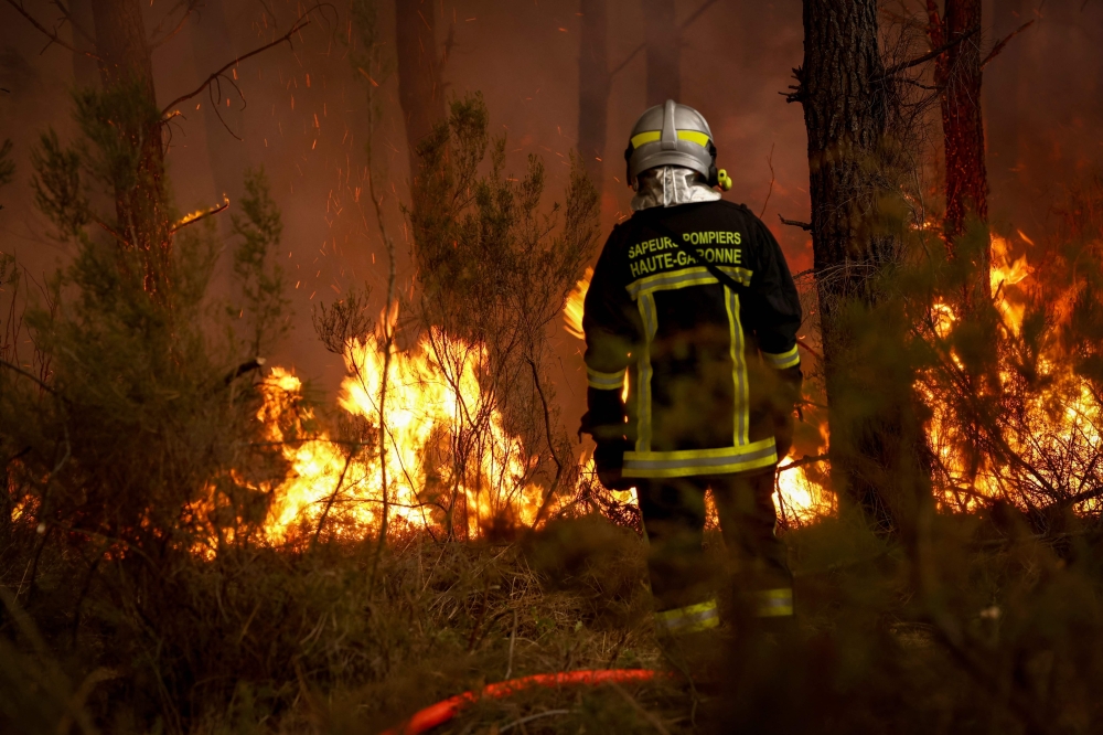
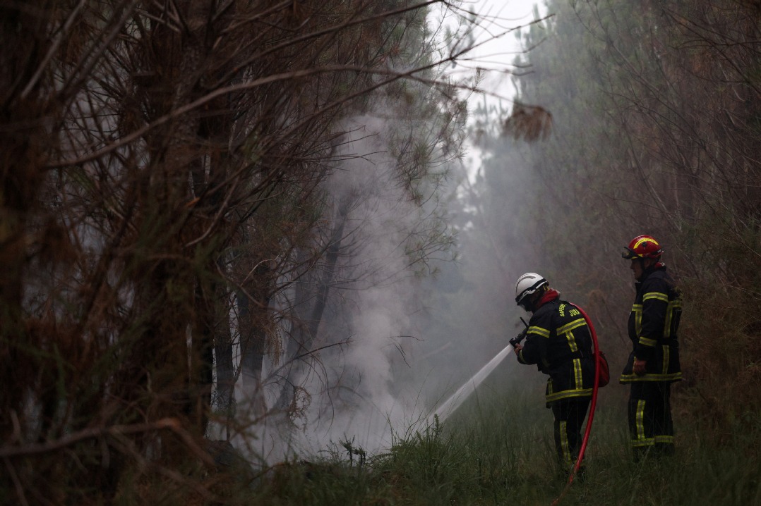
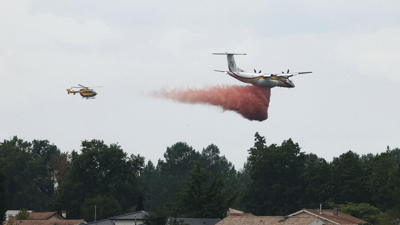
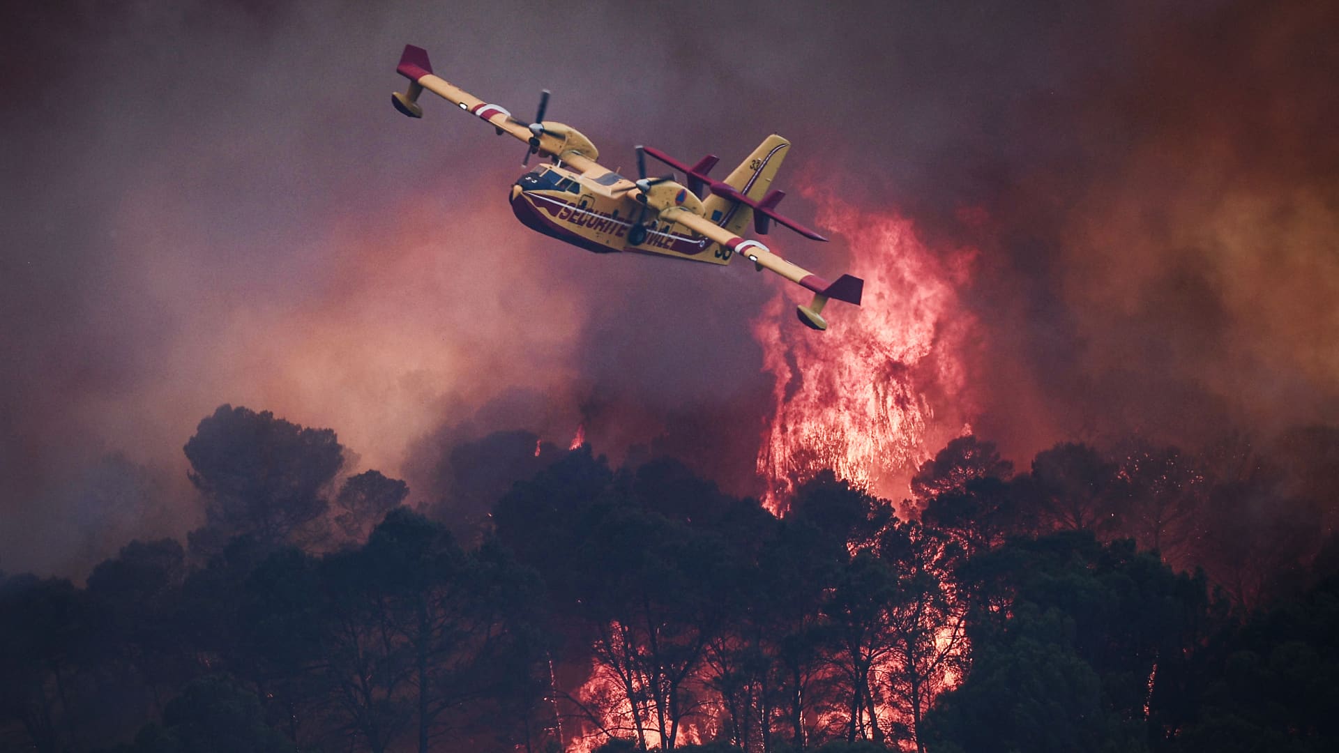
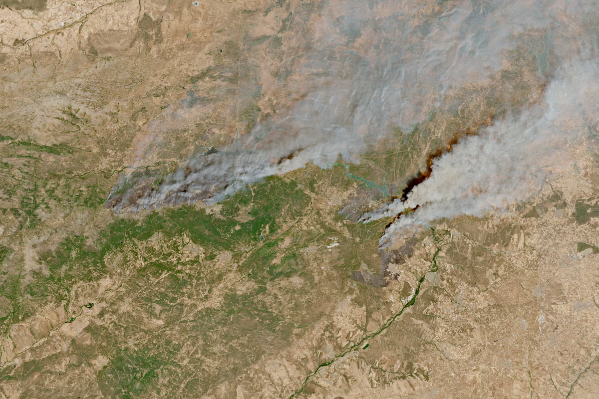
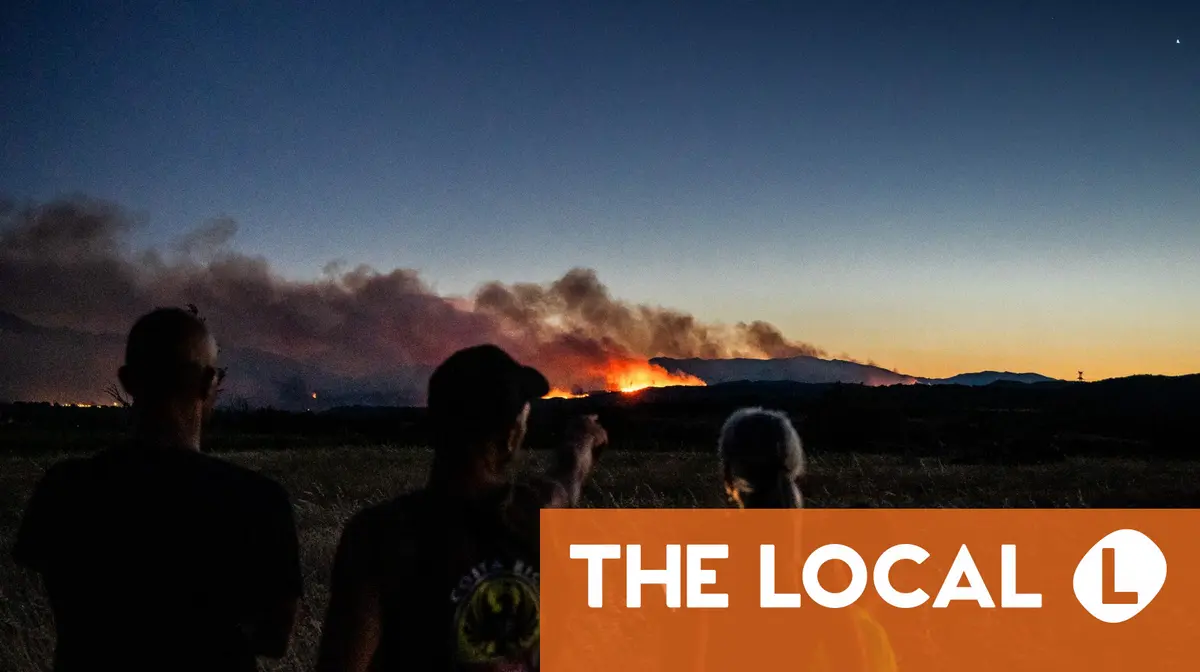
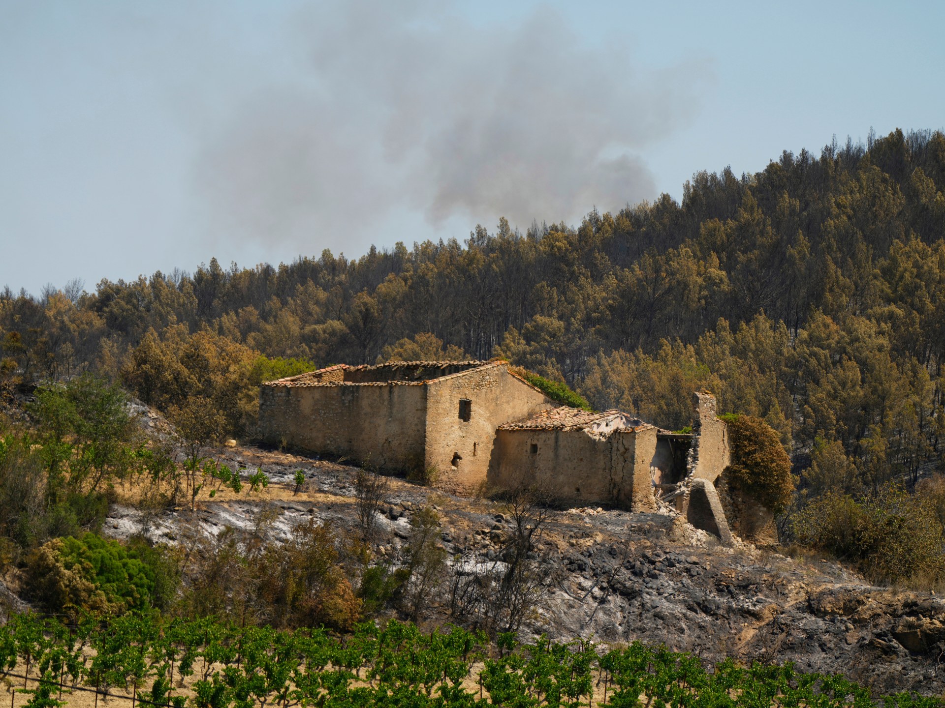
Weeks of record-breaking heat and fast-moving wildfires have scorched large swaths of France.French Interior Minister Laurent Nuñez said in a statement on Friday that 116,085 hectares of land had burned in wildfires across France this year, amounting to the country's worst wildfire season on record.Around 250,000 people have been evacuated in the affected areas of the Gironde and Landes regions of southwest France since the wildfires began in mid-July, France's Interior Ministry said.Record-breaking heat waves across Europe and prolonged drought conditions have contributed to the severity of the damage.Photos show plumes of smoke visible from space, burned remains of neighborhoods, and France's continued firefighting efforts.
A satellite photo of Pontevès, France, taken on July 19, before the wildfires broke out, showed the valleys, vineyards, and landscapes that have made it a tourist destination.
Satellite imagery of Pontevès, France, taken on July 19, before it was affected by wildfires.