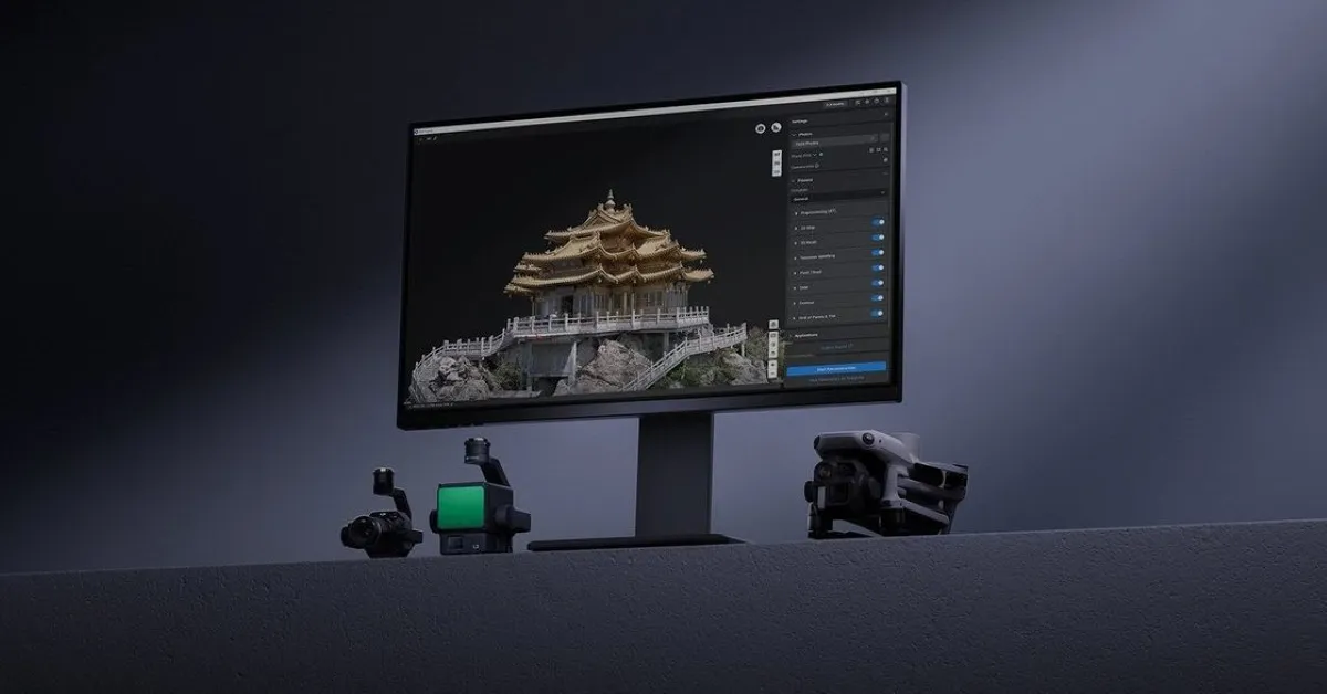
Drone pilots who create maps, 3D models, or inspection reports just got a significant new set of tools. DJI has released one of the biggest updates yet for its Terra mapping software, adding thermal mapping, video-based reconstruction, an AI assistant, and several features designed to make drone data easier to process and analyze.
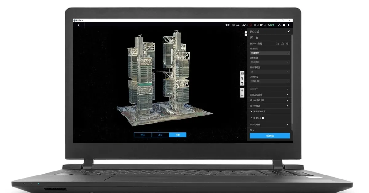
If you’ve never used DJI Terra before, think of it as the software that transforms drone imagery into useful digital assets. Instead of simply looking at photos captured during a flight, users can create orthomosaic maps, 3D models, point clouds, terrain maps, and inspection datasets for everything from construction sites and highways to power lines and emergency response operations.
This latest release focuses on making those workflows faster, more flexible, and easier to troubleshoot.
Thermal mapping gets a major boost
Perhaps the biggest addition is support for thermal infrared reconstruction. Until now, thermal imagery was primarily useful for identifying hot spots or temperature differences in individual photos. With DJI Terra 5.3.0, users can now create 2D thermal maps that combine visible-light imagery with thermal data captured simultaneously during a flight.