DJI is continuing its rapid push into enterprise drone software with another update to DJI Terra, and while version 5.2.5 may look modest at first glance, it actually addresses several workflow frustrations that professional drone operators deal with every day.
The latest release follows a broader trend we’ve been seeing from DJI in recent months: less focus on flashy new features and more emphasis on speed, automation, and reducing manual office work for mapping teams. DJI Terra’s newer updates have increasingly centered around smarter LiDAR processing, tighter hardware-software integration, and faster reconstruction performance.
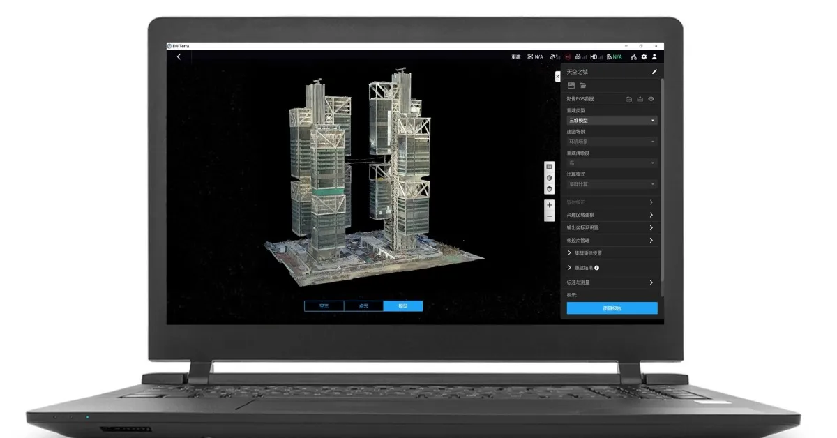
For those unfamiliar, DJI Terra is the company’s enterprise mapping and reconstruction platform used to process drone data into 2D maps, 3D models, and LiDAR point clouds. The software is widely used across industries like construction, surveying, mining, public safety, utilities, and infrastructure inspection.
The biggest addition in DJI Terra 5.2.5 is support for automatically pulling original base station data during Cloud PPK processing in LiDAR reconstruction tasks. That sounds highly technical, but for drone survey teams, it removes one of the more tedious parts of the workflow.