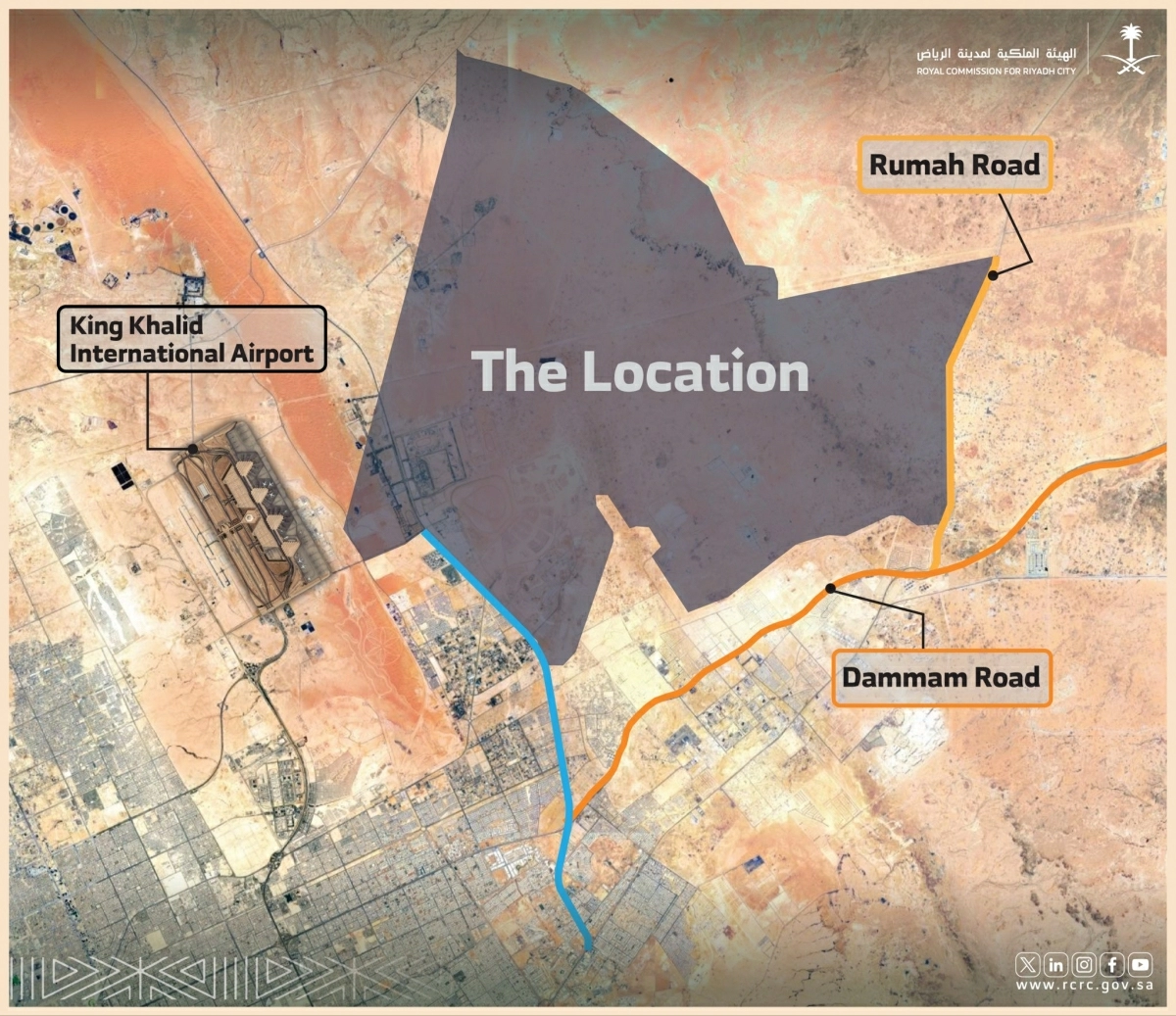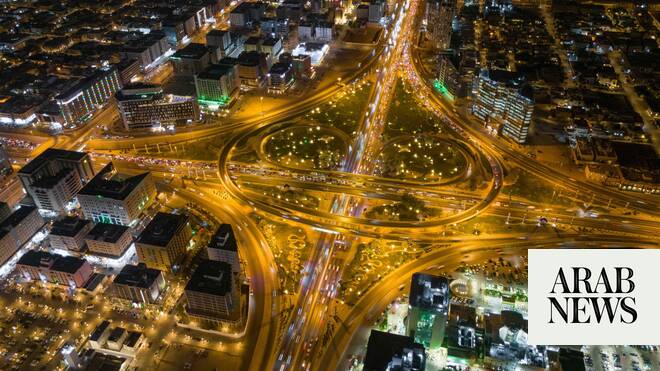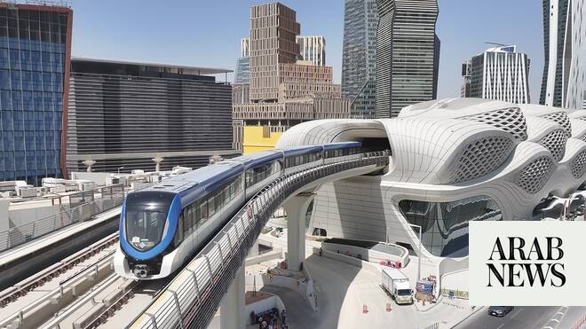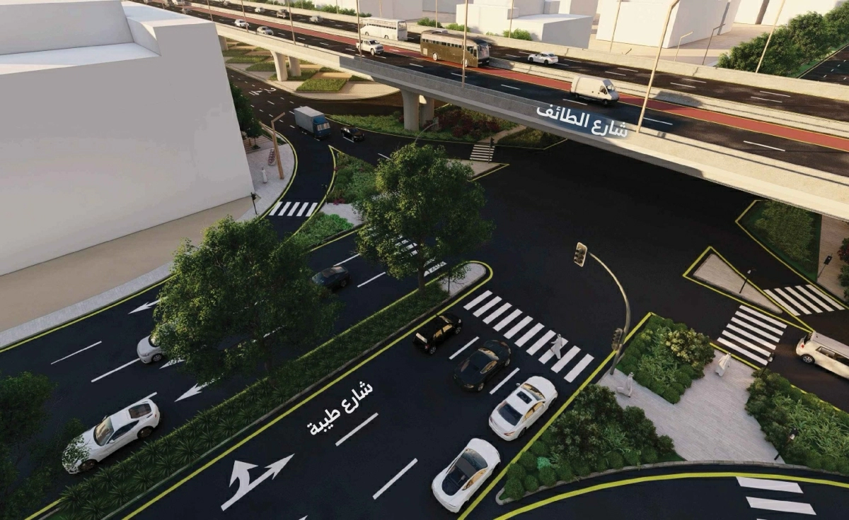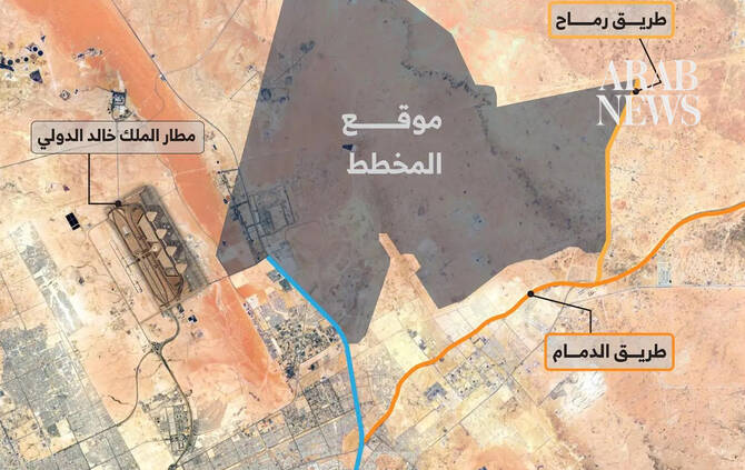
RIYADH: The Royal Commission for Riyadh City has completed the master plan for Northeast Riyadh, covering about 456 sq. km. The strategically located area connects to King Khalid International Airport, Al-Sulai Valley, Dammam Road and Al-Janadriyah Road.
The master plan sets out a comprehensive vision for land use based on key planning principles. These include establishing a long-term urban model for phased expansion and creating integrated communities that combine housing with daily essential services.
The plan also seeks to maintain a balanced distribution of residential, economic, recreational and natural areas, ensuring sustainable growth while enhancing quality of life.
The master plan forms part of Riyadh’s long-term expansion framework as the capital continues its rapid urban, population and economic growth, the Saudi Press Agency reported on Monday.
It guides one of the city’s main future growth corridors to meet present and future needs, with a focus on enhancing quality of life, expanding green spaces and preserving natural valleys within a balanced, interconnected urban structure.