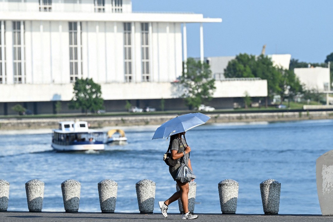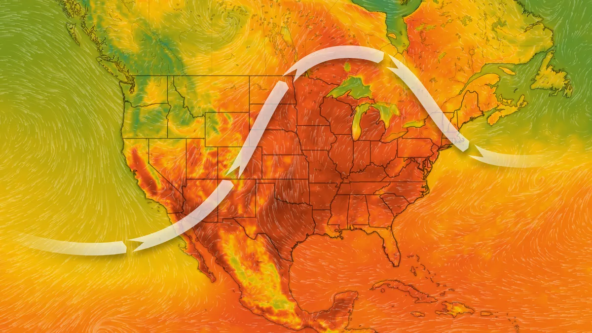
A dangerous heat wave continues to grip large parts of the United States, with heat advisories and extreme heat warnings in effect across several states on Monday. The National Weather Service (NWS) has warned that heat index values could reach between 105°F and 115°F in many areas, increasing the risk of heat-related illnesses. North Texas under heat advisory Parts of North Texas remain under a heat advisory until 8 p.m. Monday, with heat index values expected to reach 107°F. Forecasters expect temperatures to climb to around 102°F, while overnight lows will remain in the low 80s. The NWS has advised residents to stay hydrated, avoid prolonged outdoor activities during the hottest part of the day, and take frequent breaks if working outside. The hot weather is expected to continue throughout the week, with highs consistently around 103°F and afternoon heat index values nearing 110°F. Chicago area faces extreme heat and severe weather risk The Chicago metropolitan area is also experiencing dangerous heat conditions. Extreme Heat Warnings remain in effect for DeKalb, Grundy, La Salle and Livingston counties until 9 p.m. Monday, while Heat Advisories cover Boone, Cook, DuPage, Kane, Kendall, Lake, McHenry and Will counties in Illinois, along with Lake, Newton, Jasper and Benton counties in Indiana. Western parts of the Chicago area could experience heat index values exceeding 110°F, while much of the region is expected to see "feels-like" temperatures above 100°F. Adding to the concern, the region is under a Level 3 risk of severe thunderstorms. Although forecast models differ on whether storms will develop, meteorologists say high humidity could trigger rapid thunderstorm formation later in the day. Cooling centers open for residents Authorities across the Chicago area have opened several cooling locations to help residents cope with the extreme heat. These include: Community cooling centers Chicago Park District facilities Public libraries Police stations City senior centers Residents can also call 3-1-1 to request a well-being check for someone who may be vulnerable to the heat. Dangerous heat expected across central and southern US The Weather Prediction Center said a broad high-pressure system will continue to produce widespread dangerous heat across the central and southern Plains, Mississippi Valley and Southeast. Afternoon temperatures are forecast to reach the upper 90s and low 100s, while parts of the Desert Southwest could see highs between 115°F and 120°F. The combination of high temperatures and humidity is expected to push heat index values to 105°F-115°F, with many regions facing Major to Extreme HeatRisk levels through Monday. Some northern areas may see limited relief on Tuesday as thunderstorms and a cold front move into the Midwest. Other weather threats Besides the dangerous heat, forecasters are also monitoring: Severe thunderstorms across parts of the Upper Midwest, Great Lakes and Ohio Valley. Flash flooding risks in portions of the Great Lakes, Northeast and Mid-Atlantic. Heavy monsoon thunderstorms across the Four Corners region, Rockies and central Plains, with localized flash flooding possible in burn scars, urban areas and steep terrain.
US Heat Advisory Today (July 27): Heat warnings issued across multiple states as temperatures soar above 100°F
A dangerous heat wave grips large parts of the United States with high heat index values. North Texas and the Chicago metropolitan area face extreme heat warnings and advisories. Authorities have opened cooling centers to help residents cope with the intense heat. Dangerous heat is expected across the central and southern Plains and Southeast. Other weather threats include severe thunderstorms and potential flash flooding.
494 words~2 min read