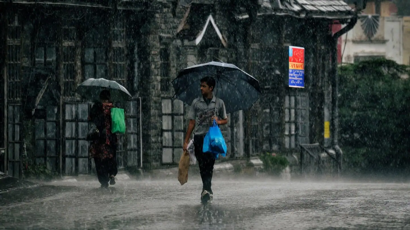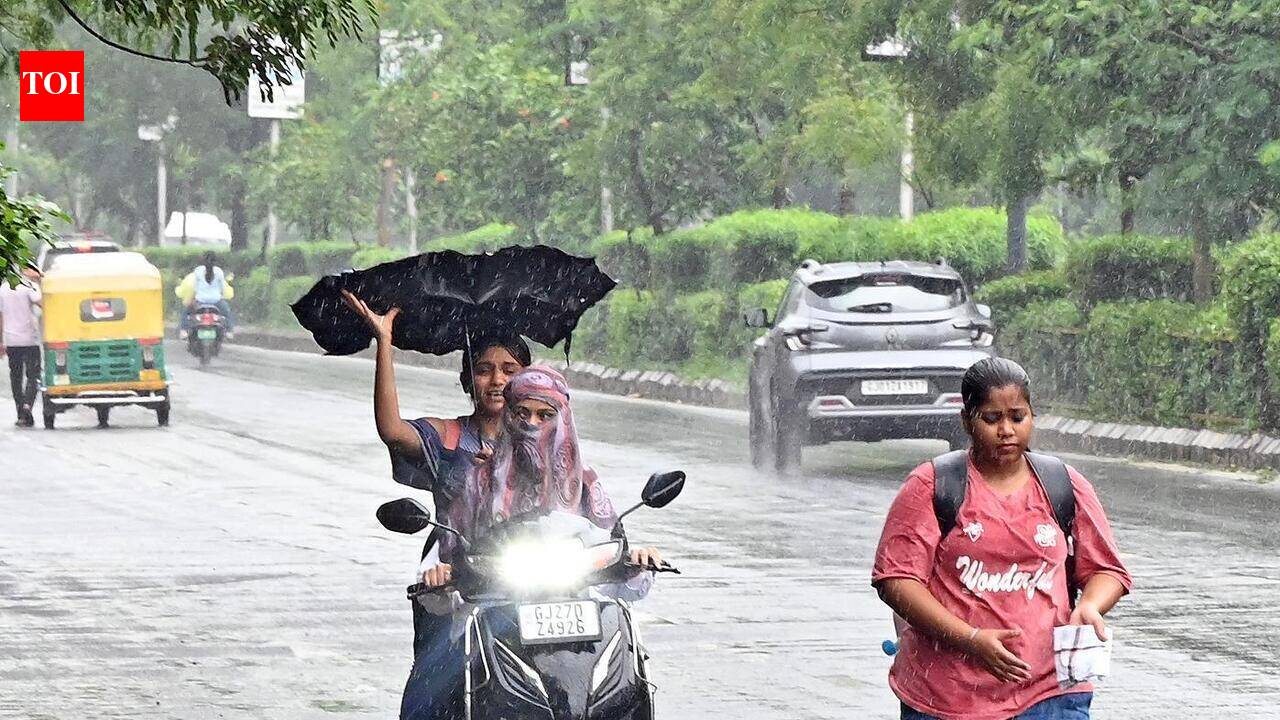
The swathe of extremely heavy rain that battered south Gujarat through Wednesday and Thursday shifted north overnight, soaking east Gujarat, with Ahmedabad and Vadodara bearing the brunt.Far from overAhmedabad was inundated by 23 cm of rain until 5.30 am on Friday, while Vadodara airport recorded 15 cm during the same period as the south-west monsoon gathered fresh momentum over western India. India Meteorological Department (IMD) warned that the spell is far from over. It forecast heavy to very heavy rainfall, with isolated extremely heavy falls, over Gujarat, East Rajasthan and Madhya Maharashtra on Friday.Low-pressure area The renewed burst of monsoon activity follows the merger of two cyclonic circulations into a low-pressure area over land, centred over south-east Rajasthan and adjoining north-west Madhya Pradesh. Adding further energy to the system is a western disturbance in the form of an upper-air cyclonic circulation over Jammu. An associated trough extends eastward from Sriganganagar in Rajasthan to Kurukshetra in Haryana, creating favourable atmospheric conditions for sustained rainfall.Trough activeThe monsoon trough also remains active, stretching from Deesa in Rajasthan through the low-pressure area over south-east Rajasthan and adjoining Madhya Pradesh, Satna, Ranchi and Digha before extending into the north-east Bay of Bengal. An east-west shear zone, another driver of monsoon turbulence, runs roughly from Okha and Rajkot in Gujarat through Indore to Jamshedpur.Cyclonic circulationsUpper-air cyclonic circulations over the north-west Bay, northern West Bengal and north-east Assam have further reinforced the monsoon, ensuring that rain-bearing systems remain active over North-West and adjoining Central India for at least another day. Elsewhere, Nashik in Madhya Maharashtra received 11 cm of rain during the 12 hours ending Friday morning, while Batote in Doda district of Jammu and Kashmir recorded 7 cm, according to the IMD.Rain Outlook The IMD expects fairly widespread to widespread rainfall across large parts of northwest, central and western India over the coming week.In North-West India, Himachal Pradesh, Jammu-Kashmir-Ladakh and Uttarakhand are likely to receive widespread rainfall over the next seven days, while East and West Rajasthan are expected to remain wet for the next three days. Rain activity is forecast to spread to East Uttar Pradesh, Haryana, Chandigarh, Delhi and Punjab from Monday, and to West Uttar Pradesh from Tuesday.Across Central India, widespread rainfall is expected over West Madhya Pradesh for the next three days, East Madhya Pradesh and Chhattisgarh for seven days, and Vidarbha for the next two days before reviving again from Tuesday. Heavy rainfall is likely at isolated places over both East and West Madhya Pradesh during the next two days.In West India, widespread rainfall is forecast over Konkan and Goa for the next seven days, Madhya Maharashtra for two days, Marathwada on Friday, East Gujarat for five days, and Saurashtra and Kutch for the next three days.Heavy to very heavy rainfall is likely over Konkan and Goa from Saturday, Madhya Maharashtra over the next four days, East Gujarat on Friday, and Saurashtra and Kutch from Saturday. Isolated very heavy rainfall is likely over Konkan and Goa on Friday, East Gujarat for the next two days, and Saurashtra and Kutch on Friday.Published on July 24, 2026
Monsoon fury in Gujarat marches north, drenches Ahmedabad
Gujarat faces intense monsoon rains, with Ahmedabad and Vadodara experiencing heavy downpours, as conditions remain active across western India.
514 words~2 min read