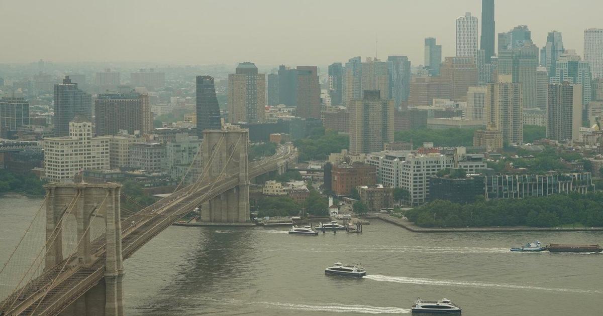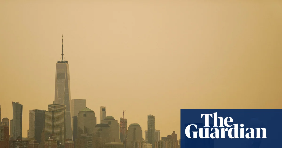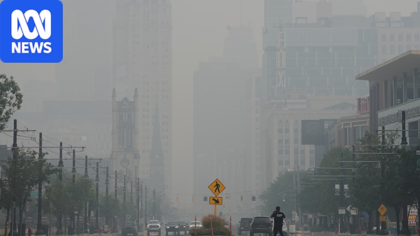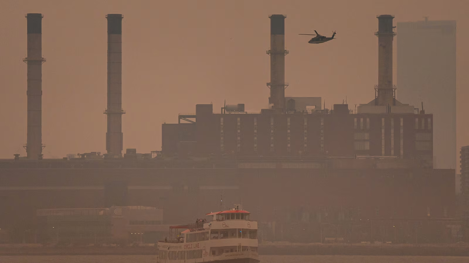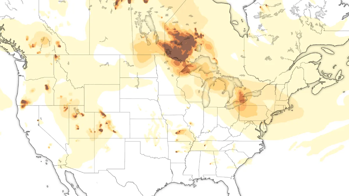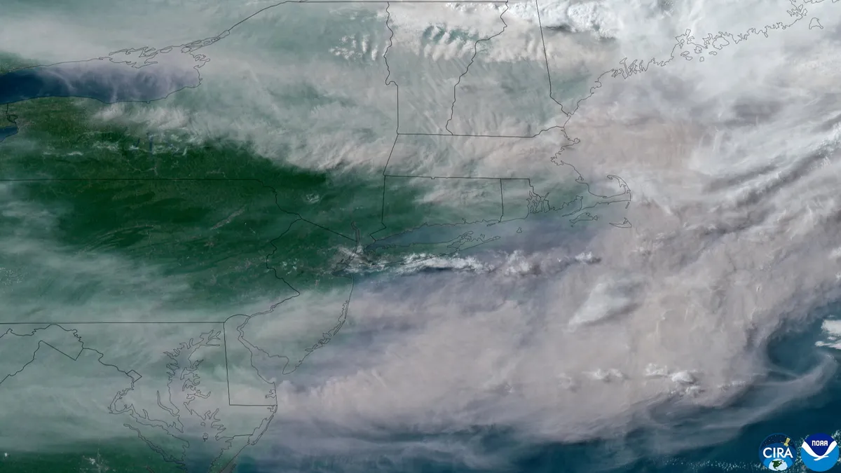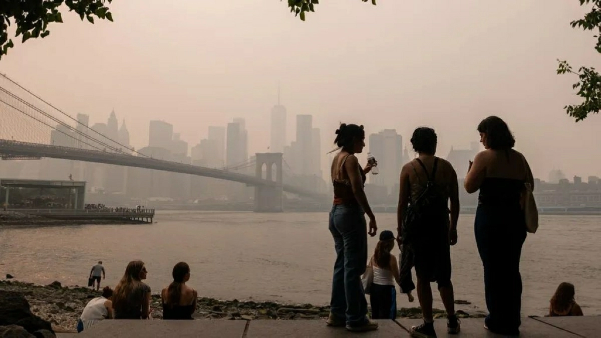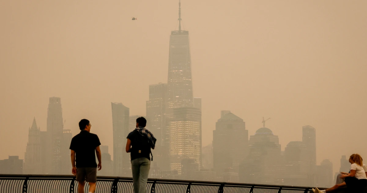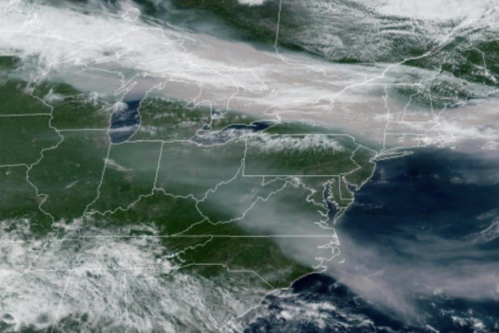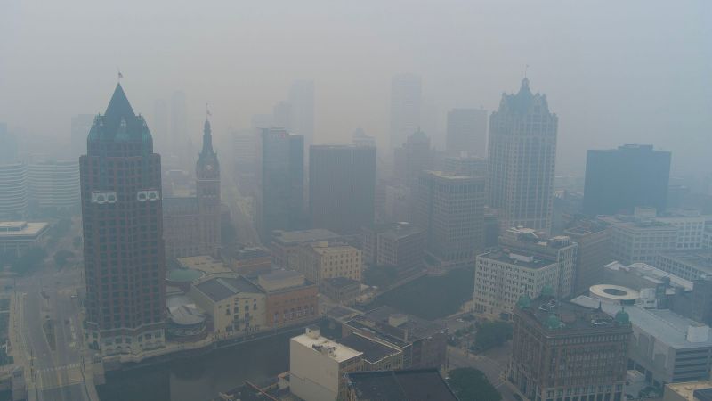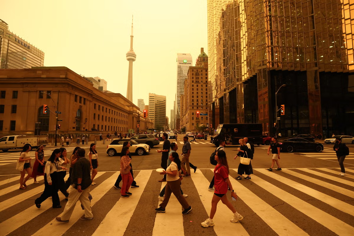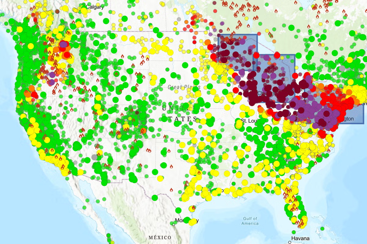
Jump to contentThank you for registeringPlease refresh the page or navigate to another page on the site to be automatically logged inPlease refresh your browser to be logged inAllNewsSportCultureLifestyleA Fire and Smoke Map provided by the US government (fire.airnow.gov)Heavy wildfire smoke, originating from Canada and northern Minnesota, has blanketed areas of the United States this week, from the Great Lakes to parts of the East Coast.Officials issued urgent warnings, advising residents to stay indoors or wear masks outside, as air quality deteriorated to unhealthy and hazardous levels for all individuals. A persistent high-pressure system was identified as the cause for trapping the dense smoke close to the ground, leading to extreme pollution concentrations.Detroit experienced some of the worst air quality in the world, with visibility in certain areas reduced to as little as half a mile due to the smoke. The microscopic particles within the smoke pose serious health risks, capable of penetrating deep into the lungs and entering the bloodstream, potentially causing long-term heart and lung conditions.Americans who want to know about the air quality in their area can check fire.airnow.gov, which includes color-coded circles with data from U.S. EPA air-quality monitors and PurpleAir sensors and the associated health risk.Two other resources include maps from FireSmoke Canada and the U.S. Interagency Wildland Fire Air Quality Response Program.In fullCanadian wildfires never caused US skies to turn orange in the past. Here’s what changedMore bulletinsThank you for registeringPlease refresh the page or navigate to another page on the site to be automatically logged inPlease refresh your browser to be logged in
How bad is air quality near you? Map shows wildfire smoke risk for each city
Jump to contentThank you for registeringPlease refresh the page or navigate to another page on the site to be automatically logged inPlease refresh your browser to be logged inAllNewsSportCultureLifestyleA Fire and Smoke Map provided by the US government (fire.airnow.gov)Heavy wildfire smoke, originating from Canada and northern Minnesota, has blanketed areas of the United States this week, from the Great Lakes to parts of the East Coast.Officials issued urgent warnings, advising residents to stay indoors or wear masks outside, as air quality deteriorated to unhealthy and hazardous levels for all individuals. A persistent high-pressure system was identified as the cause for trapping the dense smoke close to the ground, leading to extreme pollution concentrations.Detroit experienced some of the worst air quality in the world, with visibility in certain areas reduced to as little as half a mile due to the smoke. The microscopic particles within the smoke pose serious health risks, capable of penetrating deep into the lungs and entering the bloodstream, potentially causing long-term heart and lung conditions.Americans who want to know about the air quality in their area can check fire.airnow.gov, which includes color-coded circles with data from U.S. EPA air-quality monitors and PurpleAir sensors and the associated health risk.Two other resources include maps from FireSmoke Canada and the U.S. Interagency Wildland Fire Air Quality Response Program.In fullCanadian wildfires never caused US skies to turn orange in the past. Here’s what changedMore bulletinsThank you for registeringPlease refresh the page or navigate to another page on the site to be automatically logged inPlease refresh your browser to be logged in