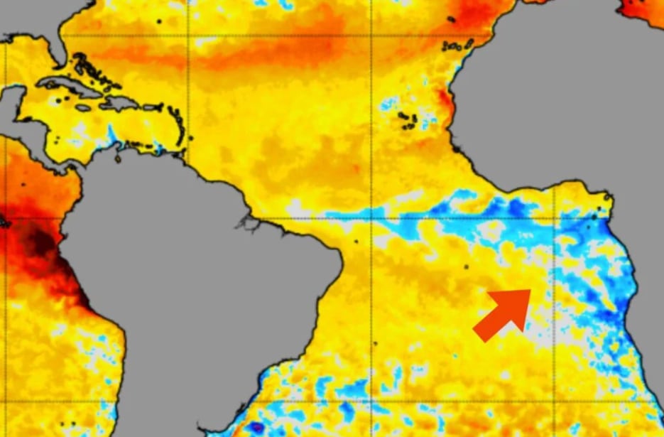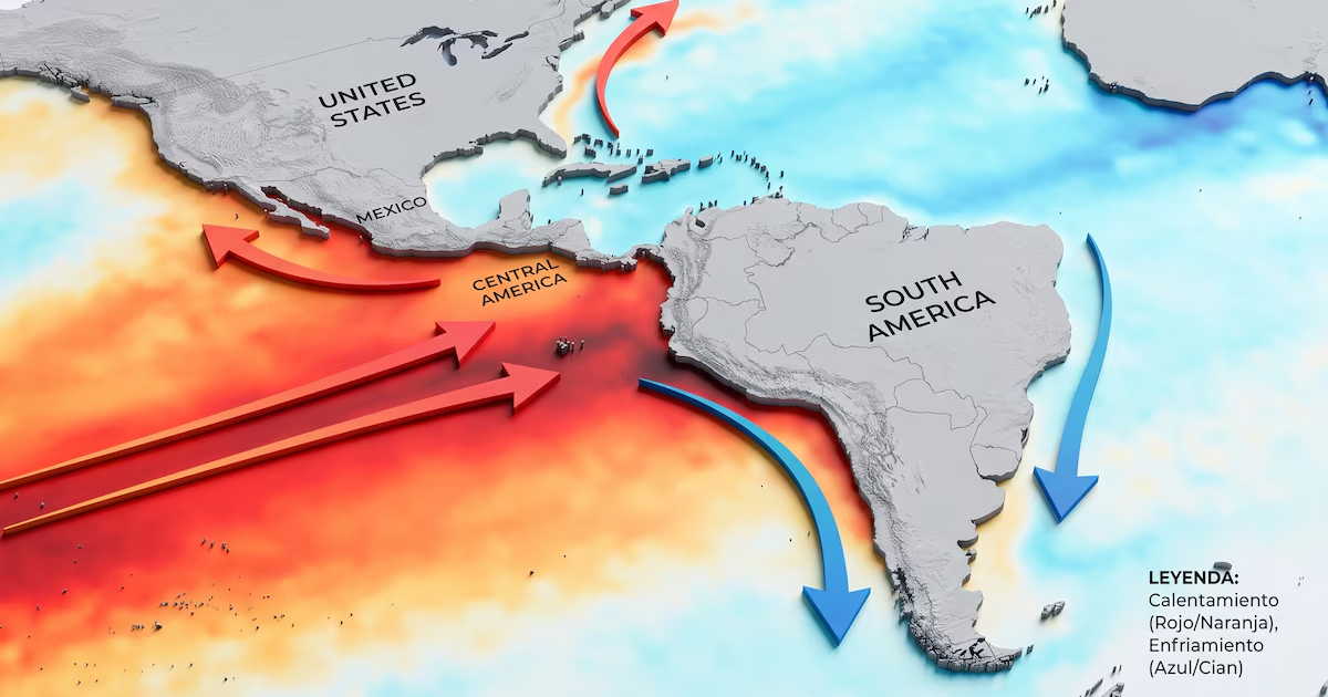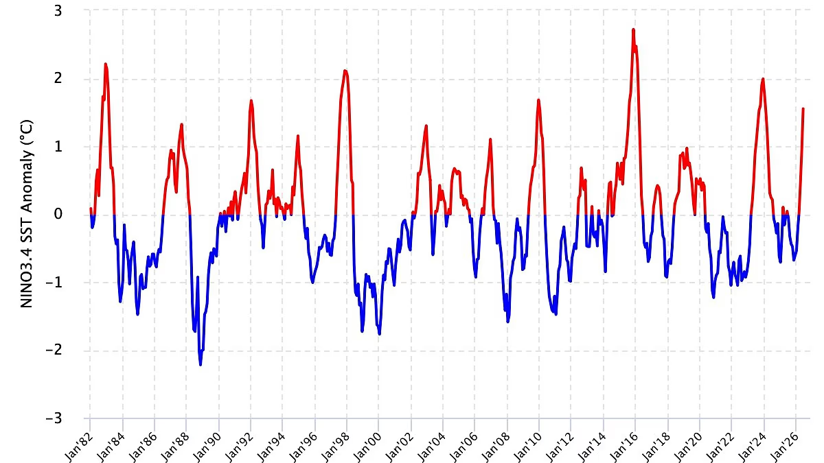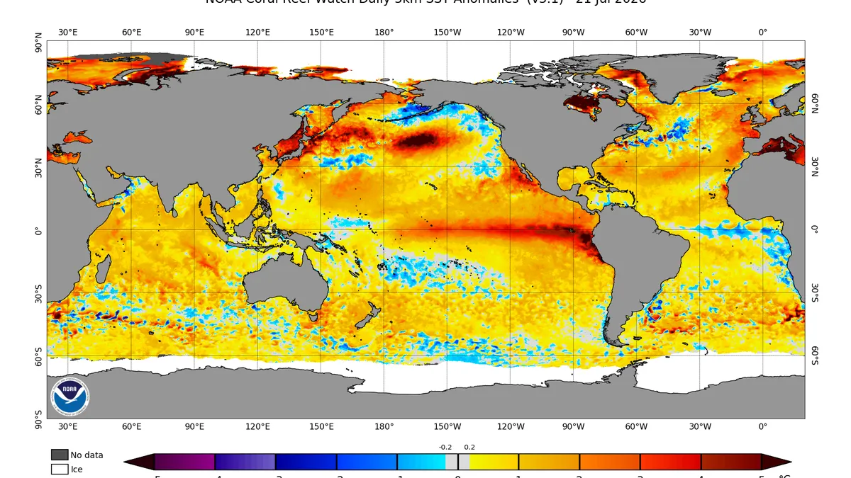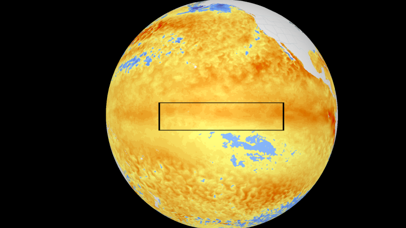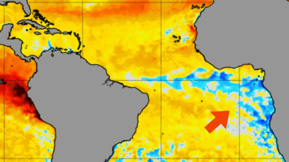
All eyes are on the Pacific Ocean as an exceptionally strong El Niño takes shape, but meanwhile, something unusual is brewing in the Atlantic. According to Severe Weather Europe, a rare Atlantic Niña is emerging in the tropics—not to be confused with La Niña, the cold phase of the El Niño Southern Oscillation (ENSO). Like La Niña, this phenomenon occurs when sea surface temperatures drop below average, but it affects the eastern equatorial Atlantic Ocean instead of the central and eastern equatorial Pacific. If Atlantic sea surface temperatures remain 0.9 degrees Fahrenheit (0.5 degrees Celsius) below average for at least two overlapping seasons, this anomaly will become the sixth Atlantic Niña of the last 40 years. The onset of an Atlantic Niña and the opposing “super” El Niño are clearly visible on the National Oceanic and Atmospheric Administration’s latest sea surface temperature anomaly map, shown below. El Niño appears as a long band of warmer-than-average temperatures stretching outward from the northeastern coast of South America, while the Atlantic Niña is the smaller region of colder-than-average temperatures off the southeastern coast of Africa. A global map of sea surface temperature anomalies shows El Niño as a large, red region off the coast of northeastern South America and the emerging Atlantic Niña as a smaller, blue region off the southeastern coast of Africa. © NOAA Office of Satellite and Product Operations “These two anomalies appear to work on opposite poles (warm vs. cold), but they are actually perfectly aligned in their atmospheric impact,” senior meteorologist and long-range forecaster Andrej Flis writes for Severe Weather Europe. Here’s what that means for weather in the United States.
A Rare Atlantic Niña Is Emerging Amid a Super El Niño. Here's What That Means
This phenomenon has only occurred five times within the last four decades.
646 words~3 min read