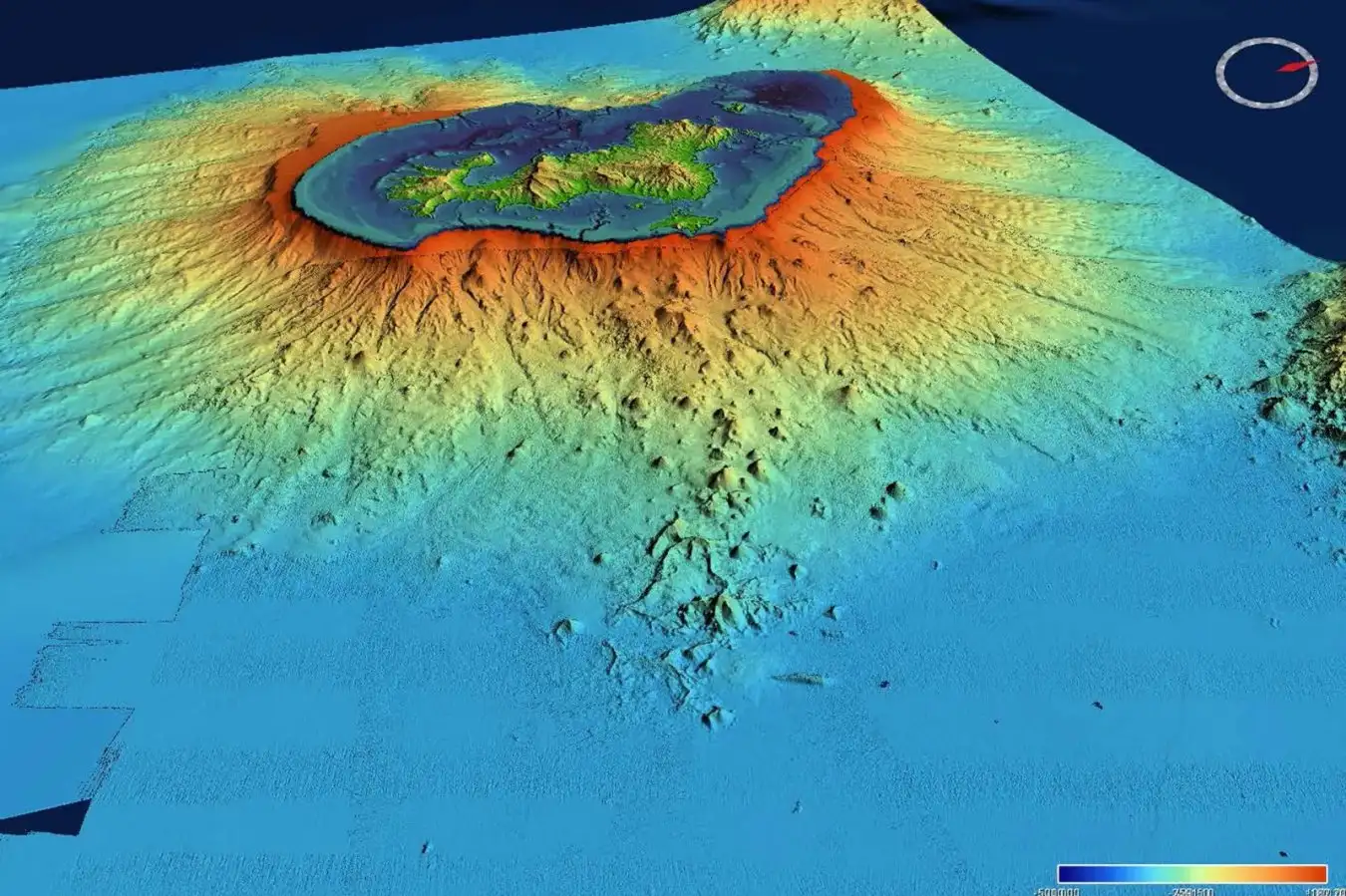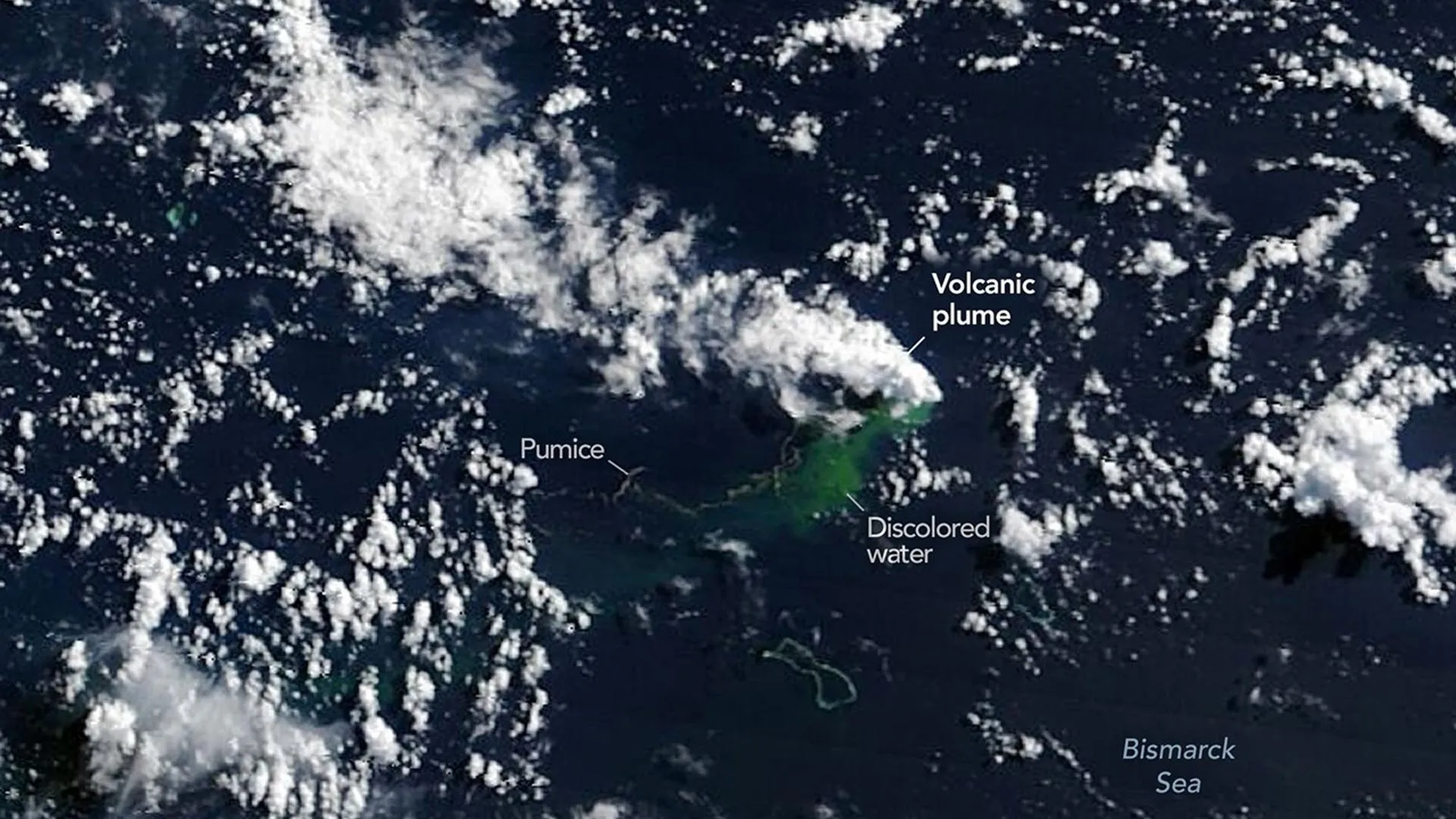
Oceanographers often point out that scientists have mapped the surfaces of the Moon and Mars in greater detail than much of Earth's deep ocean. That contrast is especially striking in the Bismarck Sea north of Papua New Guinea, where the seafloor remains poorly understood despite its remarkable geological complexity. The region contains faults, volcanic structures, rifts, scarps, and active subduction and spreading zones, many located at depths that make detailed sonar mapping extremely difficult.
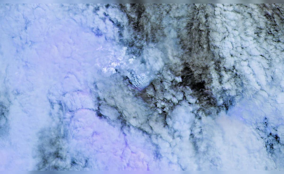
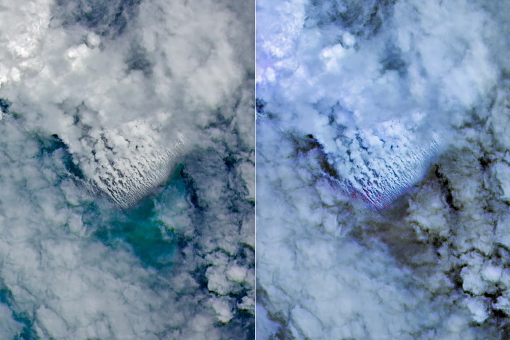
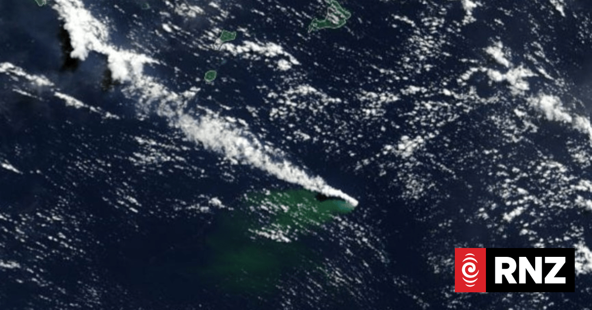
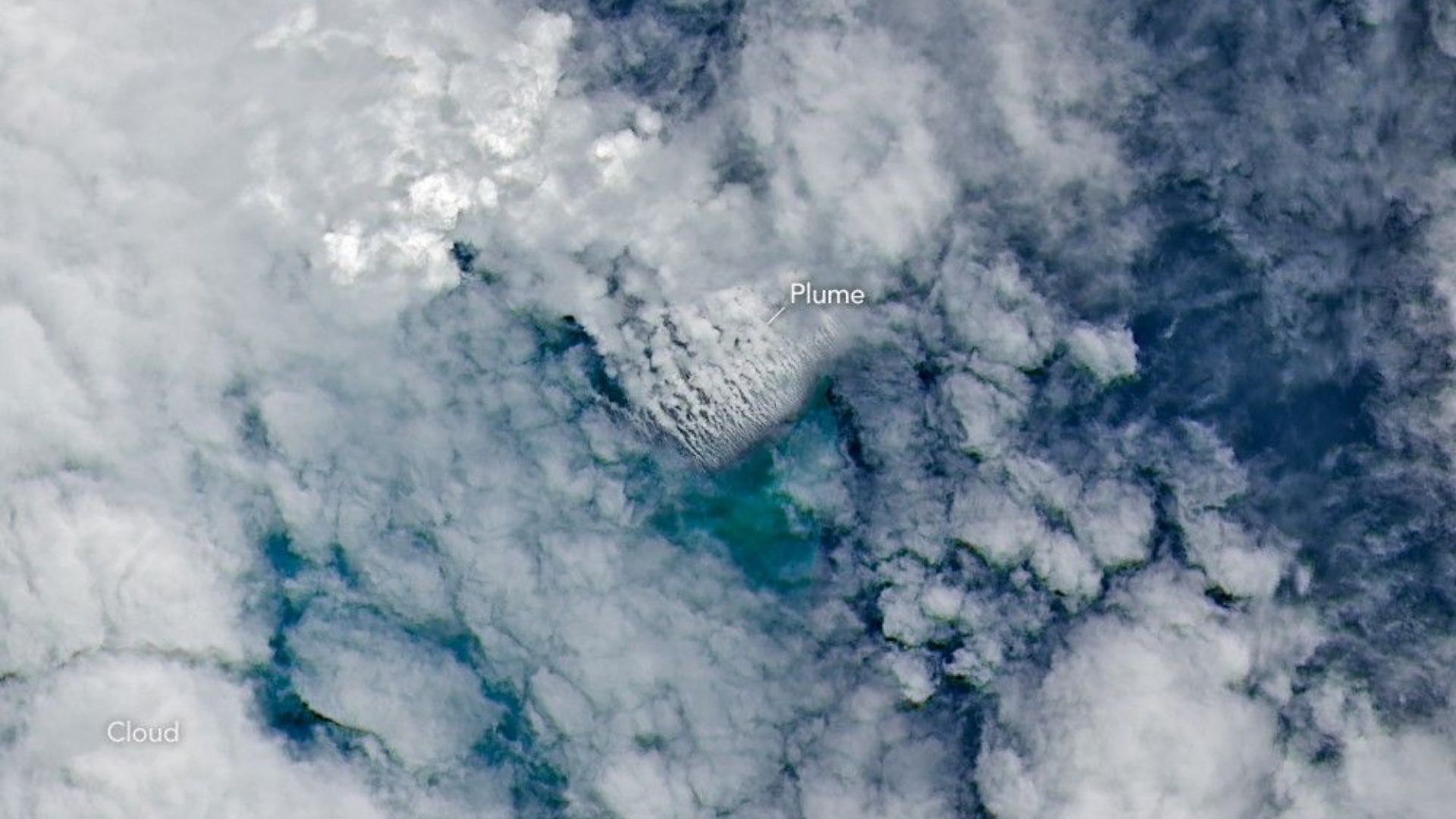
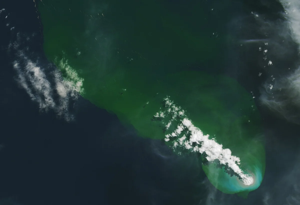
That lack of knowledge became especially apparent on May 8, 2026, when satellites detected signs of an unexpected submarine volcanic eruption in the Central Bismarck Sea. Researchers believe the activity is occurring along Titan Ridge, about 16 kilometers (10 miles) southeast of where another underwater eruption took place in 1972. Even so, scientists still cannot say with certainty which volcanic feature is erupting, how deep the active vent originally was, or when it last erupted.
"The good news is that there are huge opportunities to explore and learn using both government and commercial satellite platforms already in orbit," said Jim Garvin, the chief scientist at NASA's Goddard Space Flight Center.