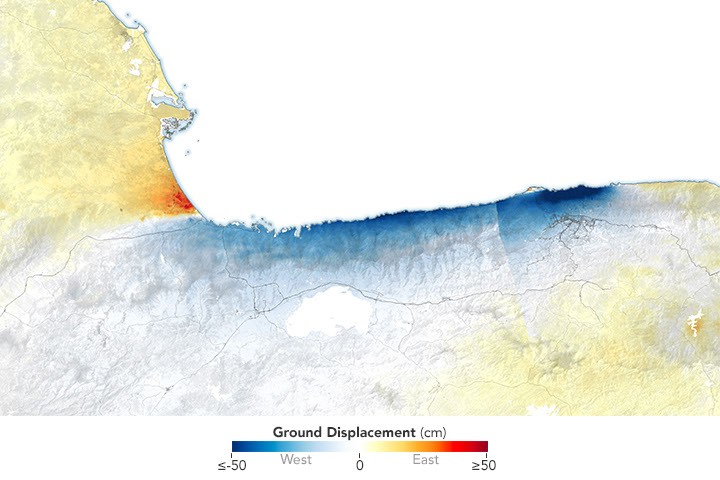
4 min readImage of the Day for July 10, 2026Radar data from the NISAR satellite show that La Guaira and nearby areas experienced significant ground displacement from the June 2026 temblors. NASA Earth ObservatoryJul 10, 2026 Article
View more Images of the Day:
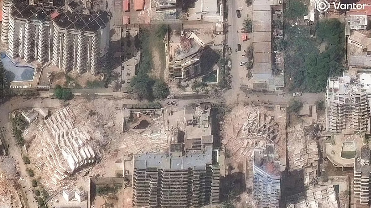
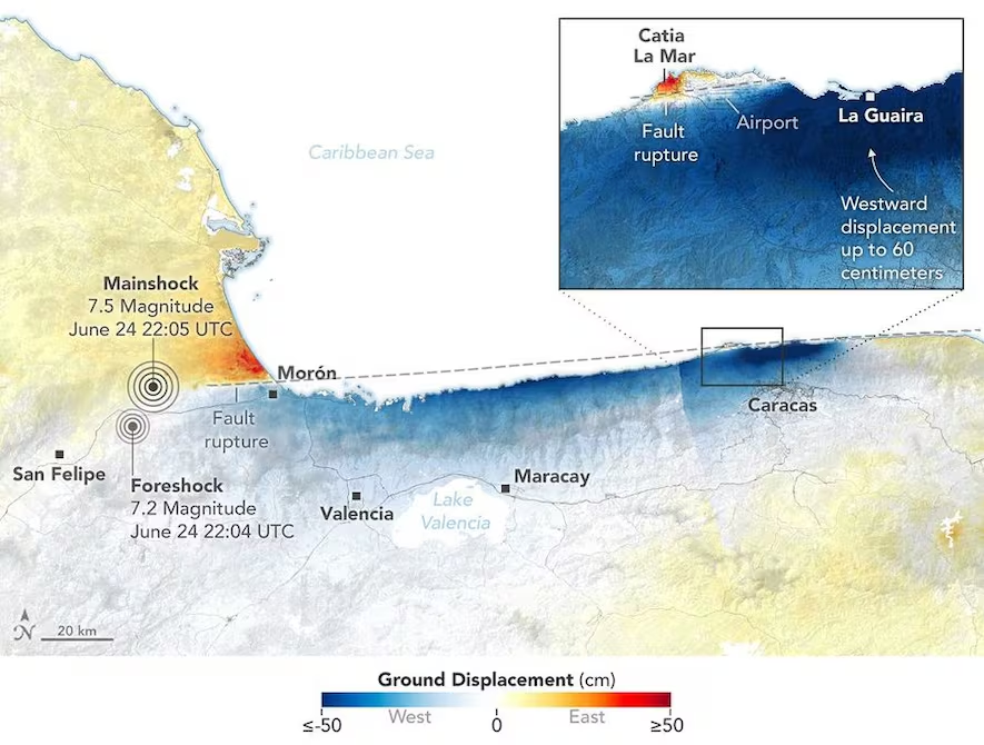
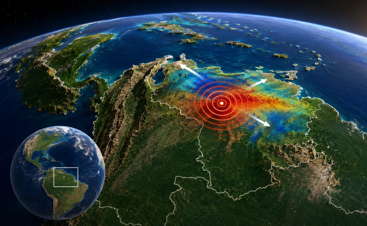
On June 24, 2026, a magnitude 7.2 earthquake struck northern Venezuela, followed under a minute later by a magnitude 7.5 mainshock. Together, the quakes left immense damage and loss of life across the region. In the days that followed, satellite-based maps of ground displacement revealed how the land surface moved, providing insight into the forces behind the severe destruction in locations such as La Guaira and other coastal cities in La Guaira state.
This map was produced using data from the NISAR (NASA-ISRO Synthetic Aperture Radar) satellite and processed by the NISAR science team at NASA’s Jet Propulsion Laboratory (JPL). Scientists used a technique called InSAR, which compares data from repeat passes to detect subtle changes in the distance between the satellite and the ground. Images acquired on June 25 and June 30, after the quakes, were compared with images from June 13 and June 18, before the quakes.
NISAR views Earth at an angle, about 40 degrees from straight down, allowing it to capture a mix of horizontal and vertical displacement. In this map, red areas show where the ground moved east and up; blue areas moved west and down. Because the earthquake occurred on a strike-slip fault, however, most of the displacement shown in this map was horizontal (east and west).