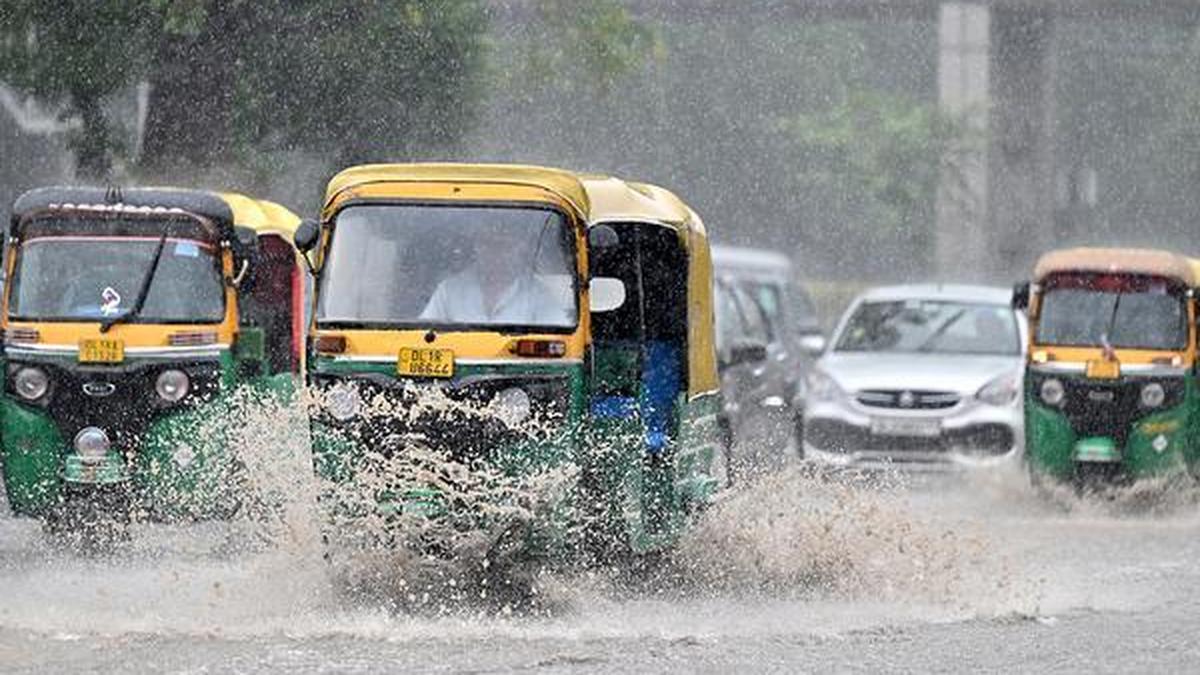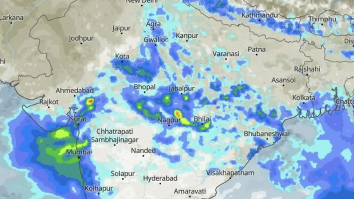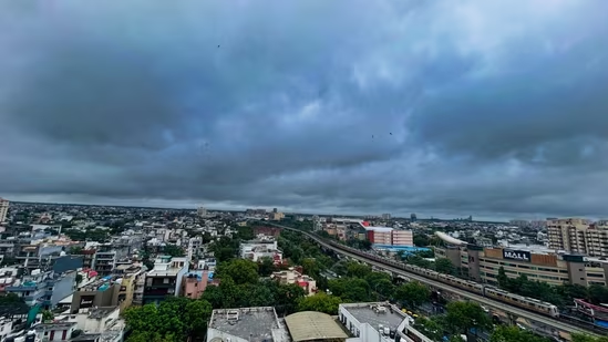
As of Thursday afternoon, boats were out on the streets in Ghaziabad's Vasundhara, high-rises in Noida were cloaked by clouds, and serpentine traffic snarls were common across Gurugram and New Delhi.IMD had issued alerts for heavy rain in parts of Delhi-NCR. (Parveen Kumar/HT Photo)Meteorologists said East Delhi, Noida, Ghaziabad and Faridabad bore the brunt of heavy rain from Wednesday night through the morning, while west and central Delhi and Gurugram saw lighter showers.Ask why, and the same two words come up: low pressure."The monsoon has finally gained strength in Delhi-NCR... due to the influence of an active low-pressure area and the monsoon trough, there is a possibility of intermittent rain continuing until July 10," said private forecaster Skymet Weather in an X post.Low pressure and monsoon trough are terms that appear every year during the rainy season. HT unpacks what they mean, why it’s raining, and why it might stop – and start.Also read: Delhi-NCR rain fury: Car inside ditch, clouds engulf high-rise, severe waterloggingWhat is a low pressure area?A low-pressure area is a patch of the atmosphere where surface air pressure has dropped below its surroundings. When that happens, air the relatively higher pressure area around it rushes in to fill the gap.In the northern hemisphere, that inrushing air spirals in an anti-clockwise direction, converging toward the centre of the low, with nowhere to go but up.That upward motion is where the story lies. Rising air cools as it climbs, cool air holds less moisture than warm air, so the water vapour it carries condenses into cloud droplets — and, given enough of them, leads to rainfall.The India Meteorological Department (IMD) explains this ‘low’ as being “associated with a whirling motion of air, convergence and upward motion of air. In the low, usually clouds and rainfall are present”.A monsoon downpour typically begins with air being forced upward somewhere. A low-pressure area is where that lift is being seen. It can be spread over hundreds of kilometres and last hours to days.When a low intensifies — its winds picking up past 17 knots — the IMD reclassifies it, first as a "well-marked" low and then as a depression, with each step reflecting stronger convergence and, usually, heavier rain.IMD's 9:15am bulletin on Wednesday placed a well-marked low-pressure area over northeast Madhya Pradesh and adjoining southeast Uttar Pradesh, with the seasonal monsoon trough running through it from southwest Rajasthan to Bangladesh. The system has since edged close enough to Delhi-NCR to fuel Thursday’s rainfall.Also read: Work from home advisory in Gurugram after heavy rain gridlocks roads, expresswaysThe monsoon troughThrough the monsoon months, an elongated belt of low pressure — called the monsoon trough — normally stretches from a heat-driven low over Pakistan to the head of the Bay of Bengal, roughly tracking the Gangetic plain.Think of it as the monsoon’s spine: a seam of low pressure stitched across the subcontinent, along which smaller weather systems — from ordinary lows to full monsoon depressions — form and travel westward.IMD describes it as “one of the semi-permanent features of monsoon circulation” and notes that its shape “may be a characteristic of” the east-west run of the Himalayas and the north-south orientation of Meghalaya’s Khasi-Jaintia Hills.The trough is not fixed. Its eastern end can drift five degrees of latitude north or south within a single day, according to the IMD.Where the trough sits decides the areas that get rainfall. Pulled south of its usual position, it drags the belt of heaviest rain over central and northern India, including Delhi-NCR.Pushed north towards the Himalayan foothills, the plains dry out in what forecasters call a ‘break’ in the monsoon, even as the hills and the Brahmaputra basin get drenched instead.“The northward migration of this trough leads to break monsoon conditions over major parts of India and heavy rains along foothills of Himalayas and sometimes floods in Brahmaputra river,” IMD says.Thursday's rain, by Skymet Weather's account, is the trough sitting favourably for Delhi, reinforced by the low-pressure system riding along it. That system — the well-marked low over MP fits the IMD’s description of the systems that ride the trough: “The monsoon lows and depressions are the principal rain bearing systems of the southwest monsoon period over India”.
Rain in Delhi-NCR due to ‘influence of low-pressure area, monsoon trough’: What does that mean?
From convergence to condensation, a 'low' over MP and a shifting monsoon trough are driving rainfall in Delhi-NCR. | India News
700 words~3 min read