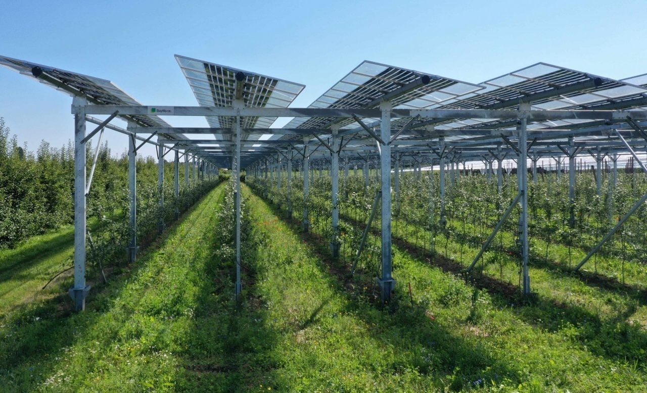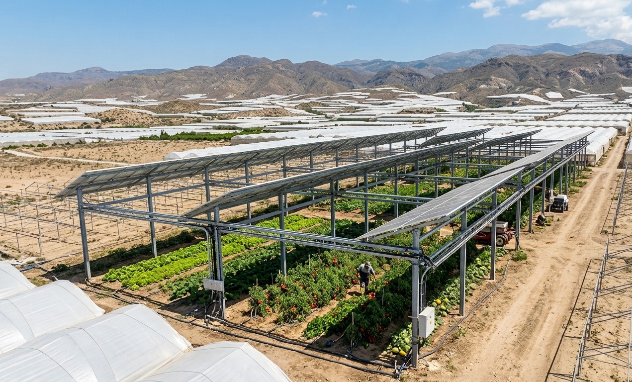
The country’s first national map of agrivoltaic projects tracks operational and planned installations through a validated geolocation database. The initiative aims to improve transparency, support planning, and provide standardized data as Spain develops its regulatory framework for agrivoltaics.
The Spanish Photovoltaic Association (UNEF), the Aurea platform, and the Spanish Agrivoltaics Association (AAE)—which was officially launched in November 2025—have announced the creation of Spain’s first national map of agrivoltaic projects. The initiative is being promoted by the Ministry for the Ecological Transition and the Demographic Challenge (MITECO) in collaboration with the Universidad Politénica de Valencia (UPV), Universidad de Córdoba (UCO) and CSIC, and organizations from the agricultural and energy sectors.
According to the association, the platform is the first of its kind in Europe. It brings together agrivoltaic projects that are either operational or under development through a geolocation system that provides information on each project’s location, installed capacity, land area, associated crops, technologies used, and developer type.
According to the initiative’s promoters, the map aims to provide standardized information for public authorities, farmers, developers, researchers, and investors while improving transparency and supporting territorial planning for the deployment of agrivoltaic systems.