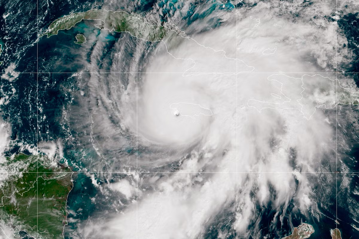
Every year from May through October, the United States enters what climate scientists and emergency managers now call “Danger Season,” a six-month gauntlet of compounding climate hazards when hurricane season peaks, heat domes settle over cities for days, wildfires spread across millions of acres, and flash floods tear through communities with little warning.
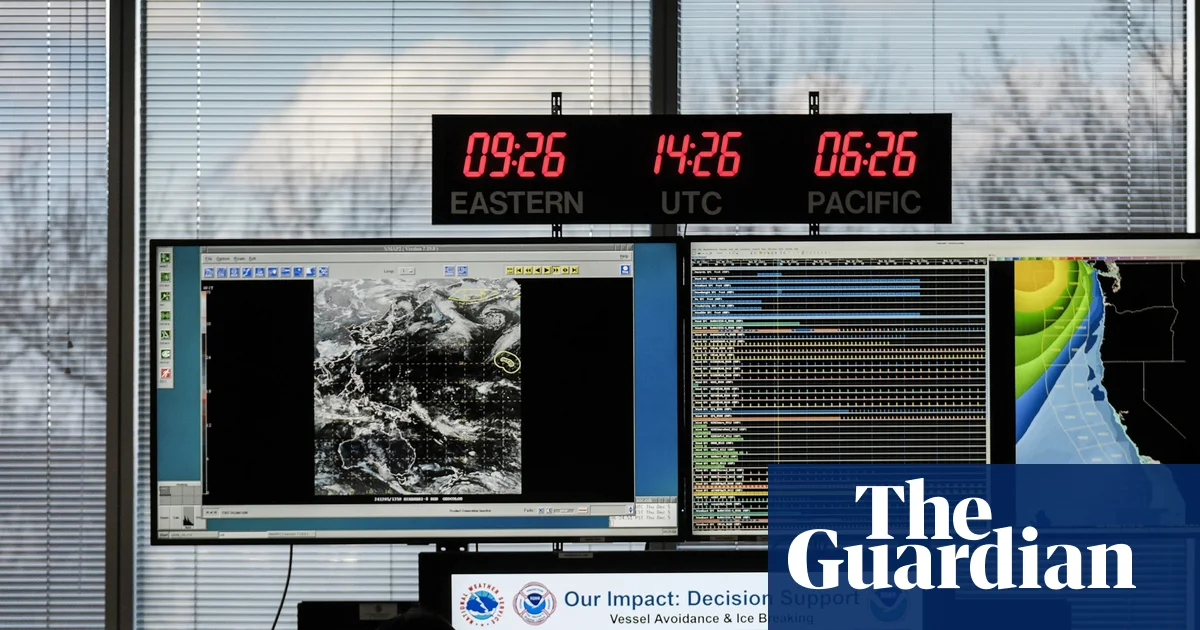
Ever-improving AI-driven forecasts can help some people stay safe by helping them understand when it’s time to buy extra food ahead of a major storm, stay off the roads, or evacuate. But millions, whether in an uninsured American mobile home park or a village in rural Madagascar or Nigeria, may receive the same warning but have no safe shelter to flee to and no financial means to protect their livelihood.
In my more than 15 years of developing models using satellite data to predict drought or assess impacts of flooding, I have found that the barrier to saving lives is rarely data accuracy, but the absence of the policy infrastructure required to act on it. While billions of dollars are poured into data centers, the physical infrastructure for resilience, such as seawalls and grain banks, is falling behind. This AI-first bias also overlooks “ground-truth” data and factual, localized validation from tools like rain gauges and soil sensors. Without this ground-level input, AI lacks the credibility and trust that local policymakers need to trigger lifesaving actions.