Show Caption
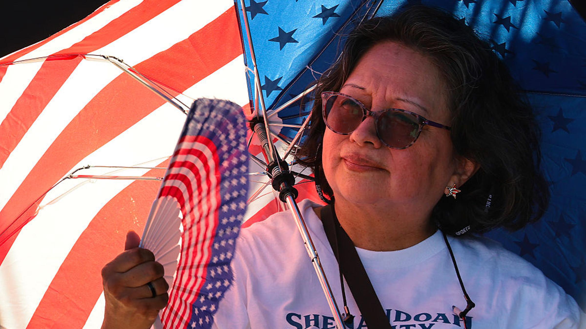
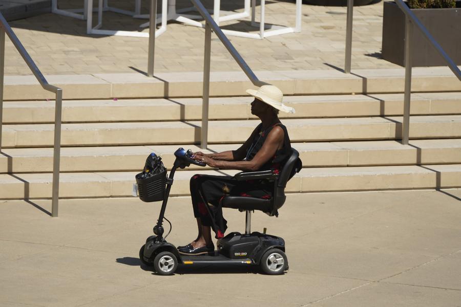
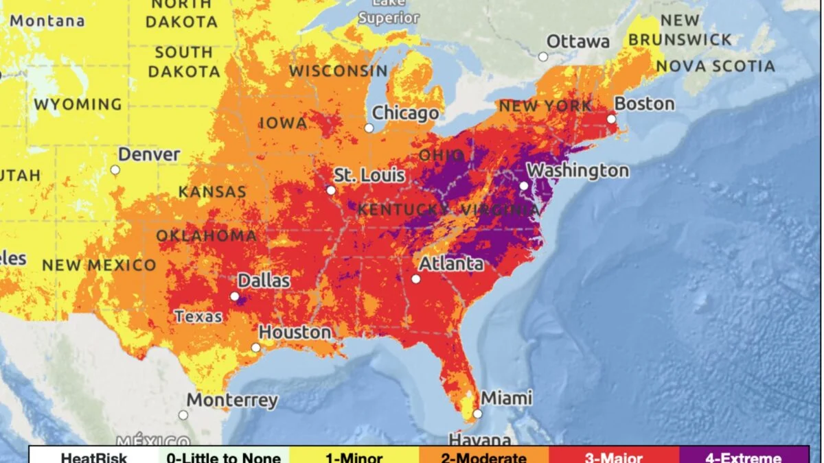
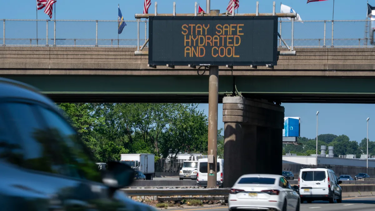
A punishing heat wave is impacting more than 250 million Americans as the Independence Day holiday weekend gets underway on Friday, July 3.The heat dome, expected to be settled over much of the eastern United States through the end of the weekend, will send temperatures soaring into triple digits in some areas with heat indices as high as 115 degrees, tying or breaking some records, the National Weather Service said.The morning of July 3, there were more than 120 million people under extreme heat warnings across the central and eastern parts of the country, in a stretch from Missouri, across Midwestern states, into Mid-Atlantic states including the Carolinas and up through New England. Another 62 million people were under heat advisories stretching into parts of the Southeast. All told, at least 250 million people will experience dangerous heat July 3, AccuWeather reported.Forecasters warn the heat wave could have devastating consequences, including heat illness, stroke or even death, and Americans need to extra cautious to monitor their health and stay hydrated and as cool as they can as they spend time outdoors at family gatherings, public events and fireworks viewings to celebrate the Fourth of July."Stay hydrated, wear light clothing, and take plenty of breaks," the weather service office for the Baltimore and Washington, DC, regions said.How hot will it get?The dangerous heat will focus in on the Midwest and Mississippi Valley, and expand across the Ohio Valley, Mid-South and East Coast through the holiday weekend, according to the Climate Prediction Center.High temperatures from 95 to 105 degrees will combine with high humidity to make the temperatures feel more like 100 to 115 degrees across the impacted area. Daily temperature records are expected to be broken during this heat wave, with some records possible for consecutive day, monthly or all-time highs.Overnight, temperatures will struggle to get below the 70s to 80s, bringing little relief.In Boston, forecasters said the temperatures July 3 will feel like 100 to 110 degrees, and 95 to 100 degrees on July 4. The Washington, DC, region will see feels-like temperatures of up to 112 degrees in some places on July 3, and up to 107 degrees on July 4. New York City area forecasters expect heat indices of 110 to 110 and some isolated areas of 115 degrees July 3, and 100 to 105 with some areas reaching indices of 110 degrees on July 4.Heat risk levels are at their most serious on a National Weather Service HeatRisk scale of 1 to 4 in some regions. Level 4 heat, which the weather service says is rare, indicates there is an extreme risk for the entire population, especially those without access to proper hydration or cooling.During Level 4 heat, power outages are likely, health systems are expected to see higher demand due to heat illness and transportation may be impacted, the weather service says.Independence Day events canceled as heat sets inThe heat has already thrown a wrench in some Fourth of July holiday celebrations.In the Washington region, organizers have canceled some events altogether. The City of Takoma Park in Maryland, just across the border from DC, cancelled its July 4 parade and street party due to the heat. Laurel, Maryland, also cancelled its July 4 parade.In Bristol, Virginia, in the southwestern part of the state, a "Salute America 250: A Symphony Spectacular" scheduled for July 3 was canceled because the symphony couldn't perform in the heat.Philadelphia's America 250 parade set for July 3 was canceled, a disappointing end for some as floats were all lined up and ready to go that morning, reported the Delaware News Journal, part of the USA TODAY Network.Other event organizers say they are watching the weather forecast closely and may need to adjust plans.How to stay safe in extreme heatThe weather service says people experiencing a Level 4 heat risk should take the following actions to protect themselves from heat injury or death:Strongly consider canceling outdoor activitiesStay hydrated by drinking plenty of waterWear lightweight, light-colored clothingStay in a cool place, including overnightUse air conditioning if you have it, or find a location that does. Fans alone are not adequateCheck on your neighborsNot just heat – thunderstorms also to impact central, eastern USA front from the Upper Great Lakes to the Northern High Plains will move into the Northern Mid-Atlantic, the Ohio Valley, the Middle Mississippi Valley and the Central Plains regions, bringing risks of thunderstorms over the holiday weekend, the weather service said.Lightning, gusty winds and a chance for a few tornadoes are expected in the Central Plains and Middle Mississippi Valley on July 3. Through July 4, there is also a risk of hail, lightning, severe thunderstorm wind gusts and tornadoes in the Northeast and northern Mid-Atlantic westward to the Plains region.Flash flooding from excessive rainfall is possible in the Central Plains and Middle Mississippi Valley through the morning of July 4.