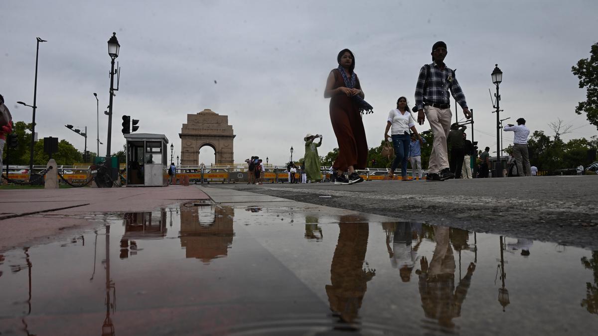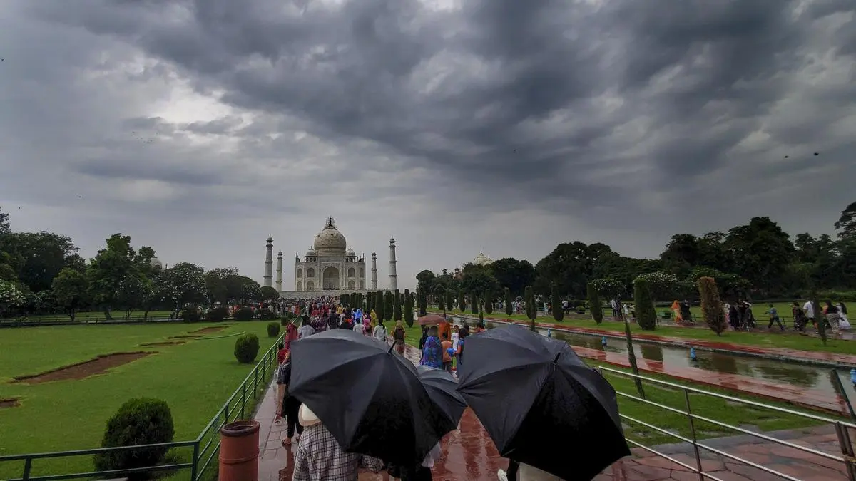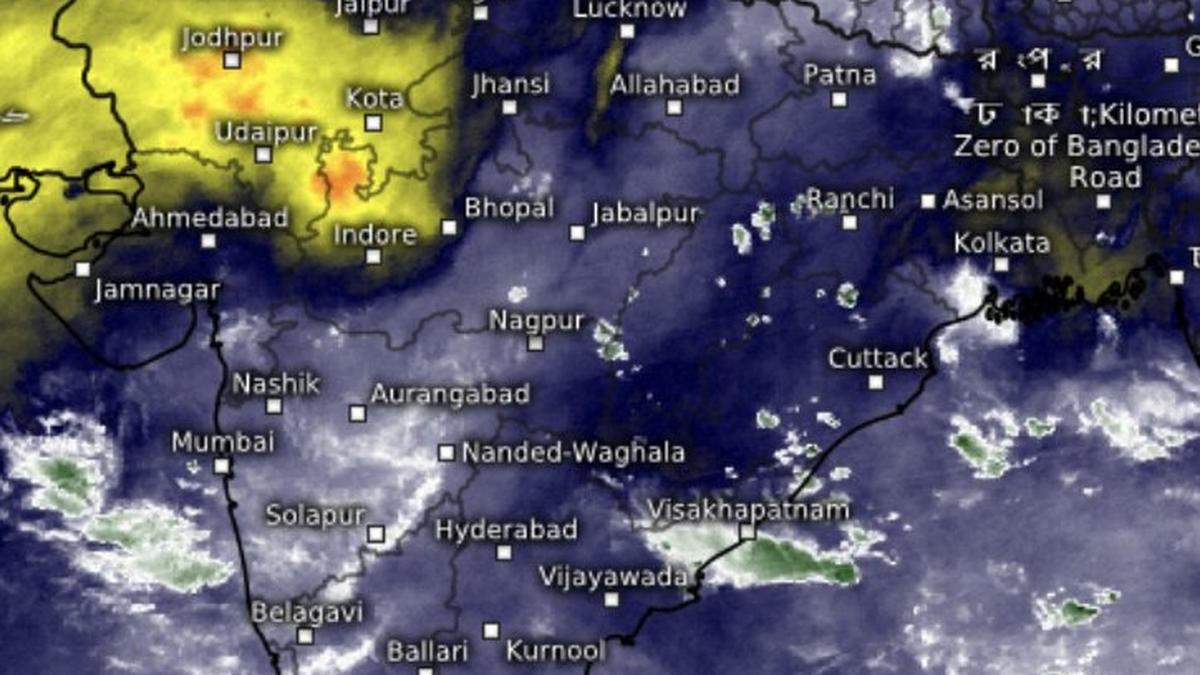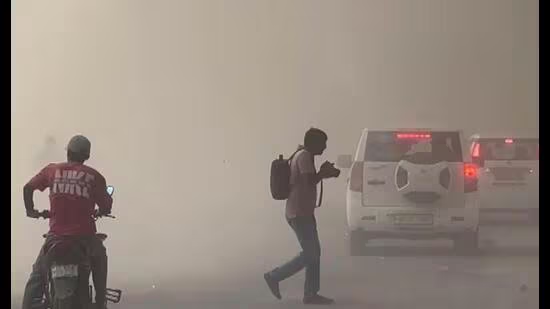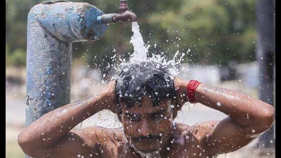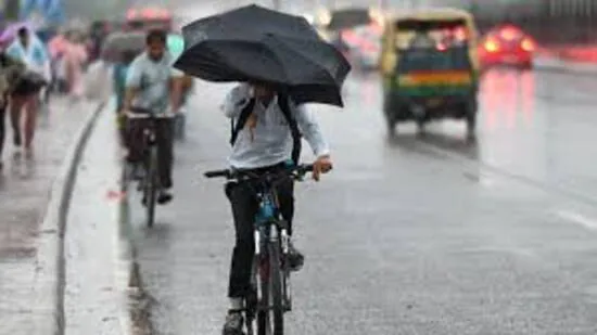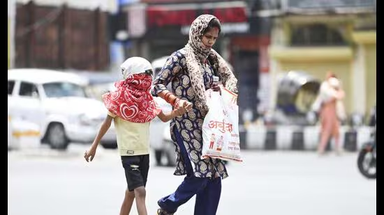
After an 11-day delay, the Southwest monsoon is set to enter Uttar Pradesh within the next 24 to 48 hours, bringing widespread rainfall, thunderstorms and lightning across the state, the India Meteorological Department (IMD) said on Monday. The monsoon normally reaches the state by June 18, while the rainfall deficit has widened to 59%.Agra was the hottest place in UP and the sixth hottest in the country on Monday (File photo)The IMD said conditions are favourable for the monsoon’s advance into Uttar Pradesh over the next two days. A fresh spell of rain is likely to begin from June 30, with rainfall expected to increase gradually. Good rainfall is also forecast during the first week of July.With the arrival of the monsoon, heatwave conditions are expected to end across the state. Maximum temperatures are likely to fall by 5 to 7 degrees Celsius during the first week of July. Weather activity over the past two days has already reduced the intensity of the heatwave, limiting it to only a few districts.The weather department has issued an orange alert for Tuesday for thunderstorms and lightning in more than 25 districts, including Chitrakoot, Banda, Prayagraj, Mahoba and Jhansi.A yellow alert has been issued for thunderstorms and lightning in districts including Fatehpur, Lakhimpur Kheri, Sitapur, Hardoi, Farrukhabad, Barabanki, Raebareli, Amethi, Sultanpur, Ayodhya, Saharanpur, Shamli, Muzaffarnagar, Kasganj, Bijnor, Amroha, Moradabad, Rampur, Bareilly, Pilibhit, Shahjahanpur, Sambhal, Budaun, Jalaun and Hamirpur.Heavy rainfall is also likely at isolated places in districts such as Deoria, Gorakhpur, Basti, Kushinagar, Maharajganj, Gonda, Balrampur, Lakhimpur Kheri, Sitapur, Hardoi, Barabanki, Kasganj, Bijnor, Amroha, Moradabad, Rampur, Bareilly, Pilibhit, Sambhal and Budaun.The IMD has also warned of gusty winds of 30 to 40 kmph, with gusts reaching up to 50 kmph, across several districts, including Banda, Prayagraj, Varanasi, Ayodhya, Saharanpur, Muzaffarnagar, Bareilly, Jhansi and Lalitpur.Rain deficit widens to 59%The delayed arrival of the monsoon has widened Uttar Pradesh’s rainfall deficit to 59%. The state has received 36.2 mm of rainfall against the normal 89.2 mm so far this season.East Uttar Pradesh recorded a 64% deficit, receiving 36.2 mm against the normal 101.2 mm, while West Uttar Pradesh reported a 50% shortfall with 36.3 mm of rain against the normal 72.3 mm.During the past 24 hours, Katarniaghat in Bahraich received the highest rainfall at 104.6 mm, followed by Tulsipur in Balrampur (62 mm), Maharajganj (45 mm), Bansi in Siddharthnagar (45 mm), Koraon in Prayagraj and Gonda (36 mm each), and Ayodhya (34 mm). In western Uttar Pradesh, Bilaspur in Rampur recorded 25.4 mm, Kasganj 20 mm and Bareilly 15.4 mm.Temperatures ease, humidity persistsLucknow recorded a maximum temperature of 39.7 degrees Celsius and a minimum of 29.2 degrees Celsius on Monday. The forecast for Tuesday is partly cloudy skies with one or two spells of rain or thundershowers. The maximum and minimum temperatures are expected to be around 38 degrees Celsius and 27 degrees Celsius, respectively. Thunderstorms accompanied by lightning and gusty winds of 40 to 50 kmph are also likely at isolated places.Across the state, rain or thundershowers are likely at a few places in West Uttar Pradesh and at many places in East UP. Heavy rainfall is also expected at isolated locations.Agra was the hottest place in UP and the sixth hottest in the country on Monday, recording a maximum temperature of 42.9 degrees Celsius. It was followed by Aligarh (42), Banda (41.2), Prayagraj (41), Orai (40.8), Kanpur (40.3), and Lakhimpur Kheri, Jhansi, Fatehgarh, Basti and Etawah at around 40 degrees Celsius.
Monsoon set to enter UP after 11-day delay; rain deficit hits 59%
The IMD said conditions are favourable for the monsoon’s advance into Uttar Pradesh over the next two days. A fresh spell of rain is likely to begin from June 30, with rainfall expected to increase gradually. Good rainfall is also forecast during the first week of July.
578 words~3 min read