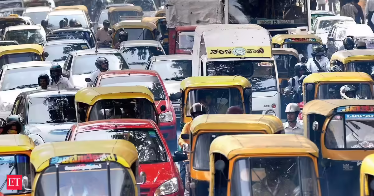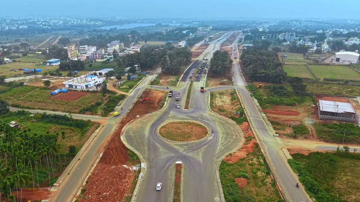
According to officials, the Major Arterial Road could witness bottlenecks because a 300-foot-wide road at either end converges into roads that are at least four times narrower.
| Photo Credit: Special arrangement
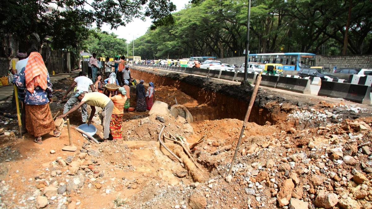
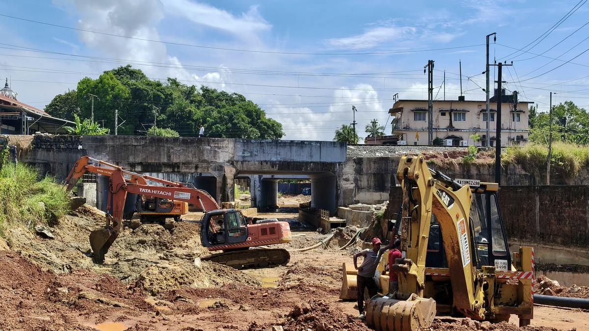
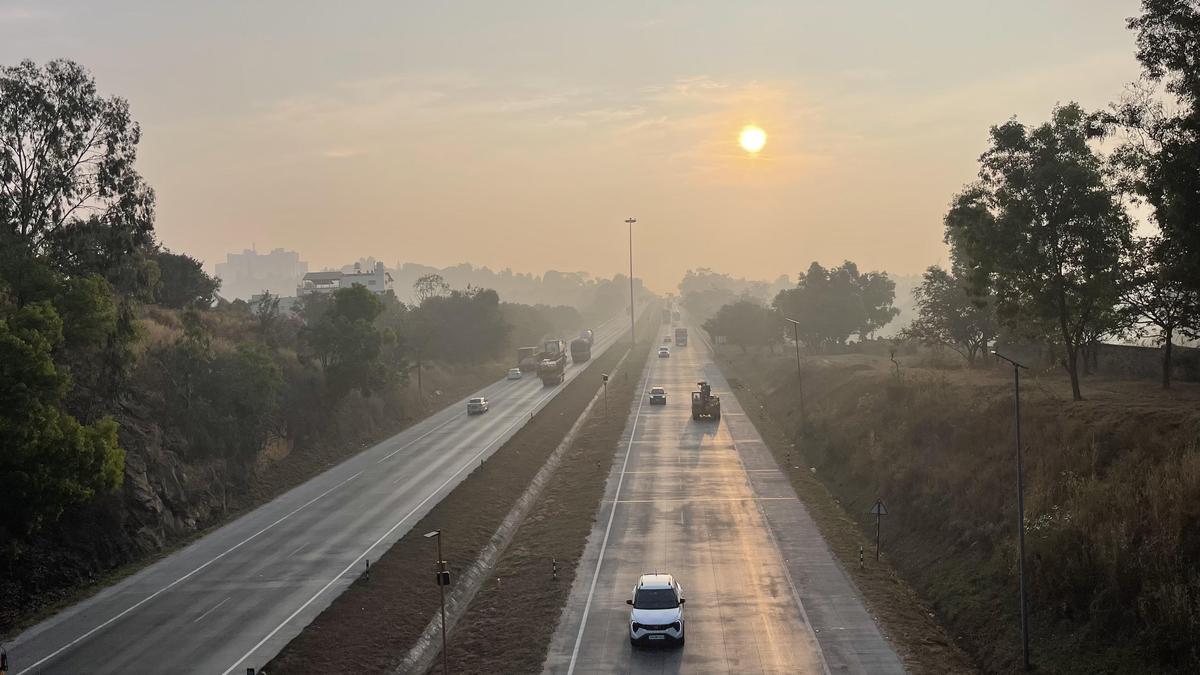
Bengaluru’s Major Arterial Road (MAR), the city’s widest road with a width of 320 feet, is set to be inaugurated by the end of June. The MAR runs parallel to NICE Road, passes through Nadaprabhu Kempegowda Layout (NPKL) and spans 10.76 km.However, issues have surfaced in both its design and execution.Earlier, The Hindu reported the possibility of bottlenecks at the ends of the road. Now, the Bangalore Development Authority (BDA) and Bengaluru Traffic Police (BTP) have planned to install traffic signals at both ends to address the issue, after considering diverting traffic through the interior roads of NPKL. The BDA was also thinking about an underpass at Magadi Road as a solution, but it has been junked.High volumeAccording to sources, although some vehicles can be diverted through other roads, the volume of traffic at the connecting junctions is still expected to be high, making the installation of signals inevitable.“The actual volume of vehicles can only be assessed once the stretch becomes fully operational and more people start using it. However, preliminary projections suggest the need for traffic signals,” a traffic official said.Reason behind the problemsAccording to the official, the primary reason for bottlenecks is that a 300-foot-wide road at either end converges into roads that are at least four times narrower.Moreover, the MAR connects Mysuru Road with Magadi Road. Magadi Road already experiences heavy traffic, particularly during weekends, and BTP officials say congestion at the MAR convergence point on Magadi Road is inevitable.On the other hand, the MAR will not directly connect to the Bengaluru–Mysuru Access Controlled Highway. While the MAR ends near Challaghatta Metro Station, the highway begins a few kilometres earlier. As a result, commuters from the northwestern parts of the city who wish to access the highway will have to travel a few extra kilometres.“When the road was planned, provisions could have been made for more connecting roads within NPKL, creating links to different points so that commuters would have multiple route options. Now, the BDA is exploring whether interior roads can be connected to different ends,” a source said.According to BDA sources, the road was planned as far back as 2017, and the extent of the current issues and shortcomings could not have been foreseen at the time.Great for connectivityDespite the design flaws, the MAR provides a significant connectivity link between Mysuru Road (National Highway) and Magadi Road (State Highway). The 10.76-km stretch will also form part of the 54-km Peripheral Ring Road-1 (PRR), which will connect Hosur Road and Tumakuru Road via Bannerghatta Road, Hosur Road, and Magadi Road.The road will comprise 10 lanes, including a six-lane main carriageway (three lanes on each side), four-lane service roads (two on each side), dedicated cycling tracks, and walkways with utility ducts beneath them. The service roads and main carriageways on both sides will be separated by 27.5-metre-wide boulevards.Recent issuesA purported video that went viral on social media showed a portion of the MAR caving in following heavy rainfall on Saturday (June 20, 2026). The BDA identified the issue and rectified it within two days. The BJP also took to social media to criticise the Congress government over the allegedly shoddy work. BDA officials were unavailable for comment. Published - June 24, 2026 06:21 pm IST