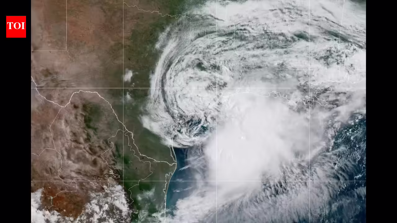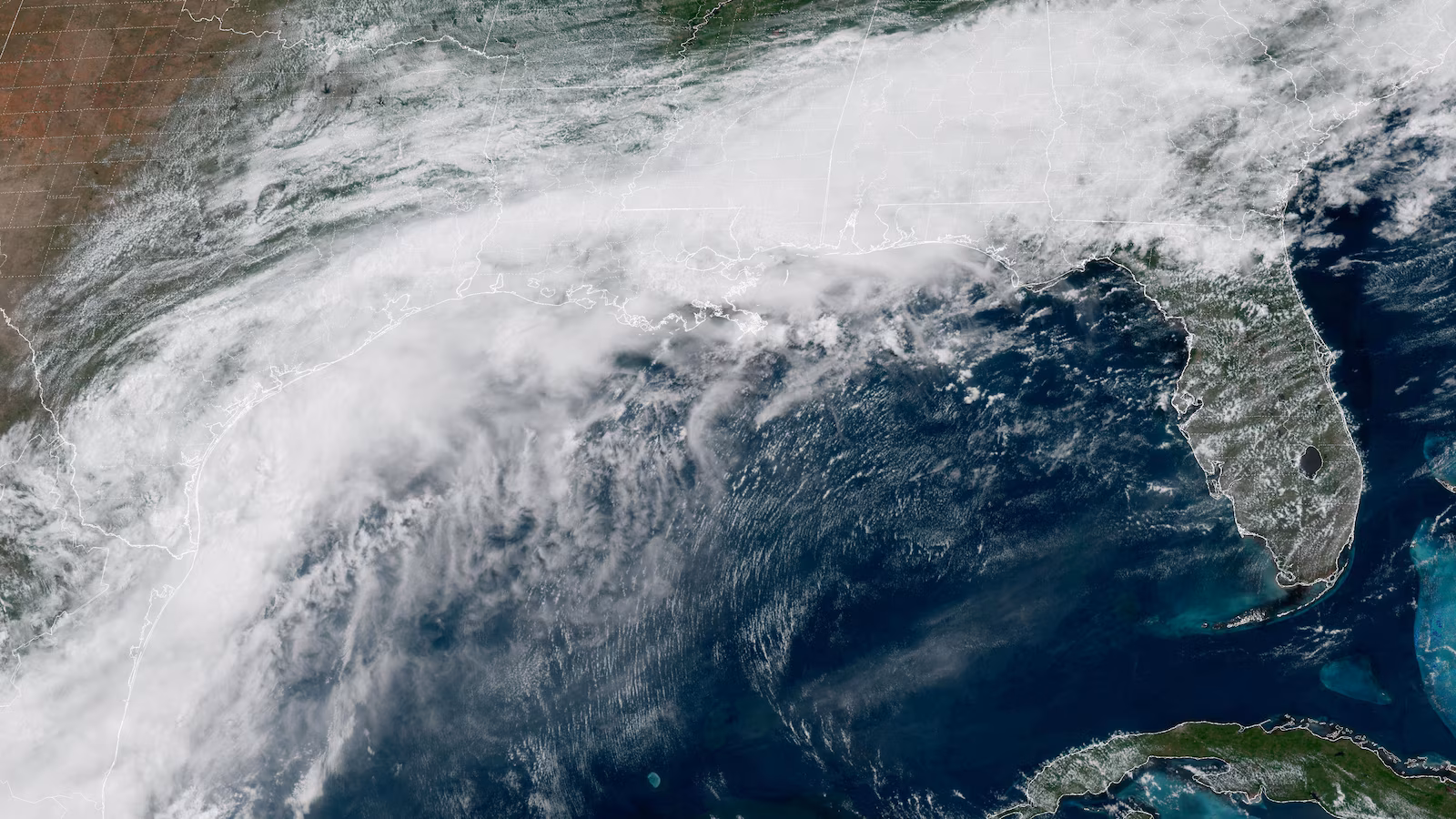
The gathering of moisture originates from former eastern Pacific Tropical Storm Cristina, a tropical wave of low pressure from Africa, a stalled weather front and the jet stream. Photo courtesy NOAA
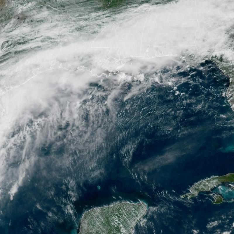
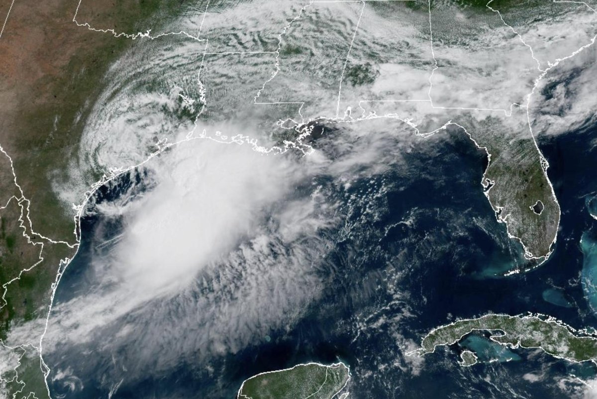
A mass of showers and thunderstorms that has been sprawled across Texas and northern Mexico in recent days over South Texas has consolidated into a tropical rainstorm on Tuesday and is forecast to become Tropical Storm Arthur by early Wednesday. Life-threatening flooding, property damage and disruptions to commerce and travel may unfold as inches of rain pour down, regardless of official designation.
The gathering of moisture originates from former eastern Pacific Tropical Storm Cristina, a tropical wave of low pressure from Africa, a stalled weather front and the jet stream.
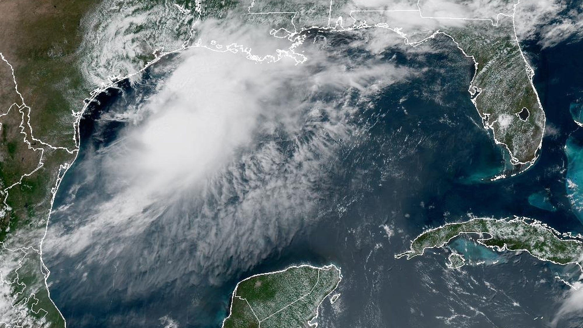
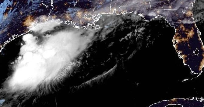
This image was captured on Tuesday morning and shows blossoming downpours and thunderstorms along the Texas and northeast Mexico coasts. Image courtesy AccuWeather
This tropical rainstorm will track northeastward along the Texas coast into Thursday. AccuWeather is the only known source to use the term "tropical rainstorm," drawing additional attention to tropical systems that may not officially have a name but pose a flooding risk.