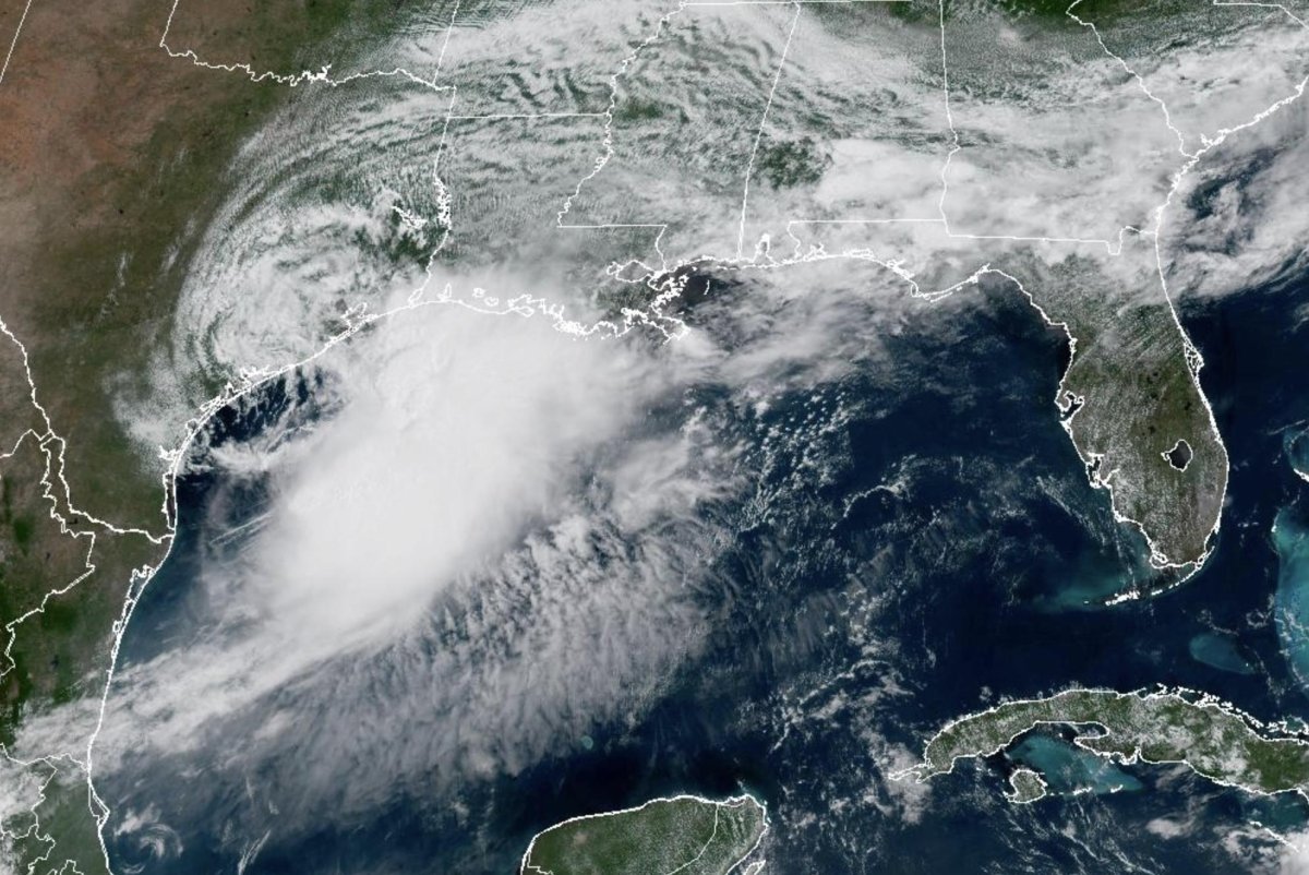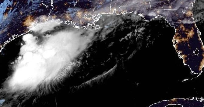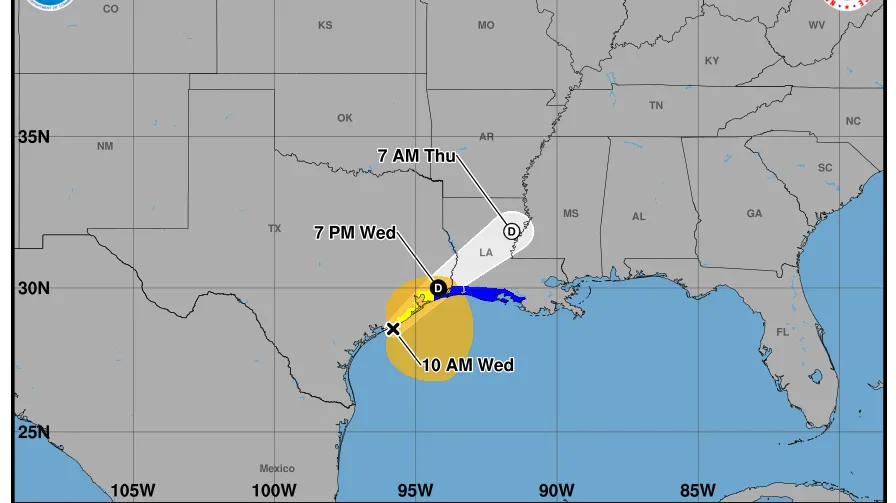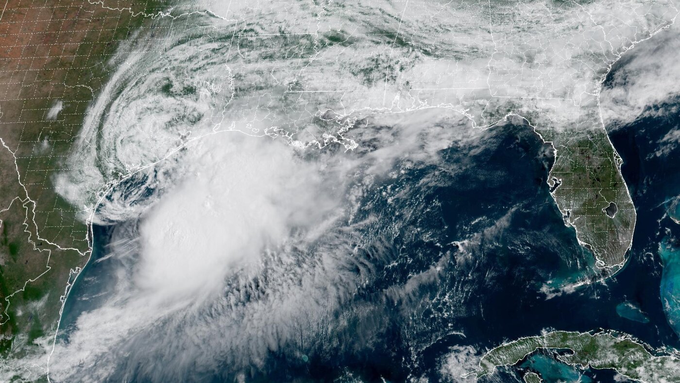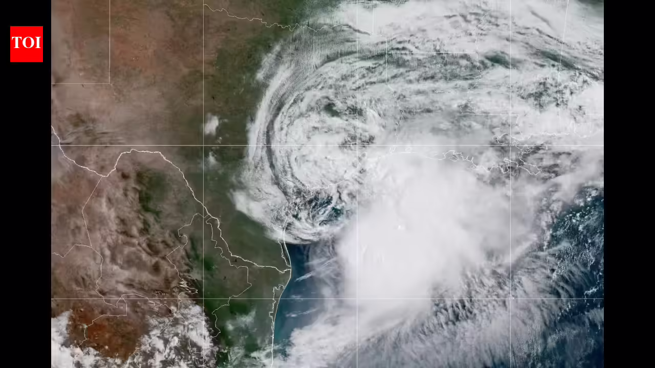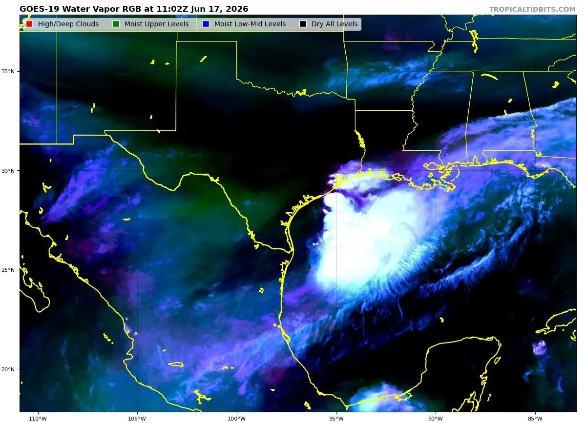
Satellite image of Tropical Storm Arthur in the early morning hours of June 17, 2026.NOAATropical Storm Arthur could form later today just off the Texas and Louisiana coast. If it does, it will be the first named storm of the 2026 Atlantic hurricane season. However, there are signs that it may be running out of time to reach tropical storm status. Here’s what you need to know about it.What Are The DetailsThe National Hurricane Center expects Potential Tropical Cyclone One to strengthen to a tropical storm at some point on Wednesday. As of 8 am, the storm has maximum sustained winds of 30 miles per hour. It also features a large area of thunderstorms and rain showers. On Tuesday, forecasters were more bullish about the storm intensifying to a tropical storm, but the NHC discussion has backed off some Wednesday morning.“The prospects for this system to become a tropical cyclone may be decreasing. With the low-level center unlikely to fully emerge over the Gulf waters for an appreciable amount of time,” wrote NHC. "It will be difficult for the system to gain the convective organization necessary to become a tropical cyclone before it movesinland tonight. Even if the system doesn’t become a tropical cyclone, there could still be some strengthening of the wind field well east of the center during the day," they continued. Status of Potential Tropical Cyclone One on Wednesday morning.NOAAWhere Is It Going?"The system is expected to accelerate northeastward today, and straddle thecoast most of the day, before moving farther inland over eastern Texas or Louisiana tonight," wrote the National Hurricane Center early Wednesday morning. Once the storm moves inland, it is expected to weaken but could still produce 5 to 10 inches of rain according to the National Hurricane Center. Isolated amounts up to 20 inches in the middle to upper Texas coast and parts of Louisiana, Mississippi, and Alabama cannot be ruled out either, according to NHC. Even western Georgia and the panhandle of Florida will see potential for life-threatening flooding.MORE FOR YOUPotential rainfall from Potential Tropical Cyclone One.NOAAOddly, some models show “reintensification over Alabama and Georgia." As someone who has studied inland reintensification of tropical systems much of my career and the Brown Ocean Effect of soil moisture, I am always watching these types of systems. According to NASA data, there is ample soil moisture in the future pathway of the storm.Relative soil moisture on June 17, 2026.NASAIs This Unusual?According to NOAA, the first named storm of the year typically forms around June 20, so Arthur seems to be right on time. The first Atlantic hurricane is expected, on average, August 11 with the first major storm coming a month later. Over the period 1949 to 2025, typical origin points for storms are in the Gulf region, so there is nothing particularly unusual about Arthur.Experts have projected below-average activity in the Atlantic basin as a strong El Nino continues to develop. However, that does not mean that we will not see hurricane activity this season. In fact, I still expect over 10 named storms this year, and it only takes one really bad one to change lives and communities.Where storms form during this time of year.NOAA
Tropical Storm Arthur May Form (Or Not). What You Need To Know
Potential Tropical Cyclone One, off the Texas and Louisiana coast, is on the brink of becoming the first named storm of the season. Will it make it?
532 words~2 min read