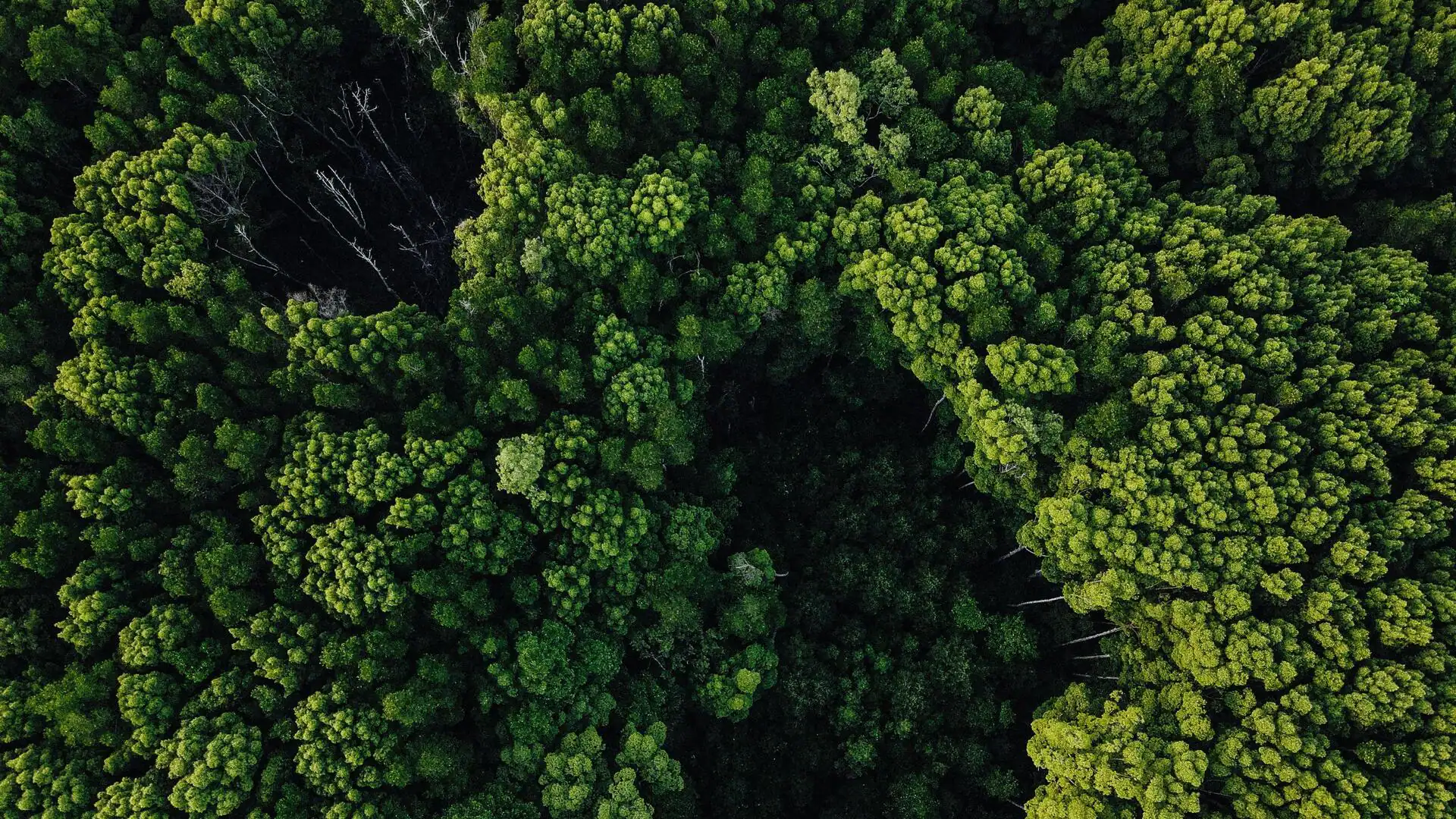
Platforms like PandionAI and Open Foris use AI with satellite data for detailed forest monitoring
Jun 12, 2026
01:17 pm
What's the storyAI is revolutionizing precision forestry management by improving the speed, accuracy, and scalability of forest measurement, monitoring, and decision-making.
It utilizes satellite images, drone imagery, and field photos to facilitate timber inventory, forest health monitoring, harvest planning, carbon accounting, and reforestation.