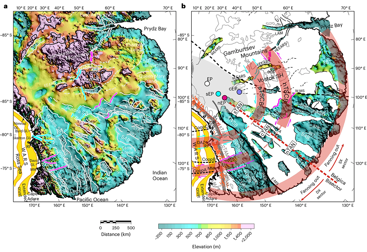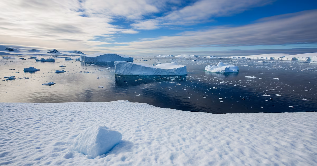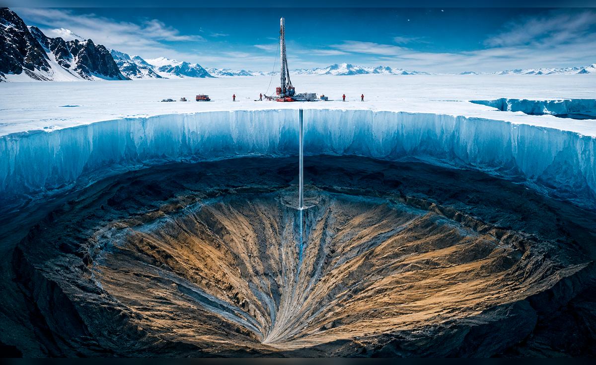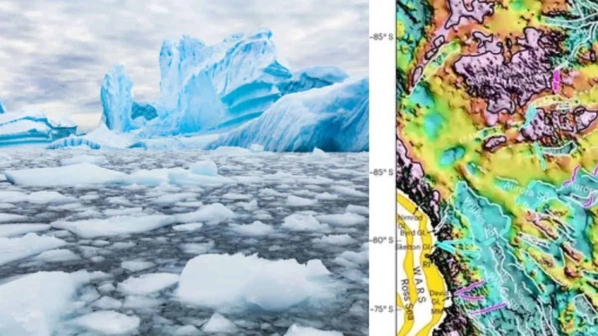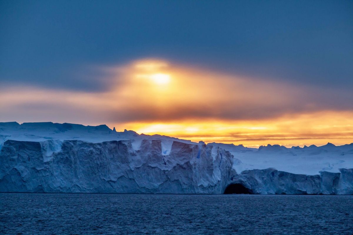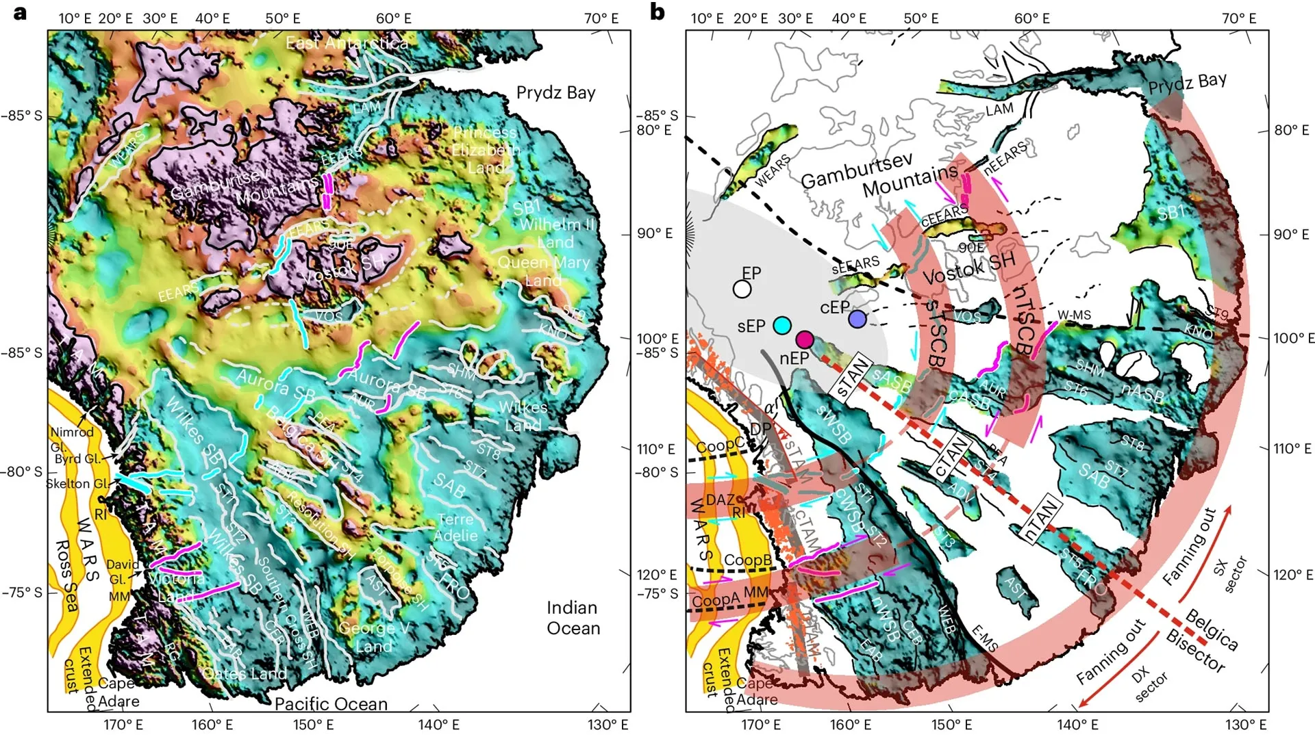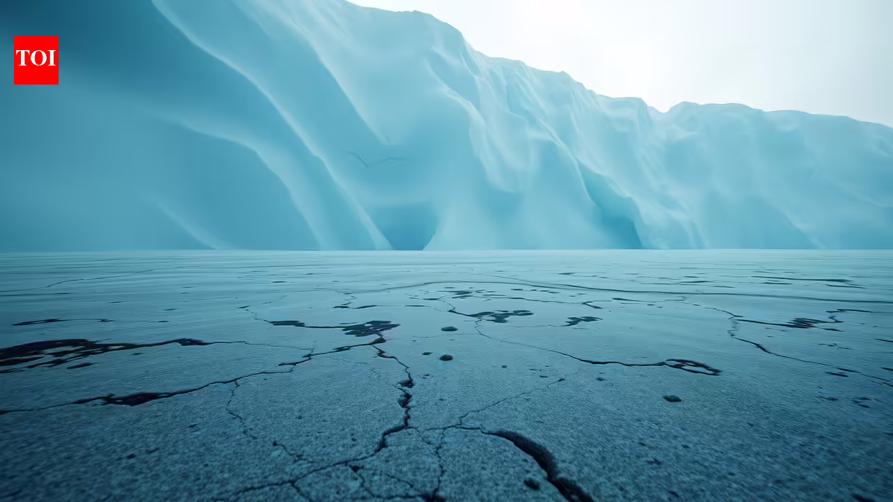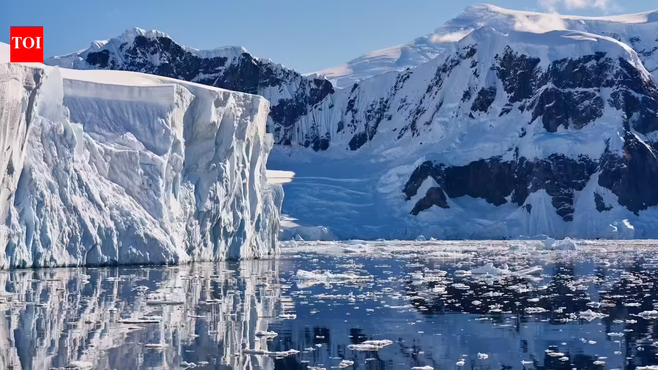
The East Antarctic Ice Sheet is almost unfathomably huge. Covering about 75% of the entire frigid continent (nearly everything on its side of the Transantarctic Mountains), the sheet covers about 3.9 million square miles (10.2 million square kilometers) and extends down 1.4 miles (2.2 km), on average, before coming into contact with Earth’s surface. At its deepest, the ice plunges down over 3 miles (4.9 km). For decades, scientists assumed that this literally continent-sized block of ice rested on an expansive and stable chunk of Earth’s crust known as a craton. A team of researchers has now complicated that picture—mapping a vast, interconnected geological structure that fans out from a troubling “tectonic deformation.” Beneath this ice sheet, thinner and more geologically recent slices of crusty lithosphere fan out into hidden valleys called “pull-apart basins.” These basins—30 elongated wedge-shaped valleys in total—constitute an entirely new, continental-scale geological region underneath Antarctica, in fact, one which the researchers have named the East Antarctic Fan-Shaped Basin Province (EAFBP). But it’s how they likely formed that has now caught researchers’ attention.
To put it bluntly, it turns out that about 90% of the planet’s fresh water ice may not be on solid ground. Geologist John Goodge called the team’s findings “provocative” in an independent commentary on the new study, published Thursday in the journal Nature Geoscience.