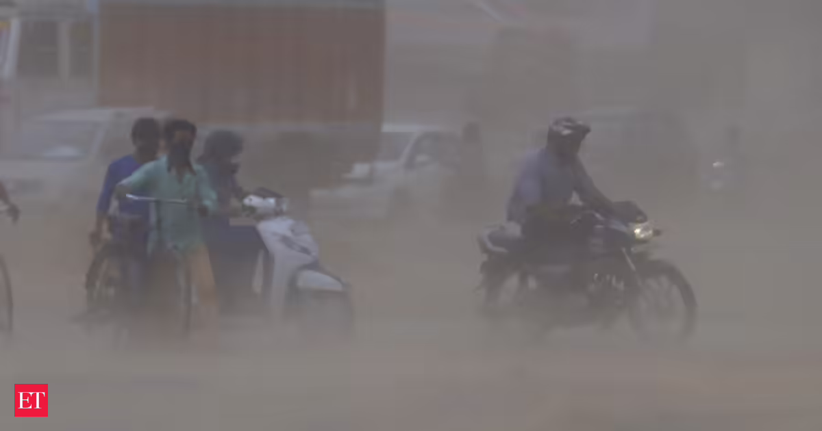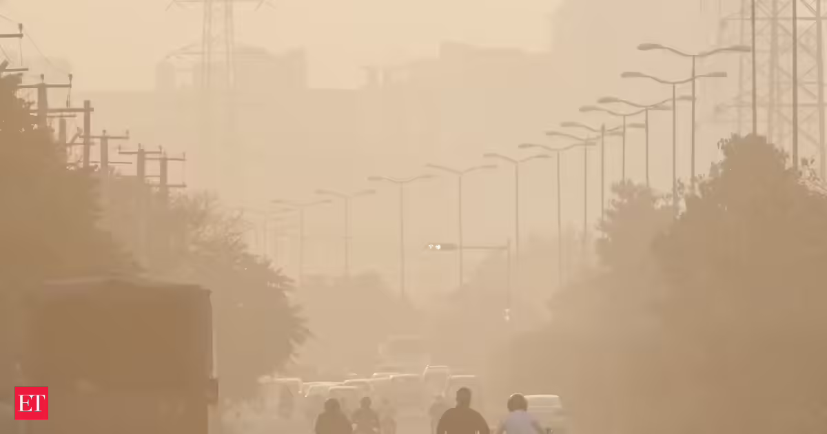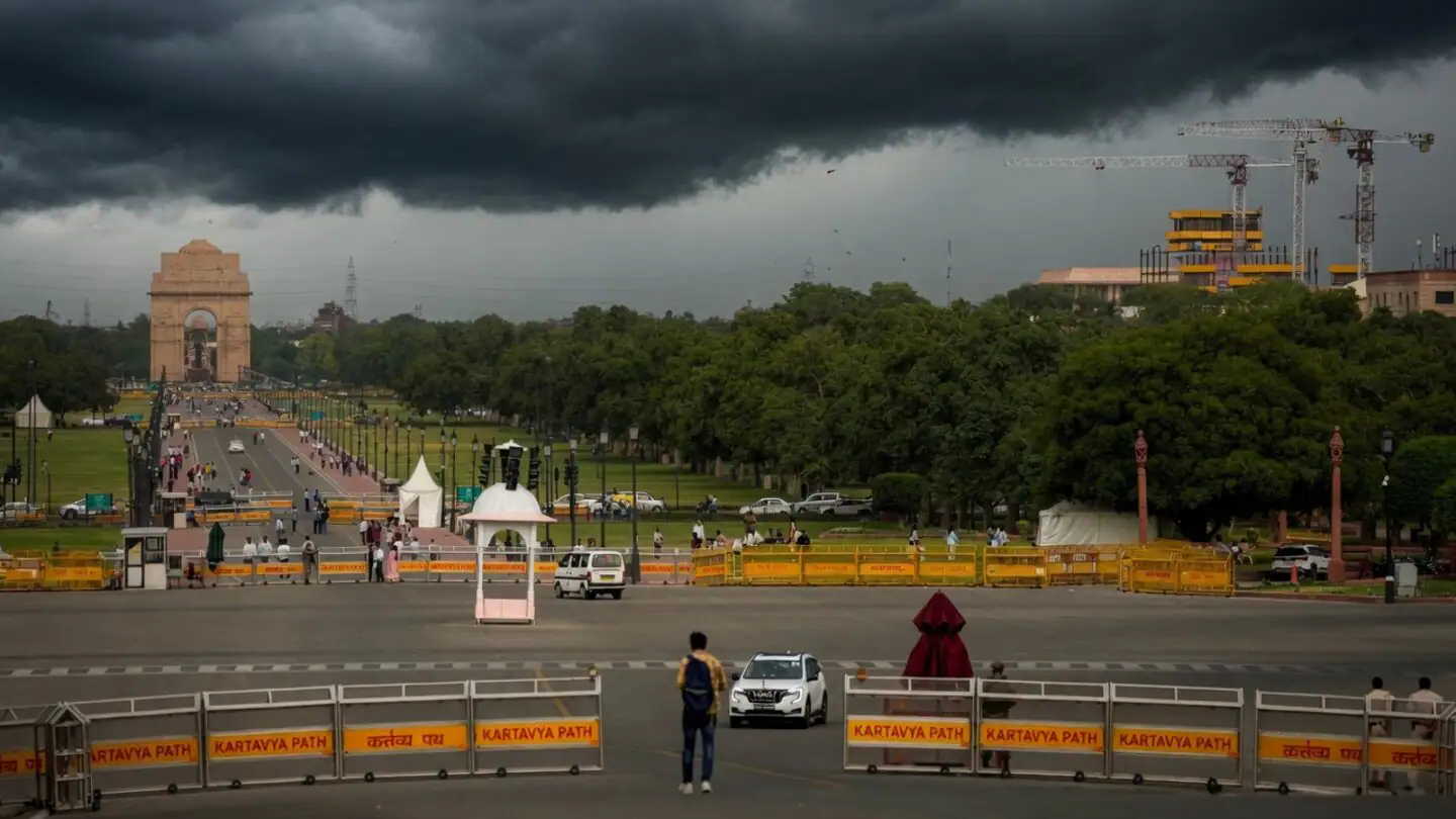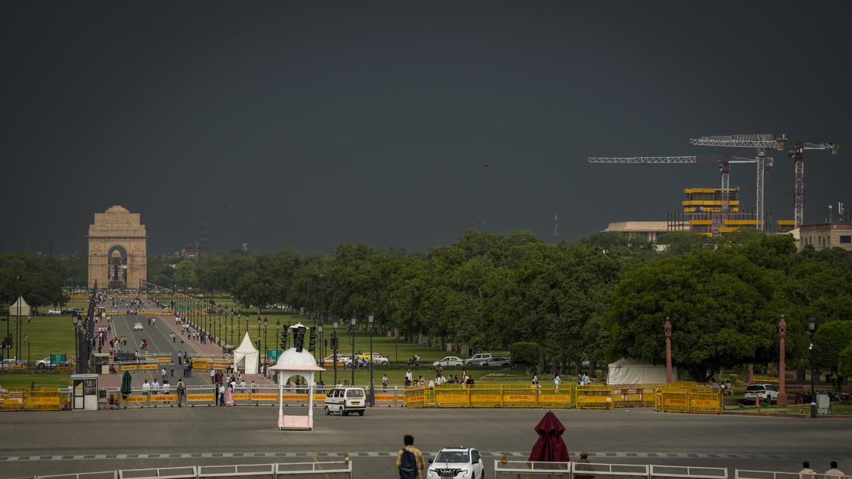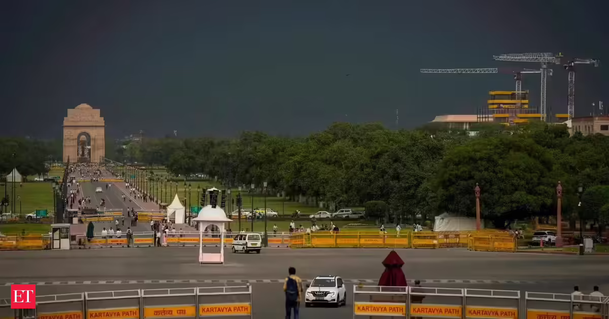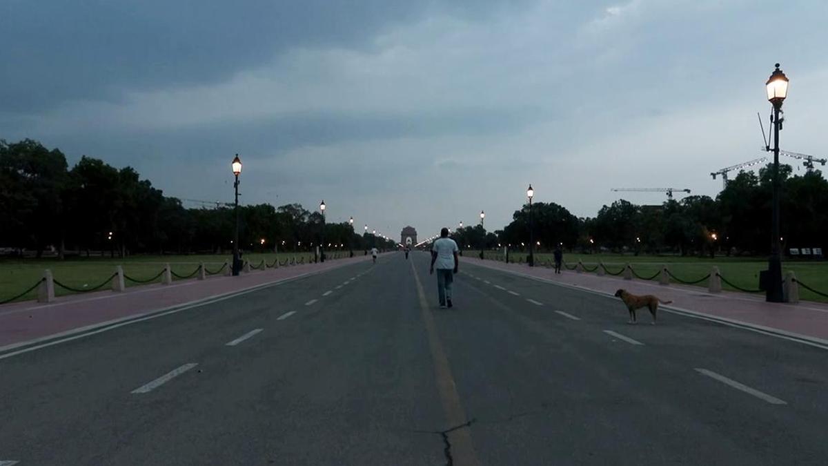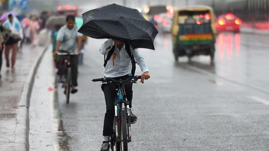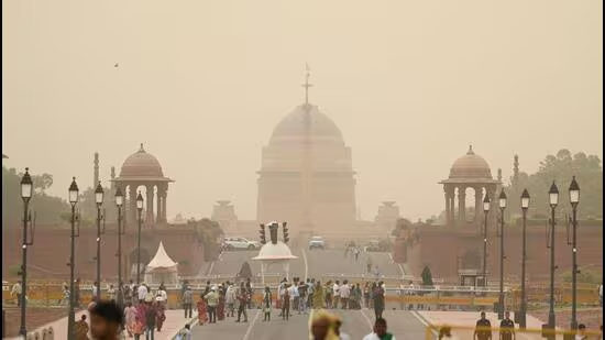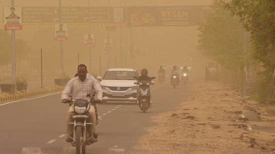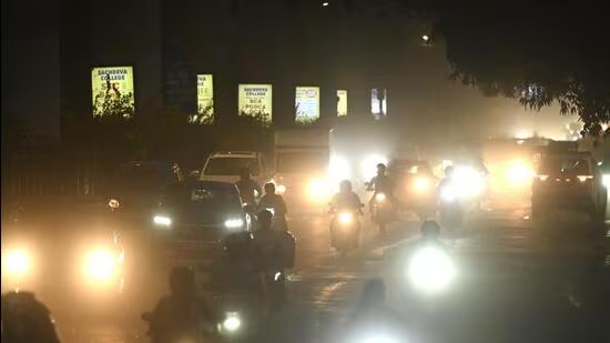
New DelhiDust storm sweeps through Karol Bagh on Tuesday evening. (Sanchit Khanna/HT Photo)A squally dust storm, with speeds hitting 120kmph at Palam, swept through Delhi-NCR on Tuesday evening, disrupting flight operations at the Indira Gandhi International (IGI) Airport and evening traffic movement at some locations. This was the fastest wind to hit Palam since April 27, 2005, when the speed touched 138kmph, according to data shared by the India Meteorological Department (IMD).At least two flights were diverted to nearby airports, with over 400 flights delayed as per the flight-tracking portal FlightRadar24.“The highest wind speed of 120kmph was reported over Palam, followed 80kmph at Pusa and 64kmph at Safdarjung. A squall was reported over both Palam and Safdarjung,” said India Meteorological Department (IMD) scientist Krishna Mishra.The IMD classifies it as a “squall” when the wind speed increases by at least 16 knots (30kmph) to a minimum of 22 knots (41kmph) while lasting for at least one minute.“No significant fall in temperature was reported, due to it mostly being a dry thunderstorm,” Mishra said.Experts termed the storm a typical “pre-monsoon” activity, caused by a combination of high heat through the day and adequate moisture in the air through a cyclonic circulation, leading to convention and the formation of thundery clouds within a short window.The IMD has forecasted similar weather on Wednesday, with high temperatures during the day and the possibility of thundery development in the evening. An orange alert for rain is in place for Thursday, as a western disturbance approaches the region, it said.Delhi’s maximum temperature was 43.5 degrees Celsius (°C) on Tuesday, four degrees above normal and the highest so far this month. However, high humidity meant the ”real feel” or heat index (HI) hovered around 45°C during the day. Delhi’s minimum was 29.2°C, two notches above normal.The weather changed rapidly after 5.30pm, with the skies turning overcast and gusty winds and squall between 6.30pm and 7.30pm, with patchy drizzle recorded in the city too.On Sunday, Palam logged winds with a top speed of 101kmph.Mahesh Palawat, vice President at Skymet Weather, said there was high surface heating during the day, with a trough and cyclonic circulation towards Pakistan, gradually feeding moisture. “This led to the formation of thunder clouds through convection, causing intense activity over Rajasthan, Haryana and Delhi.”Palawat said that the open nature of Palam helps the wind speed peak. “There are limited obstructions around the airport.”Amateur weatherman Ashwary Tiwari, who runs the IndiaMetSky social media handle, said such storms were not uncommon in the run-up to the monsoon. “High heat and moisture caused instability. At the same time, with the monsoon coming up, a low surface-level trough also persists, which will eventually turn into the axis of the monsoon,” he said.Delhi’s 24-hour average air quality, meanwhile, stayed in the “moderate” category, but is likely to worsen by Wednesday due to the dust storm. The Air Quality Index (AQI) was 164 on Tuesday, a deterioration from 151 recorded a day earlier, as per the Central Pollution Control Board’s daily bulletin.
Squally dust storm sweeps through Delhi, as wind speed touches 21-year high
A dust storm with 120 km/h winds hit Delhi-NCR, disrupting flights and traffic. The IMD forecasts similar weather and an orange alert for rain on Thursday. | Latest News Delhi
501 words~2 min read