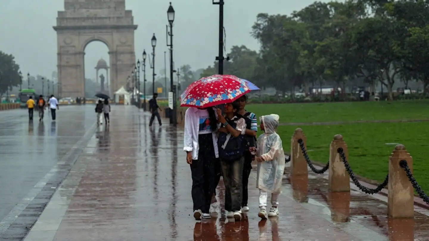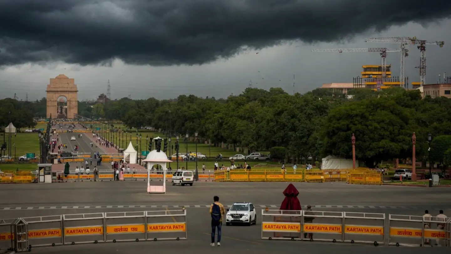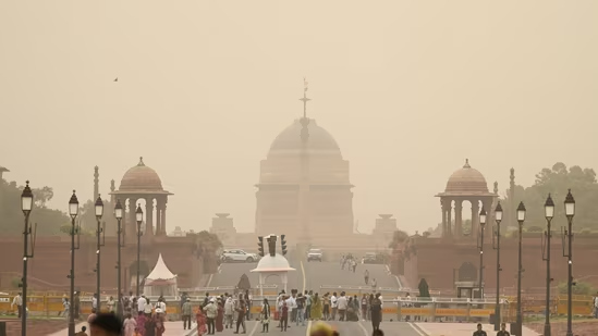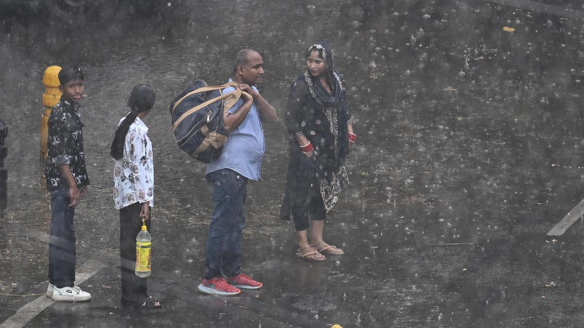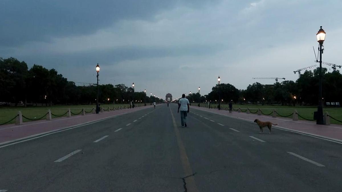
Delhi witnessed a severe dust storm on Tuesday night, with wind speeds touching 128kmph at Pusa as weather conditions changed rapidly during the evening hours. The India Meteorological Department (IMD) has forecast a similar weather condition on Wednesday and also issued an ‘orange’ alert for rain on Thursday.People seen out during a sudden dust storm over Kartavya path in New Delhi on Tuesday. (Sanchit Khanna/ HT Photo)According to IMD data, Safdarjung recorded the highest rainfall during the night, logging 9.6mm between 11.30pm and 2.30am, along with a top wind speed of 74kmph around 11.30 pm. Lodi Road received 7.4mm of rain from Tuesday evening to early Wednesday morning, while Pusa recorded 4mm of rainfall between 8.30pm and 2.30am. Palam, which registered the second-highest wind speed of 120kmph on Tuesday evening, received only 0.1mm of rain overnight. Pitampura recorded 1mm of rain between 11.30pm and 8.30am, while Ridge, Ayanagar, and Mayur Vihar did not see any rain.The IMD has issued a yellow alert for today, predicting partly cloudy skies with a spell of very light or light rain along with thunderstorms and winds reading 60kmph. The weather department has also forecast thunderstorms during the weekend.Several residents across the city woke up to uprooted trees and fallen branches in their neighbourhoods following the storm. Many people took to X to post photographs showing trees uprooting pavements, crushing boundary walls and blocking roads. Similar incidents were reported from localities including Hauz Khas, Defence Colony, Panchsheel Park and Vasant Kunj.Till Wednesday morning, only two flights had been diverted from the Indira Gandhi International Airport, according to DIAL officials. Flight-tracking portal FlightRadar24 showed 193 delayed flights as of 9.45am on Wednesday, including 65 arrivals and 128 departures.The maximum temperature on Wednesday is likely to remain between 43°C and 45°C, close to Tuesday’s 43.5°C. IMD officials said the city experienced a mostly dry thunderstorm, which prevented the rain and winds from bringing any significant drop in temperature. Tuesday’s maximum temperature was higher than Monday’s 42.2°C, while the minimum temperature on both days was recorded at 29.2°C.Delhi, however, recorded a sharp fall in the minimum temperature on Wednesday, which settled at 22.9°C, about 5.1°C below the IMD’s normal for this period and 6.3°C lower than Tuesday’s minimum. The maximum temperature is expected to gradually rise from Saturday onwards, and is expected to be between 38°C to 40°C on June 16, Tuesday, while partly cloudy skies are expected to remain.The IMD has issued an orange alert for Thursday, forecasting very light to light rain accompanied by wind speeds reaching up to 70kmph around late evening, even as the maximum temperature is expected to remain above the 40°C mark. A yellow alert has also been issued for Friday, with the IMD predicting multiple spells of very light to light rain along with thunderstorms and wind speeds reaching 60 kmph.Due to the expected rain activity, temperatures are likely to dip significantly by Friday, with the maximum temperature forecast between 34°C and 36°C, before rising marginally again over the weekend.The strong winds failed to improve Delhi’s air quality, with the city’s 24-hour average AQI recorded at 164 on Tuesday, higher than Monday’s 151. Both readings remained in the “moderate” category. At 9.05 am on Wednesday, the AQI stood at 167, also in the “moderate” category.According to the Central Pollution Control Board (CPCB), an AQI between 0 and 50 is considered “good”, 51-100 “satisfactory”, 101-200 “moderate”, 201-300 “poor”, 301-400 “very poor” and 401-500 “severe”.
Delhi battered by overnight dust storm; orange alert issued for Thursday
Temperatures are likely to dip significantly by Friday, with the maximum temperature forecast between 34°C and 36°C. | Latest News Delhi
572 words~3 min read