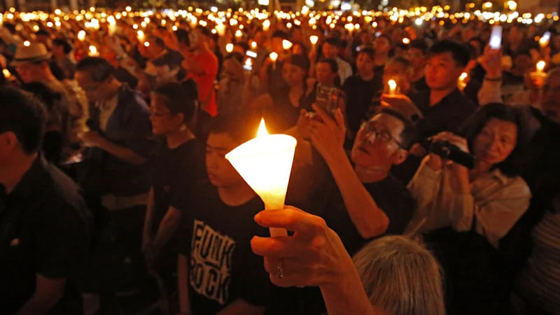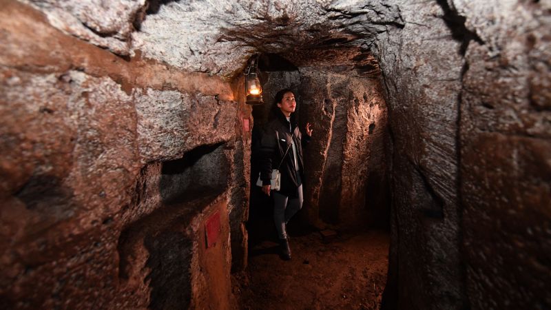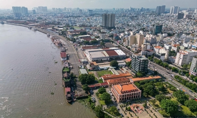
The site is Le Thi Rieng Park, an eight-hectare green space in Hoa Hung Ward built in 1983 over the former Do Thanh Cemetery, also known as the Chi Hoa-Cho Quan Cemetery. That the city's wartime authorities buried large numbers of dead there after the 1968 fighting has long been local lore. What was never established, until now, was where the soldiers lay and how many.
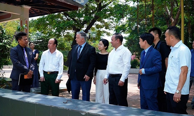
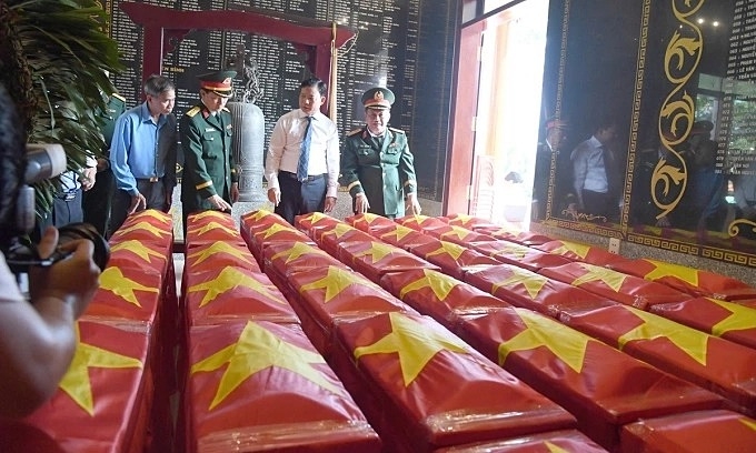
At a verification workshop on June 8, Colonel Bui Yen Tinh, deputy head of the Operations Department under the General Staff of the Vietnam People's Army, said the evidence pointed to three burial trenches of between 500 and 1,200 sq.m, lying behind the park's traditional house between a children's playground and a fishing lake. Together with declassified files, he said, they could hold about 900 soldiers. Teams plan to probe the best-documented trench, roughly 500 sq.m, before widening the search.
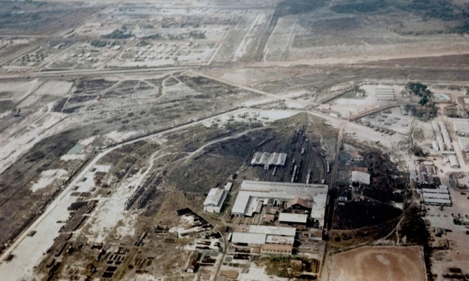
The breakthrough came from architect Nguyen Xuan Thang, who has helped locate martyrs' graves before using aerial imagery. Over eight years his team tracked down three photographs of a mass burial, then fixed their position by layering declassified U.S. reconnaissance satellite images from 1968 to 1972, archived by the U.S. Geological Survey, against French military aerial photos from 1951, commercial satellite imagery from Maxar and Airbus, and a run of old Saigon city maps. A water tower and rows of two-story houses in the neighboring Bac Hai quarter served as fixed reference points, narrowing the moment the photographs were taken to between 8 and 10 a.m. on Feb. 12, 1968.