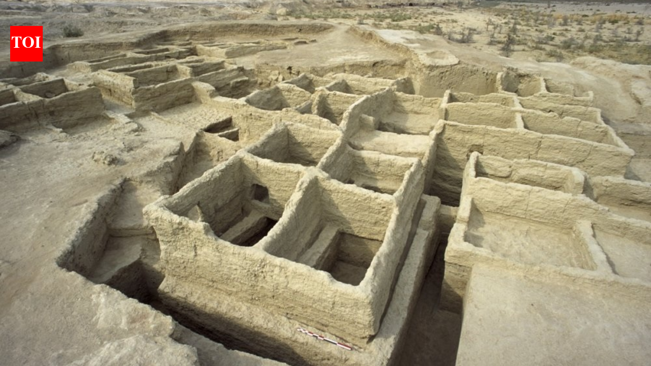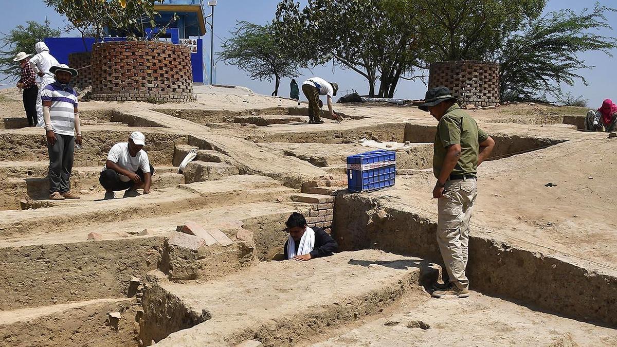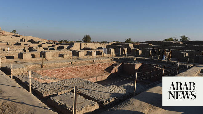
With the Harappan Civilisation trending on social media throughout the last week of May, a familiar set of arguments resurfaced. What began as a conversation about a seal excavated at Mohenjo-Daro soon developed into a wider debate about who gets to define India’s archaeological past and what constitutes legitimate archaeological interpretation. The arguments ranged from iconography to nomenclature. However, when the discussion turned to the spatial distribution of the Harappan sites, it often stopped at the size of the settlements. The debate quickly became an Indus versus Saraswati contest, with one side arguing that all major urban centres were located along the Indus and the other pointing to sites such as Rakhigarhi as a counter.
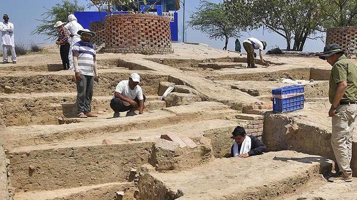
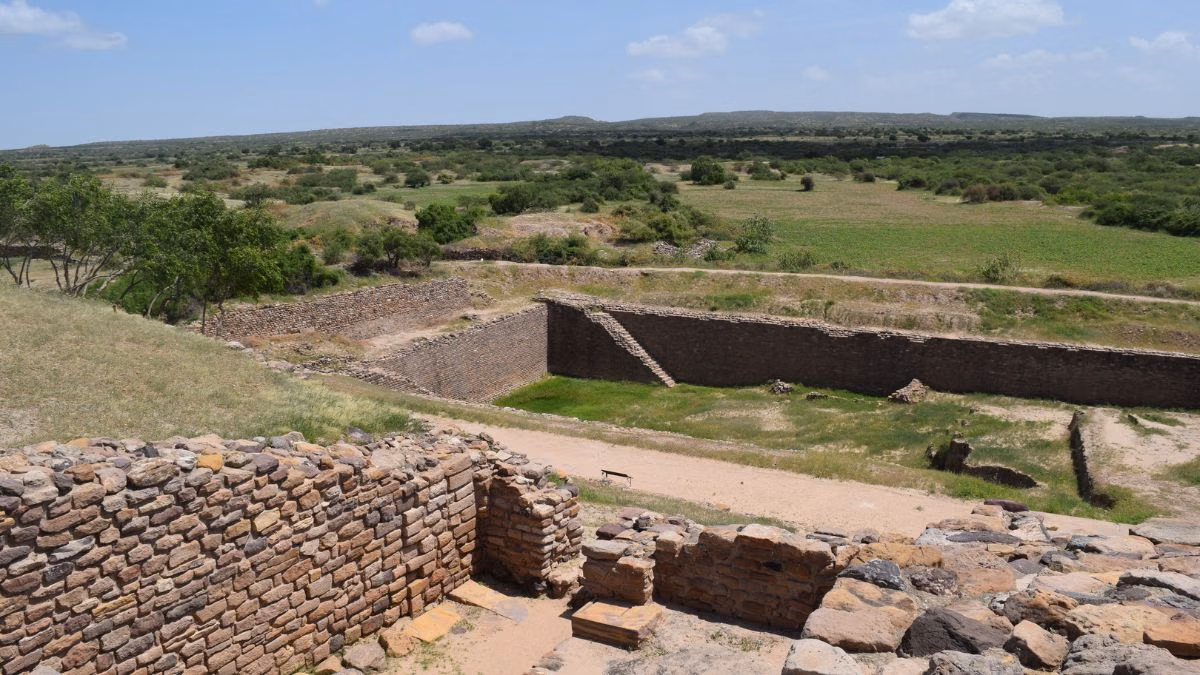
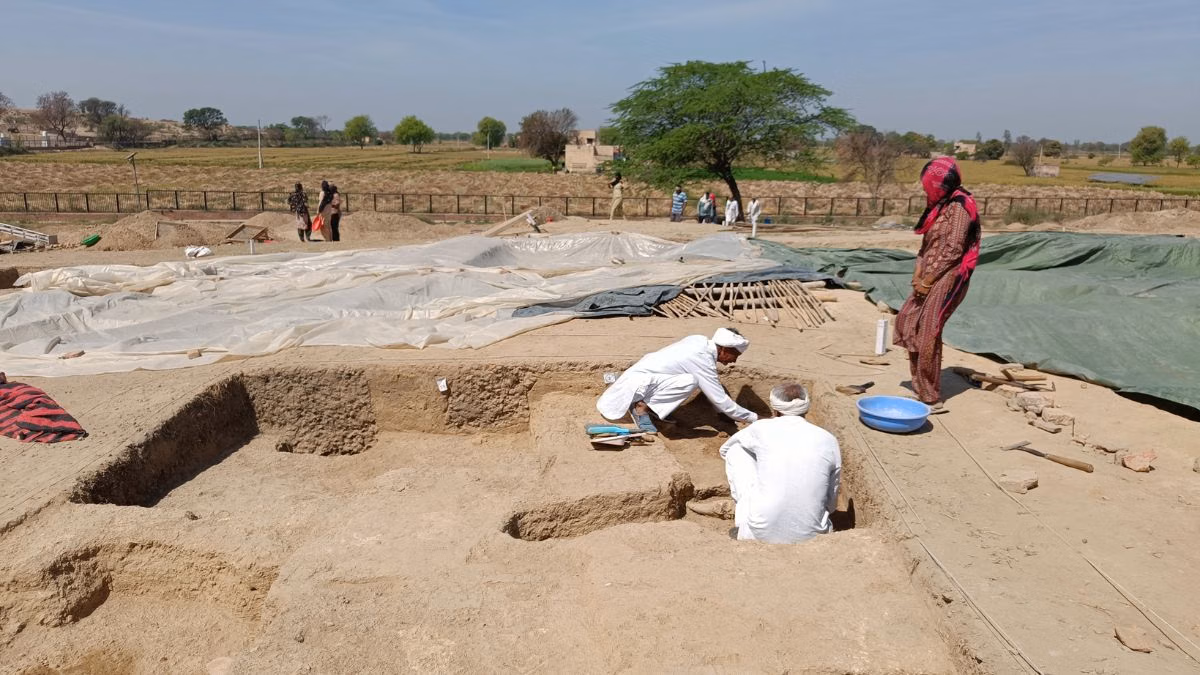
Yet, these debates missed a more fundamental archaeological question: what makes a settlement a city? And how do cities evolve with time? The significance of Harappan urbanism cannot be reduced to identifying the largest sites or claiming the earliest settlements. Archaeological evidence points to a complex network of settlements: some were big, while a majority were small rural settlements that developed over centuries. These settlements were linked through trade, resources, traditions, and shared inheritance.However, the overall evolution of Harappan traditions as reflected in urban centres such as Rakhigarhi, Harappa, and Mohenjo-Daro, was often presented through oversimplification, a result of selective readings of archaeological evidence. It is not easy to interpret archaeological data, especially as the context is either lost or misunderstood. But the interpretation is neither black nor white but exists in shades of grey, constantly refined through new discoveries and fresh analysis