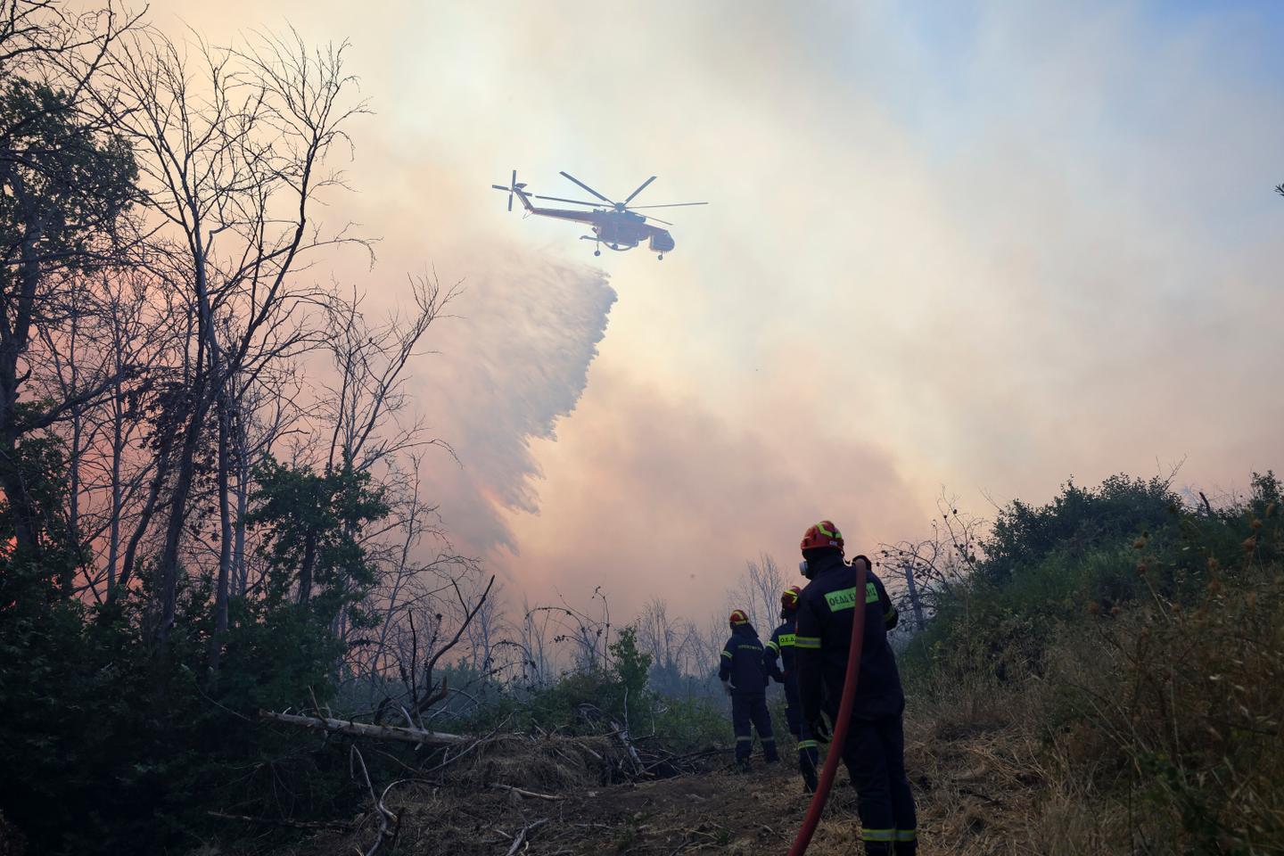
Athens’ National Observatory has upgraded FireHUB, a fire prevention, management and monitoring system that helps authorities detect and track wildfires and predict how they will develop in real time.
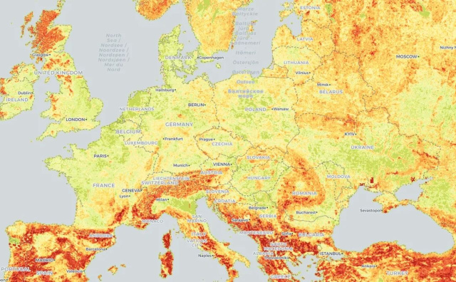
Developed by the Observatory’s Beyond unit and used by the Fire Service Operations Center since 2016, the system combines meteorological data, satellite imagery and historical records to assess daily wildfire risk at a 500-meter resolution.
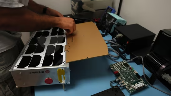
“The system is based on images captured every five minutes,” said Haris Kontoes, research director at the National Observatory and scientific lead of Beyond.
FireHUB can identify fires early, share information immediately with firefighters, monitor fire progression at 350-meter resolution, estimate where a blaze started and forecast its spread.
Following a recent upgrade under the European research project MEDEWSA, it can also recommend where standby firefighting forces should be positioned for faster response. According to Kontoes, the system’s margin of error is small; missed detections typically occur when cloud cover intervenes.