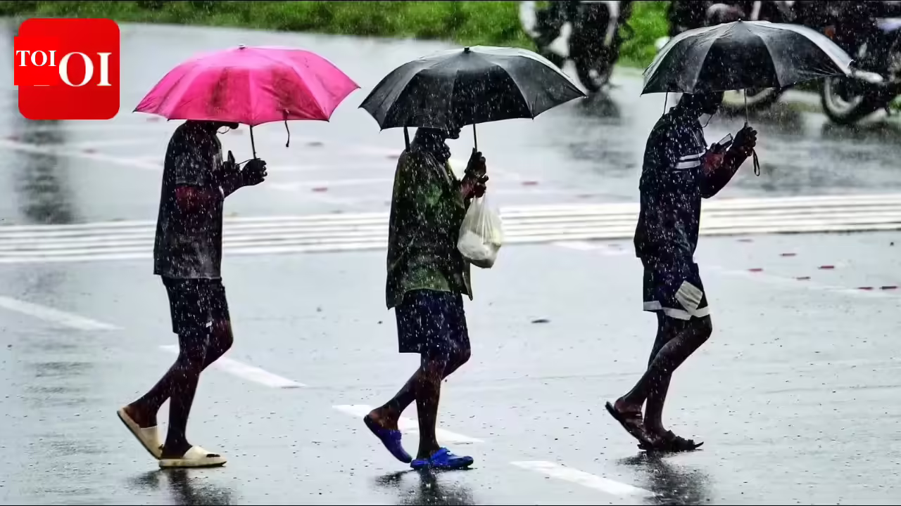
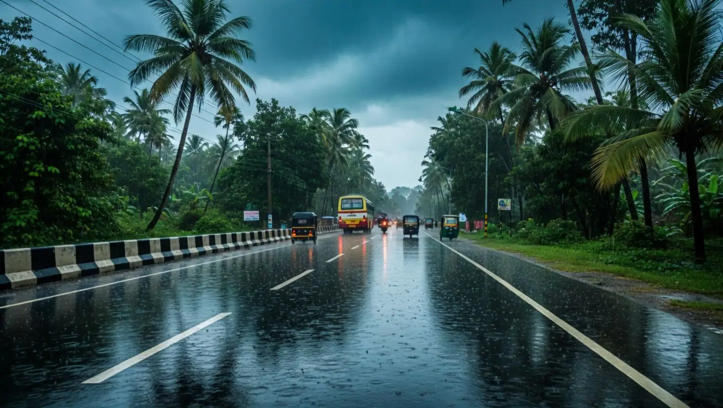
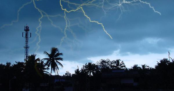
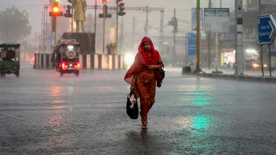
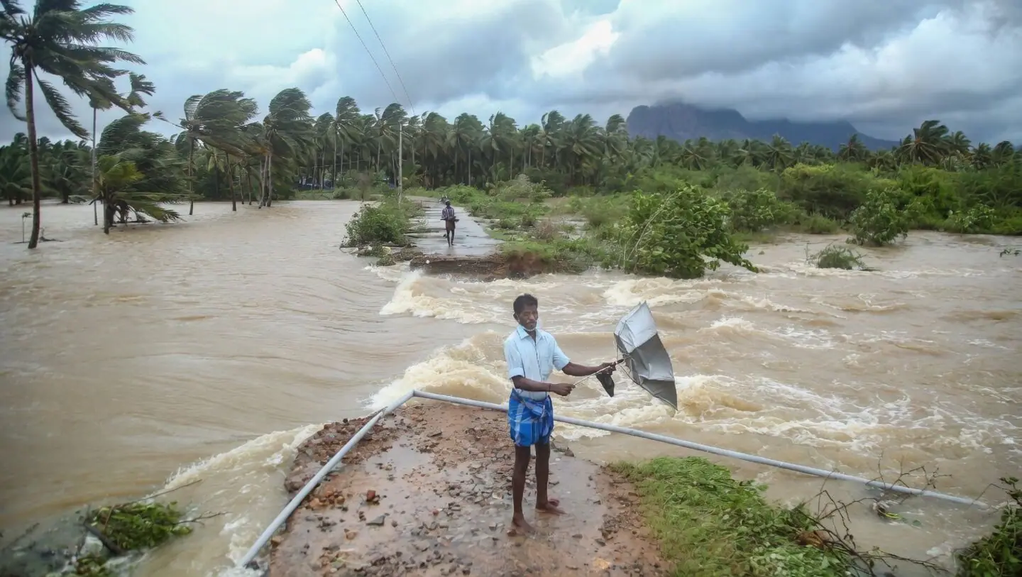
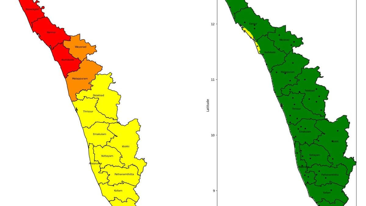
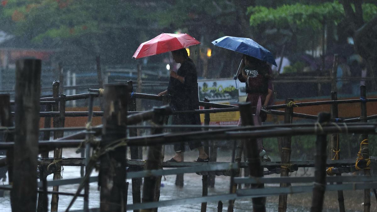
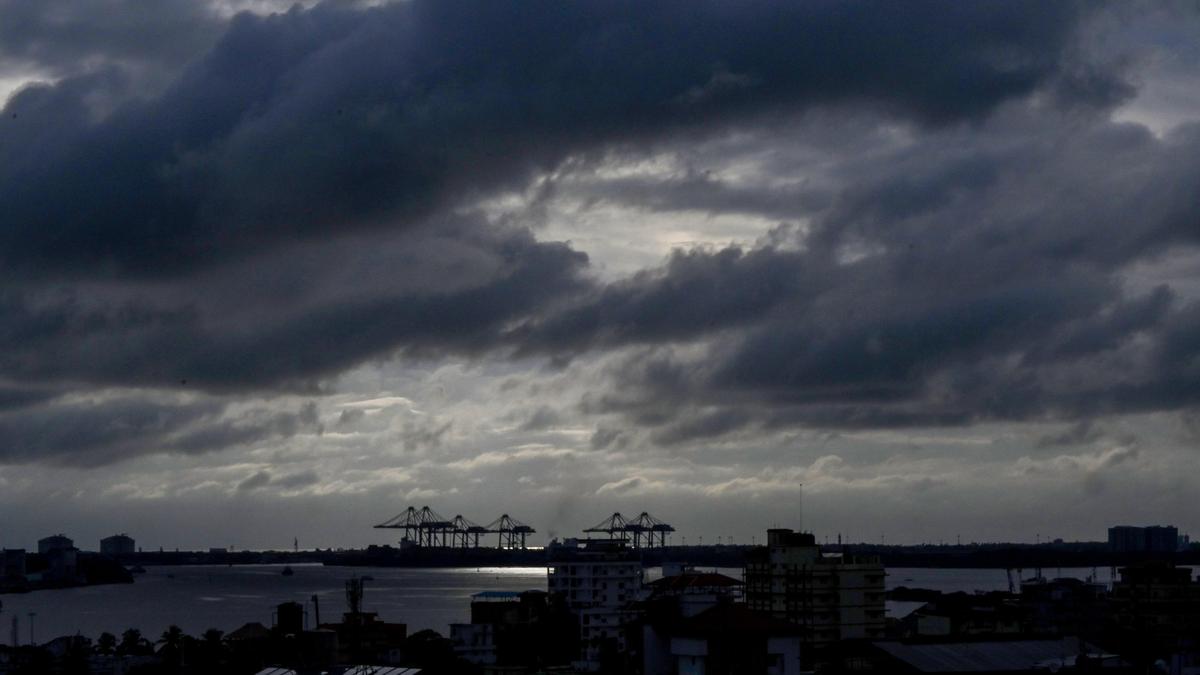
The southwest monsoon that set in over Kerala after a delay of around three days after the normal onset date on June 1 has begun on a stormy note, with parts of Kerala, especially central Kerala, receiving some intense spells of rain powered by a combination of weather systems, including multiple cyclonic circulations and a trough that runs from Marathwada to the Southwest Arabian Sea across Konkan and Goa.However, the monsoon flow is likely to be weak during the remaining part of June after an initial surge as per the climate model of various agencies. The India Meteorological Department (IMD) has issued an orange alert for eight districts from Ernakulam to Kasaragod on Friday, warning of very heavy rains, and the rest of Kerala has been put on a yellow alert where isolated heavy rains are likely.On Saturday as well, an orange alert has been issued across the State except in Thiruvananthapuram, Kollam, and Alappuzha, where a yellow alert has been issued. The intense spell of rain is likely to continue until the first of the next week, and there will be a reduction in rainfall activity from next week, according to the latest update.Highest rainfallMeanwhile, Palluruthy in Ernakulam recorded the highest rainfall of 9 cm during the 24 hours ending at 8.30 a.m. on Thursday, followed by Kochi, Cherthala in Alappuzha, and Mattanchery in Ernakulam with 8 cm each, and Kottayam and Vaikom in Kottayam with 7 cm each. Fishermen are advised not to venture into the sea off the coast of Kerala, Karnataka, and the Lakshadweep area as squally weather is forecast with wind speeds of 40-50 km/h and gusting to 60 km/h along and off the Kerala and Karnataka coasts and over the Lakshadweep area. Published - June 04, 2026 09:58 pm IST
Southwest monsoon begins on a stormy note, to be sluggish after initial surge
Southwest monsoon arrives in Kerala with heavy rains and orange alerts, but will weaken after initial surge.
296 words~1 min read