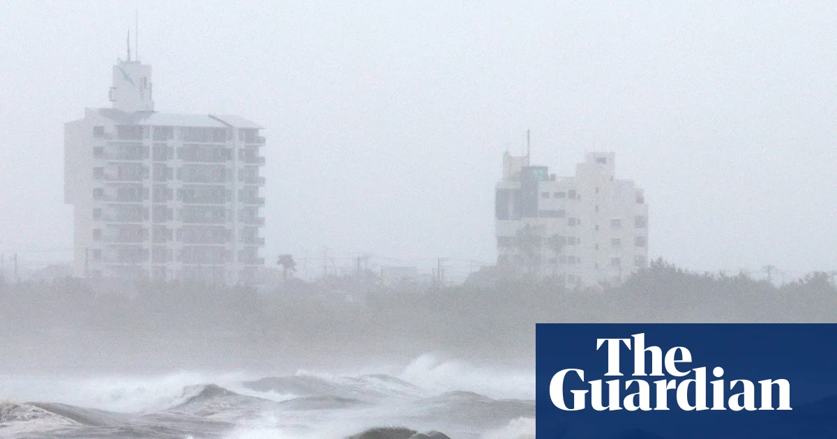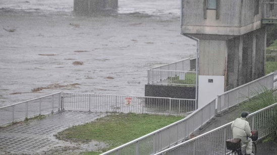
A large, slow-moving storm system tracked north-northwest across the Philippine Sea toward southern Japan from late May into early June 2026. As Typhoon Jangmi advanced, its sprawling rainbands delivered intense rainfall across a broad area, prompting concerns about flooding in several locations.
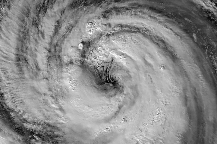
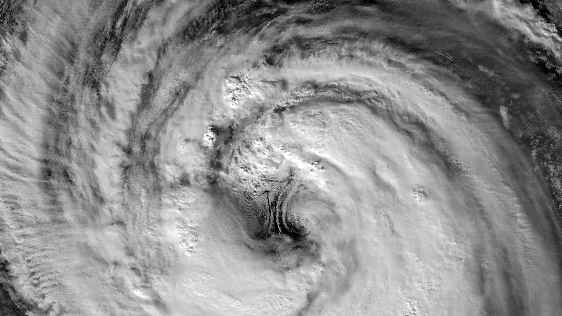
A nighttime image captured by the VIIRS (Visible Infrared Imaging Radiometer Suite) instrument aboard the Suomi NPP satellite shows the storm on May 30 at about 16:40 Universal Time (1:40 a.m. Japan Standard Time on May 31). At that time, the Joint Typhoon Warning Center (JTWC) reported sustained winds of 120 kilometers (75 miles) per hour based on 1-minute averages. That wind speed is comparable to a Category 1 hurricane on the Saffir-Simpson hurricane wind scale.
Giant Eye Visible in Nighttime Satellite Image
The satellite view provides a remarkably clear look at Jangmi's eye and surrounding eyewall. According to Scott Braun, a research meteorologist at NASA's Goddard Space Flight Center, the eye was relatively large compared with many tropical cyclones.
The image also appears to show low-level circulation along the eastern side of the eye. Those rotating features, known as mesocyclones, are partially hidden beneath higher clouds. Braun noted that while the structures are visually impressive, they are considered normal features within storms of this type.