2 min readImage of the Day for June 3, 2026The sprawling storm promised to deliver torrential rain across a wide swath of southern Japan. NASA Earth ObservatoryJun 03, 2026 Article
View more Images of the Day:
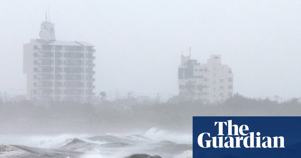
From late May into early June 2026, a broad, slow-spinning storm churned north-northwest over the Philippine Sea toward southern Japan. Typhoon Jangmi’s rainbands unleashed torrential rainfall across a vast swath of the region, triggering flooding concerns in several areas.
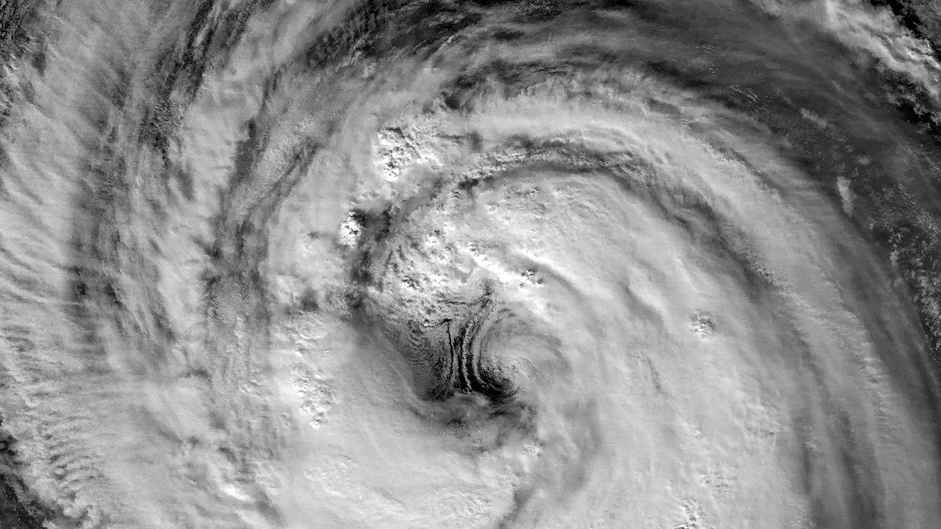
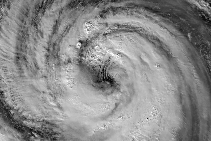
The VIIRS (Visible Infrared Imaging Radiometer Suite) on the Suomi NPP satellite captured this nighttime image (above) of the storm at about 16:40 Universal Time on May 30 (1:40 a.m. Japan Standard Time on May 31). Around that time, the typhoon produced sustained winds of 120 kilometers (75 miles) per hour, based on 1-minute averages reported by the Joint Typhoon Warning Center (JTWC). That’s equivalent to a category 1 storm on the Saffir-Simpson hurricane wind scale.
The image shows a detailed view of the eyewall and eye, with a diameter that is on the larger end of the spectrum, according to Scott Braun, a research meteorologist at NASA’s Goddard Space Flight Center. There also appears to be some low-level rotation on the eastern side of the eye, producing features known as “mesocyclones” that are partially obscured by high-level clouds. Though they appear striking, the features are fairly typical, Braun noted.