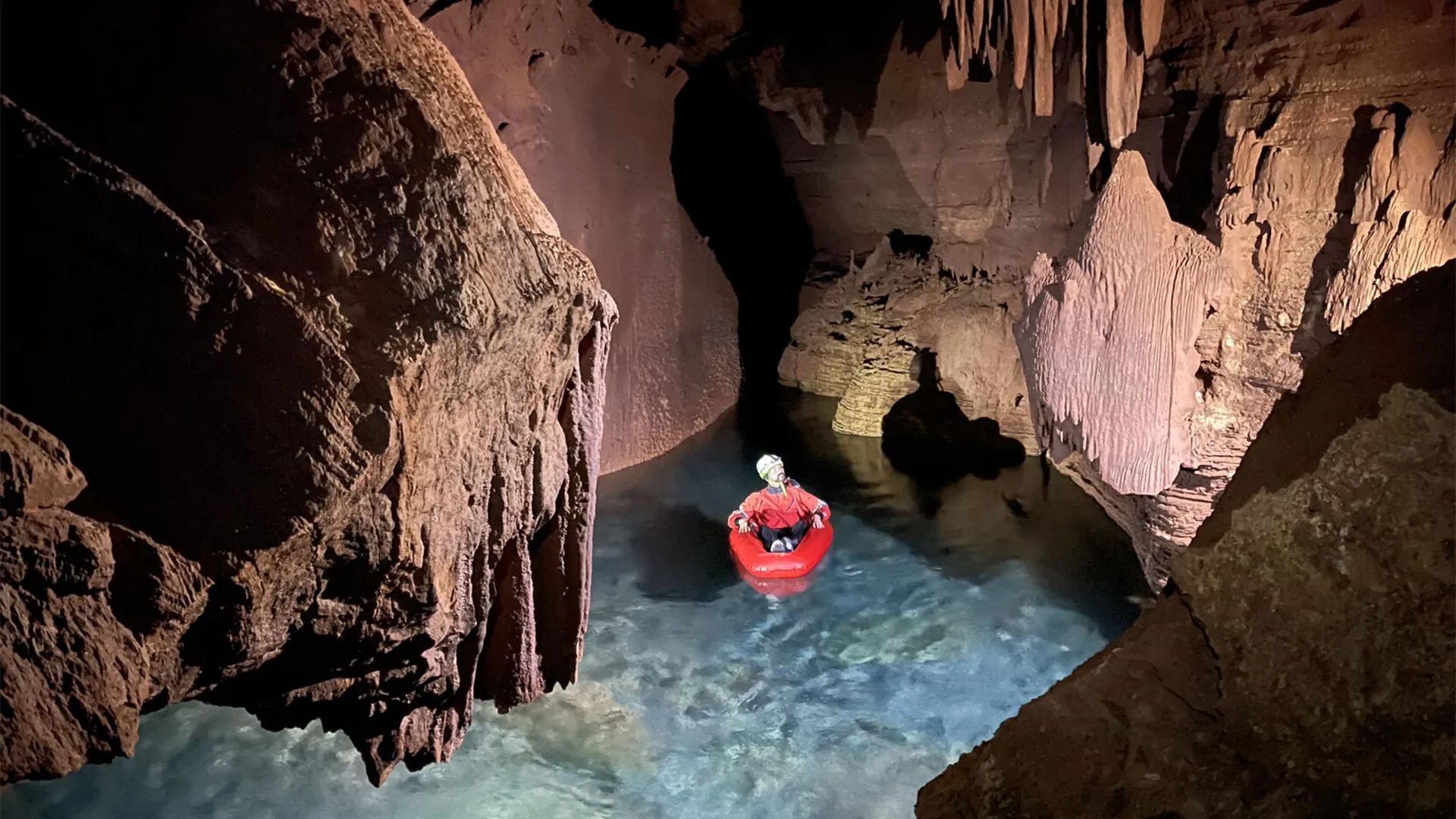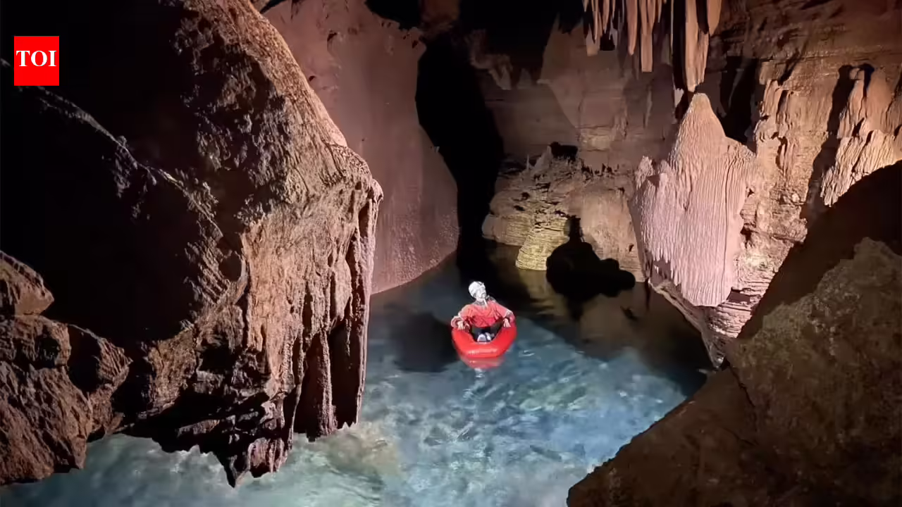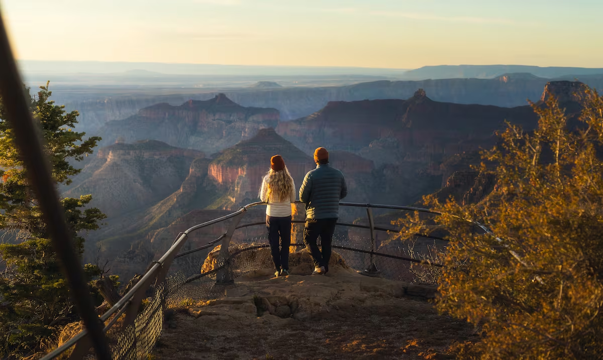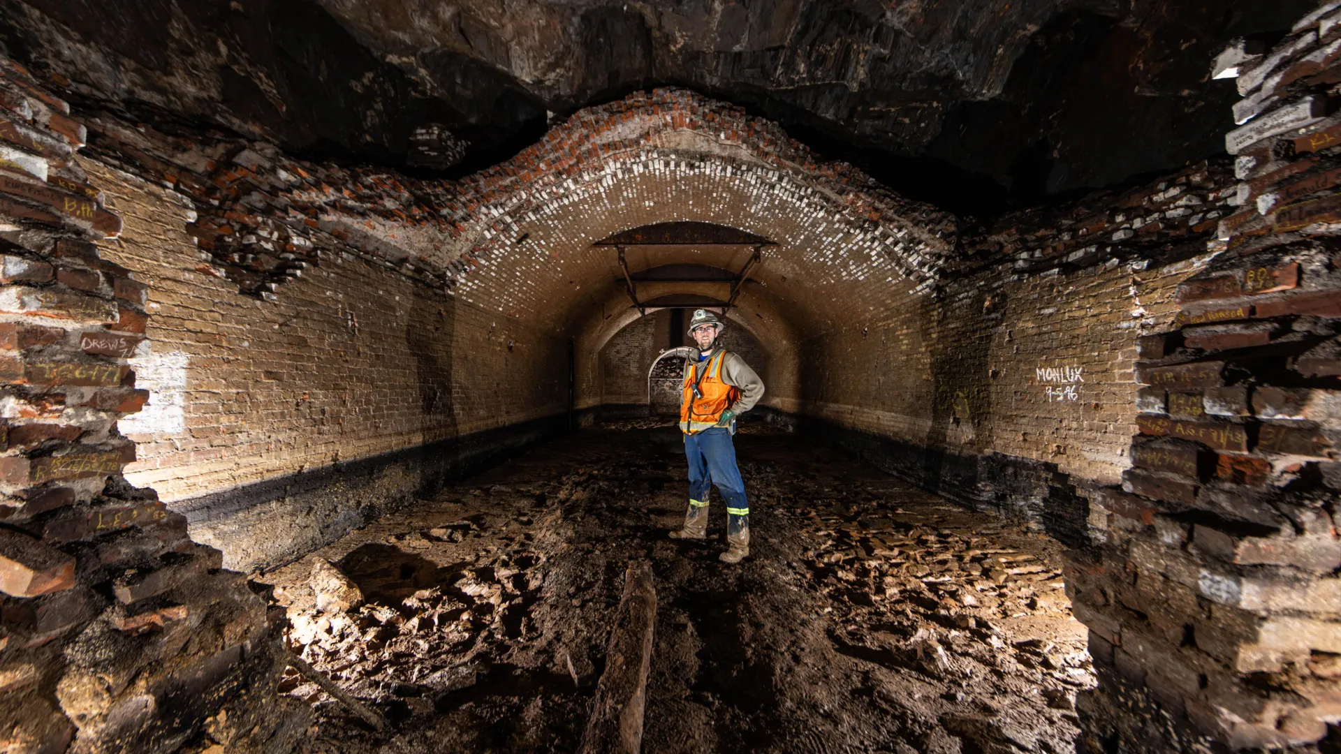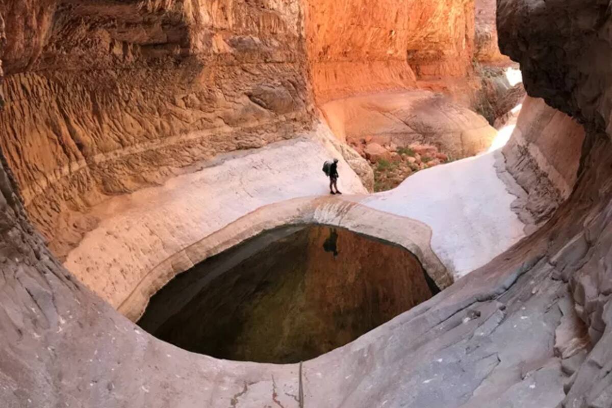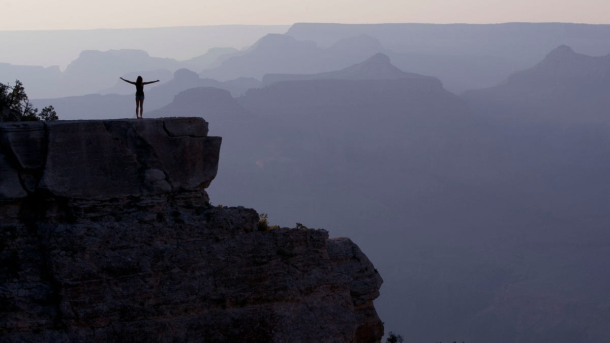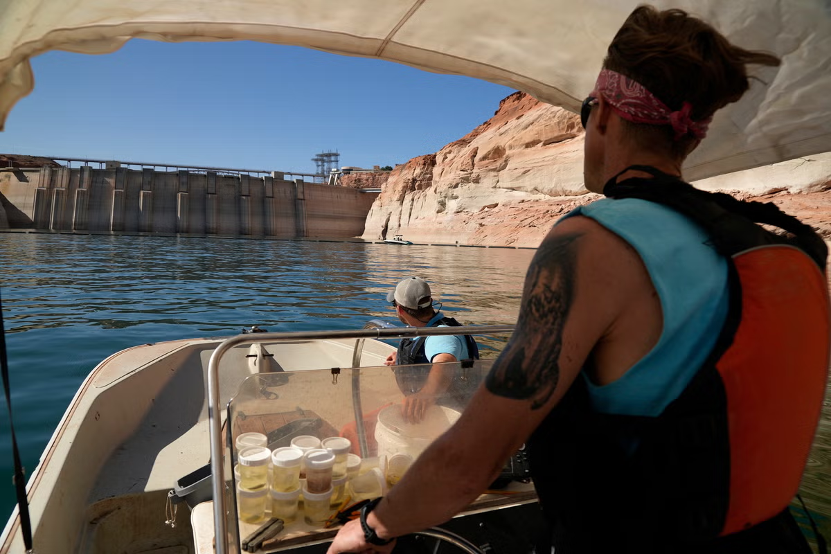
Millions of visitors pass through Grand Canyon National Park every year, but few realize that much of the park's water depends on a hidden world beneath their feet. From hikers battling extreme heat deep inside the canyon to visitors filling water bottles along the rim, many rely on a single source that remains largely out of sight.That source is Roaring Springs, a cave-fed spring on the North Rim. As climate conditions become warmer and drier, scientists are working to better understand the underground pathways that supply this critical water system and sustain the ecosystems that depend on it.Roaring Springs plays a vital role in Grand Canyon National Park. The spring supplies water for visitors, wildlife, plants, and ecosystems throughout the area. Although hikers on the North Kaibab Trail can hear and occasionally see the spring, much of its underground network remains hidden from view, as per a report by Science Daily.Researchers from Northern Arizona University's School of Informatics, Computing, and Cyber Systems are now working to uncover how these underground water systems function. Supported by a grant from Grand Canyon National Park, the team hopes to better understand how snowmelt connects to cave-fed springs and how water travels beneath the landscape.How does Roaring Springs supply the canyon?You Might Also Like:According to researchers, the simplest explanation is that much of the water originates from snowmelt on the Kaibab Plateau. The challenge is understanding exactly how that water moves through layers of rock before emerging at springs such as Roaring Springs, as per a report by Science Daily."Understanding where the water sinks is critical for the infrastructure, the animals, the plants and the rest of the ecosystems that rely on these springs," said Blase LaSala, a Ph.D. student in ecoinformatics. "They're like oases."Previous dye-tracing studies conducted by the park demonstrated just how quickly water can travel underground. In some cases, dye poured into sinkholes on the plateau moved nearly 20 kilometers and appeared at springs within about a week.You Might Also Like:What did scientists discover underground?To investigate these systems, LaSala and professor Temuulen "Teki" Sankey used mobile lidar technology to create detailed three-dimensional maps of several cave systems.Over a period of 45 days, researchers, volunteers, and park staff documented more than 10 kilometers of underground passages and chambers. The work required carrying equipment packs weighing up to 55 pounds to remote cave entrances, sometimes involving hikes lasting two days.Inside the caves, teams climbed, crawled, rappelled, and floated through flooded sections while recording cave structures and geological features."I had no idea how large and long these caves are," Sankey said. "We have been able to produce really high-resolution 3D maps, which, from a remote sensing perspective, is what's unique and novel about it. Grand Canyon's caves have never been mapped in 3D like this."The resulting models provide scientists with valuable information about how water moves through fractures, faults, and underground channels beneath the canyon, as per a report by Science Daily."It's like looking at a black box," LaSala added. "You see what comes in and what comes out, but it's very hard to quantify what's going on in there. Now that we know what patterns are there, we can really start to relate the data to spring change over time."Why does this research matter?The importance of the project extends beyond scientific curiosity. Researchers say understanding underground pathways is essential for protecting water quality.The Grand Canyon's major springs are fed through karst systems, which Sankey compared to "Swiss cheese" because of the numerous openings and channels within the rock. While these pathways allow water to move rapidly, they can also allow contaminants to travel quickly through the system.Runoff from wildfire burn areas or bacteria such as E. coli could potentially enter connected sinkholes and reach the park's water supply. By identifying where water enters and how it moves underground, scientists hope to help park managers better monitor and protect these resources, as per a report by Science Daily.The next phase of research is scheduled to begin in early 2026. Using airborne lidar surveys and decades of satellite observations, researchers plan to map sinkholes throughout the region while studying patterns of snow accumulation and snowmelt over the past 40 years.The project may benefit far more than the Grand Canyon. More than one billion people worldwide rely on water supplied by karst springs. Researchers believe the knowledge gained here could help improve water management efforts in many regions facing similar challenges."It's exciting to find patterns that verify the hypotheses made over 50 years ago," LaSala said. "We have all this amazing data now, and we're trying to combine it with other data to find useful things. There are so many places that could benefit from this type of analysis."Researchers also expect the Dragon Bravo Fire to influence future observations. Rather than viewing it as a setback, the team plans to incorporate those changes into its ongoing work."It's a new twist to our study," Sankey said.As scientists continue exploring the canyon's hidden underground network, each new discovery is helping reveal how one of America's most iconic landscapes stays alive.FAQsQ: Where does much of the Grand Canyon's water come from?A: A cave-fed spring known as Roaring Springs on the North Rim.Q: Why are scientists studying these caves?A: To understand how water moves underground and protect the region's water supply.
Where does the Grand Canyon's water really come from? Scientists explore hidden caves
Researchers are mapping the Grand Canyon's hidden cave systems to understand how Roaring Springs, a vital water source, functions. This project investigates the connection between snowmelt and these cave-fed springs, crucial for the park's ecosystems and visitor safety. Findings will inform water management globally.
TL;DRAI
Northern Arizona researchers mapped 10+ km of caves with 3D lidar, revealing snowmelt flow through Grand Canyon karst systems. The work protects water infrastructure from contamination and informs management for 1 billion karst spring users globally.
881 words~4 min read