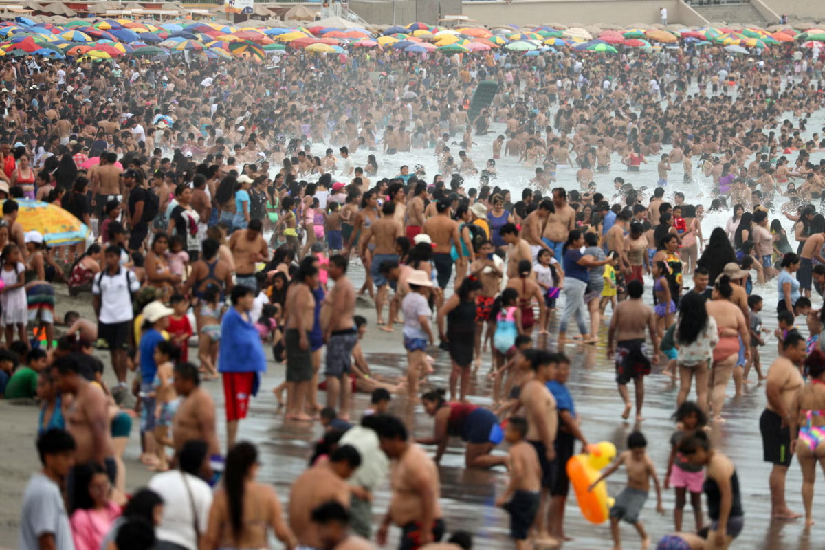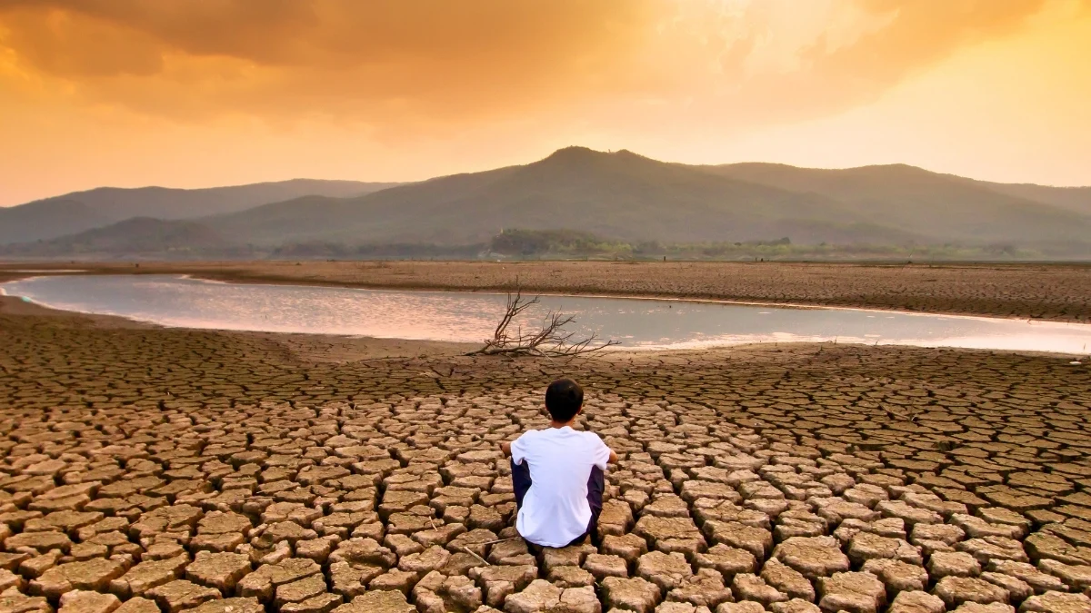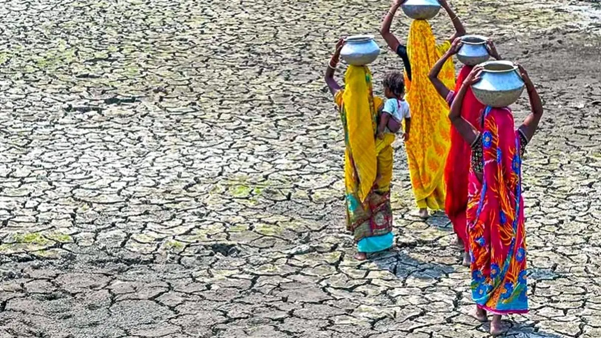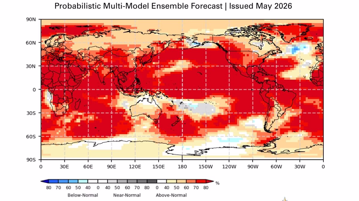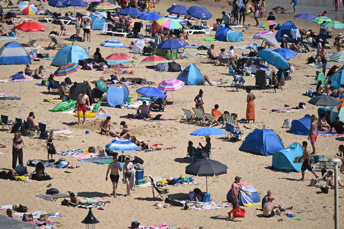
A warming "El Nino" weather event is now 80 per cent likely this summer, World Meteorological Organisation (WMO) scientists report. The UN body warns countries to prepare for the phenomenon, which warms tropical Pacific sea surface temperatures, pushing up global temperatures, compounding human-driven climate change and triggering even more extreme weather.Forecast models indicate the event is likely between June and August 2026, with probabilities of it continuing until at least November near or above 90 per cent.The UN urges treating this as "an urgent climate warning," as the world already faces severe weather impacts from fossil fuel pollution. While its peak strength and timing remain uncertain, models suggest it will be at least moderate and possibly strong.It comes after the last El Nino event contributed to soaring temperatures that saw 2024 become the warmest year on record.Bathers enjoy a summer day due to the high temperatures at Agua Dulce beach in the Chorrillos district, Lima, Peru (Reuters)The world’s average temperature also exceeded the key climate threshold of 1.5C above the 1850-1900 average for the first time that year.If the climate phenomenon occurs this year, it will increase the chances of 2027 becoming the next record-breaking year, UN scientists have warned.In a video statement on Tuesday, UN secretary-general Antonio Guterres said: “The science is clear: El Nino is arriving on our doorstep in the coming months with 90% certainty.“The world must treat it as the urgent climate warning it is.“El Nino conditions will pour fuel on the fire of a warming world. Impacts will hit even harder, travel even farther and cross borders with devastating speed.“The only effective response is climate action equal to the crisis – ending the addiction to fossil fuels, accelerating the shift to renewables, protecting the most vulnerable and delivering early warning systems for all.”Sea-surface temperature in the central-eastern Equatorial Pacific – the area used as a monitoring reference – was approaching El Nino thresholds in late April to mid-May, according to observations from different platforms used by WMO.The scientists say these increasing surface anomalies are being fed by unusually warm subsurface conditions across the tropical Pacific, with temperatures exceeding 6C above average and providing a substantial reservoir of heat.The UN body warns countries to prepare for the phenomenon, which warms tropical Pacific sea surface temperatures, pushing up global temperatures, compounding human-driven climate change and triggering even more extreme weather (AFP/Getty)Another climate model that focuses on atmospheric conditions is also consistent with developing El Nino conditions.WMO secretary-general Celeste Saulo said: “We need to prepare for a potentially strong El Nino event, which will exacerbate drought and heavy rainfall, and increase the risk of heatwaves both on land and in the ocean.“The most recent El Nino, in 2023-24, was one of the five strongest on record and it played a role in the record global temperatures we saw in 2024.“The WMO community will be carefully monitoring conditions in the coming months to inform decision-making by governments, humanitarian agencies and climate-sensitive sectors.“Advance seasonal forecasts and early warnings are vital to save lives and cushion the impact on our economies and our communities.”The WMO said its updates are based on a consensus of models from its global producing centres, experts from national meteorological and hydrological services, and climate prediction centres around the world.Produced as a collaboration between the UN body and the International Research Institute for Climate and Society (IRI), the WMO said it is the most authoritative source of information for governments, humanitarian agencies and climate-sensitive sectors like agriculture, health, energy and water management.
El Nino set to fuel record global temperatures as UN issues urgent climate warning
An El Nino event this year is likely to take place between June and August 2026
585 words~3 min read