June 2, 2026 | 05:58 am
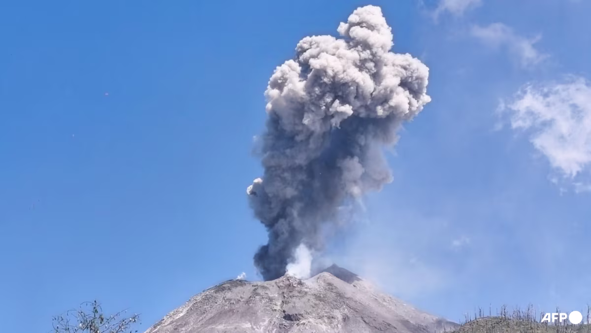
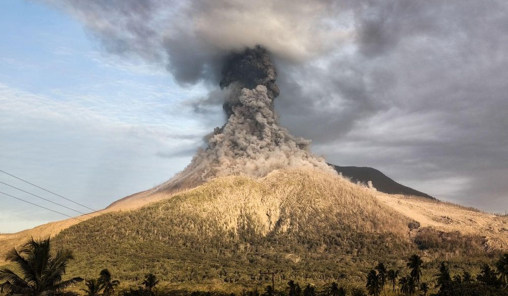
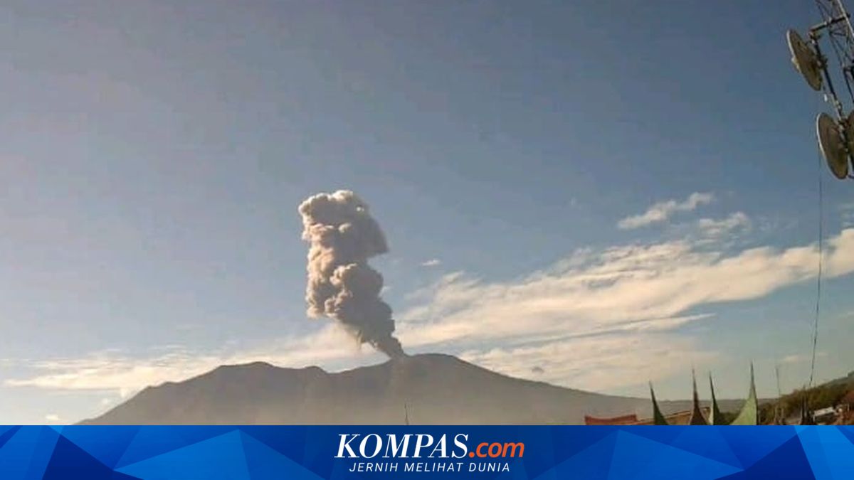
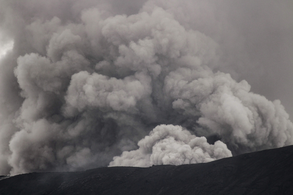
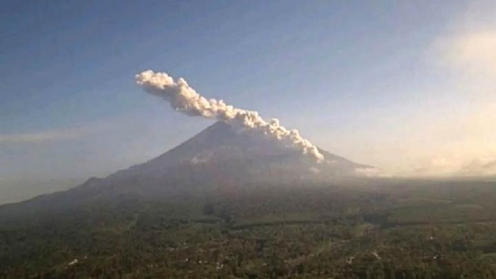
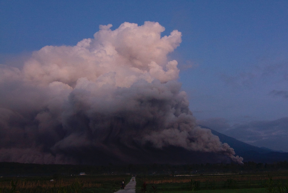
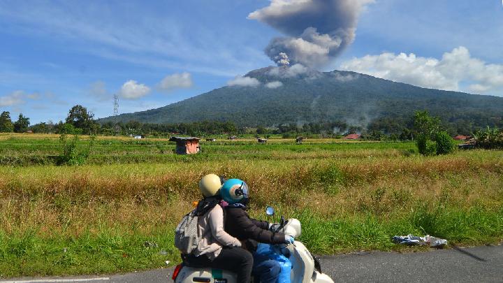
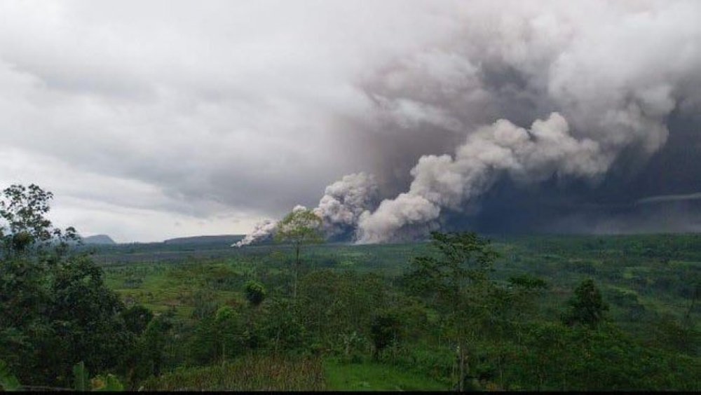
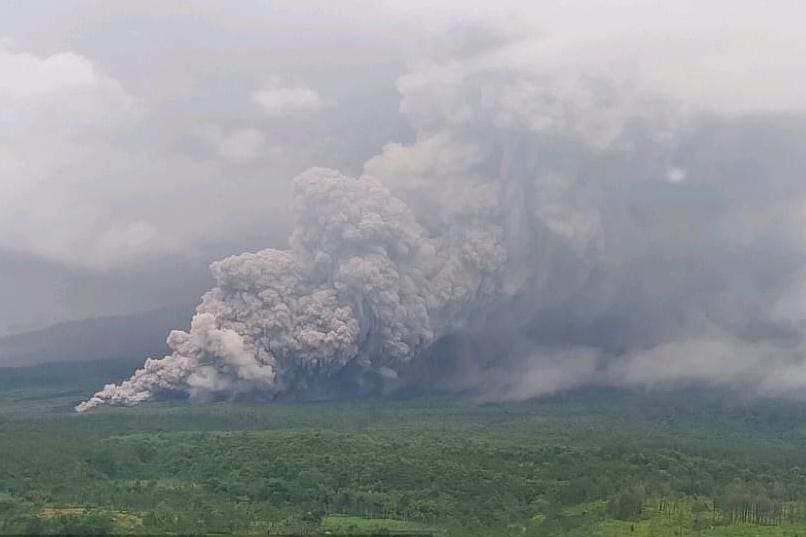
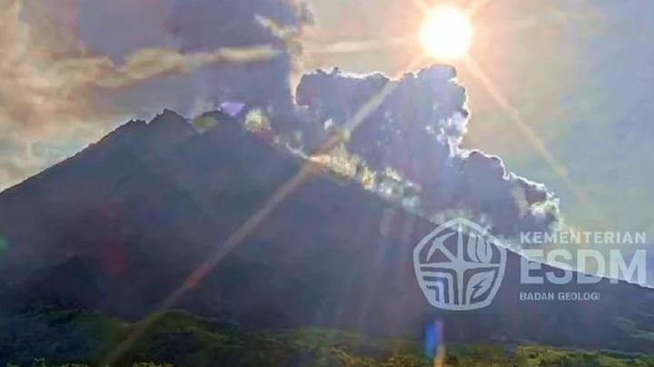
TEMPO.CO, Jakarta - Mount Merapi, located on the border of the Special Region of Yogyakarta and Central Java in Indonesia, has shown an increase in activity intensity over the last three days. Pyroclastic flows have occurred again today, Monday, June 1, 2026, even though there was no rain in the area, which usually triggers the volcano's eruption.From last Saturday until today, Mount Merapi has erupted at least four times, with pyroclastic flows reaching a distance of up to 1,000 meters towards the southwest.The Yogyakarta Center for Geological Disaster Research and Technology Development (BPPTKG) reported that the series of pyroclastic flow eruptions began with one incident on Saturday, May 30, 2026, at 07.05 AM local time. During the first eruption, the furthest distance of the pyroclastic flow was not detected due to thick fog around the peak area.However, it was recorded that the eruption had a maximum amplitude of 63 millimeters and lasted for 142.01 seconds. It is suspected that the flow distance was still around the peak area.The escalation continued with the second pyroclastic flow eruption on Sunday night, at 10.47 PM local time. Based on video recordings and seismic monitoring, the pyroclastic flow traveled as far as 1,000 meters towards the southwest, precisely entering the upstream area of the Krasak River.The second eruption was recorded on the Merapi monitoring post's seismogram with a maximum amplitude of 25.74 millimeters and a quake duration of 158 seconds.Mount Merapi's activity intensified further on Monday, with three additional pyroclastic flow eruptions detected at the observation post. The first incident on Monday occurred at 02.09 PM local time, with a maximum amplitude of 64.04 millimeters and a duration of 88.58 seconds. This was followed by another eruption at 03.14 PM with a maximum amplitude of 42 millimeters and a duration of 105.45 seconds."Mount Merapi's status remains at Level 3 or Alert," said Agus Budi Santoso, the Head of BPPTKG Yogyakarta, on Monday.Agus revealed that there has been no change in the safe distance or sectoral recommendations for potential dangers related to the activities over the last three days. "The potential dangers are still determined to be a maximum of 7 kilometers for the Bedog, Krasak, and Bebeng Rivers, and a maximum of 5 kilometers for the Boyong River in the southern-southwestern sector of Merapi," he said.Meanwhile, for the southeastern sector, the danger zone is determined to include a maximum of 3 kilometers for the Woro River and a maximum of 5 kilometers for the Gendol River.Read: Mount Merapi Releases Hot Clouds, Alert Status Remains in EffectClick here to get the latest news updates from Tempo on Google News