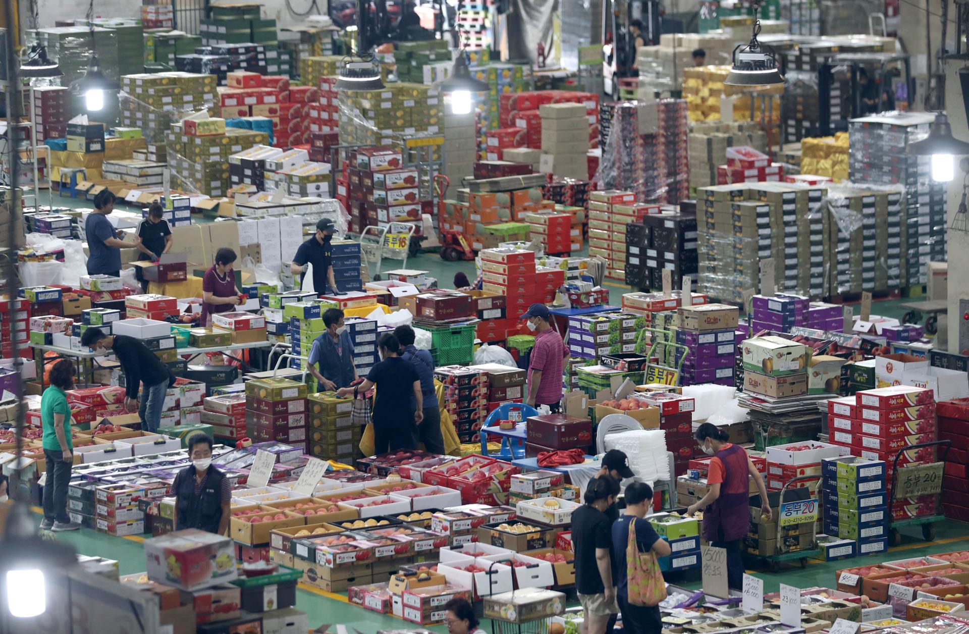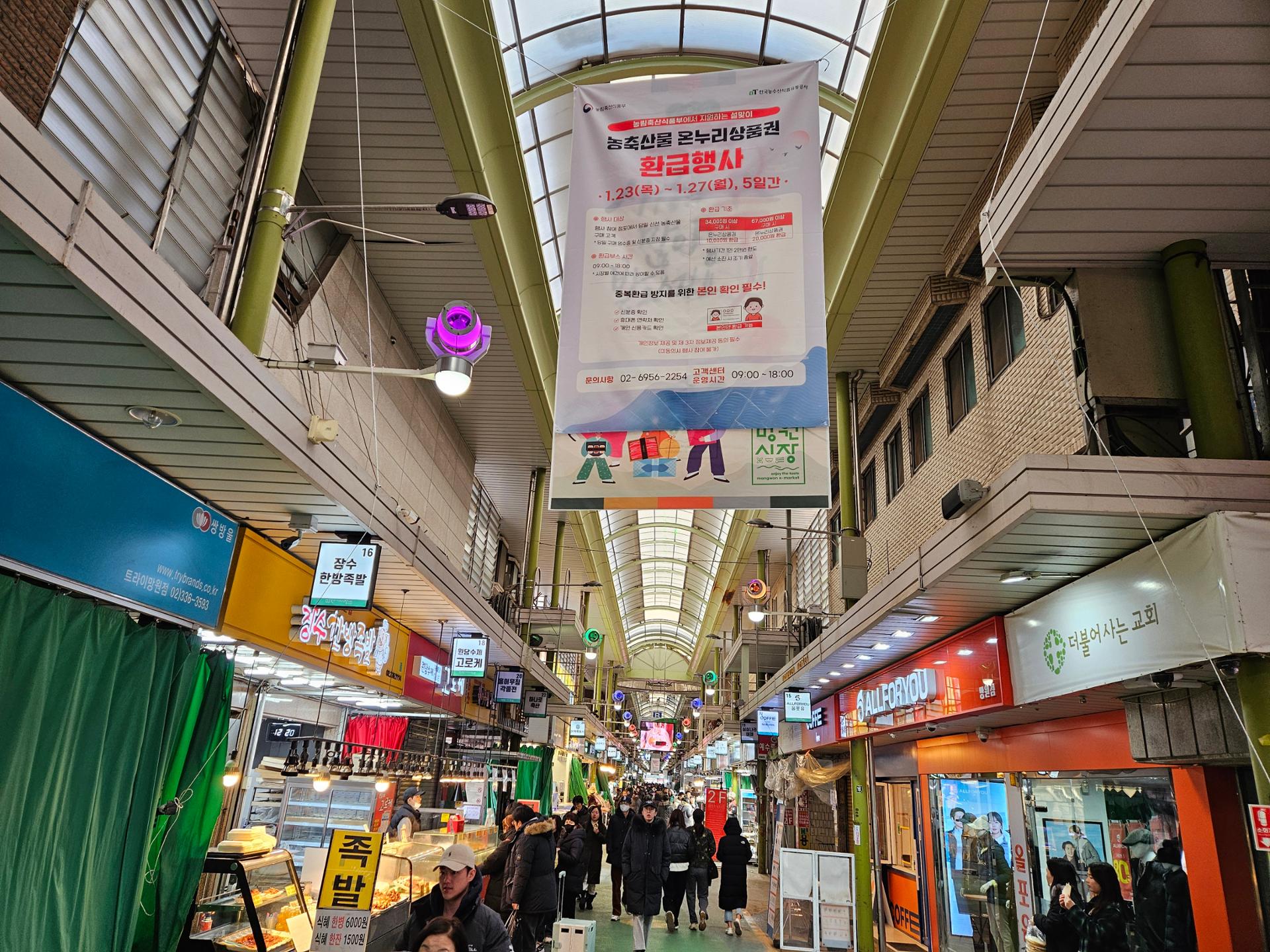
A traditional market in Mangwon-dong, Mapo District, western Seoul. Korea Times file
The Seoul Metropolitan Government said Monday that it is expanding its high-tech "3D spatial addressing" initiative to six major traditional markets across the capital, mapping out thousands stalls to improve navigation, logistics and emergency responses.
The ambitious project will convert a combined 200,000 square meters of notoriously complex market layouts into high-precision 3D digital data using cutting-edge technologies, including the Global Navigation Satellite System and LiDAR. Roughly 2,500 individual stalls across six key commercial hubs — including Donghwa Market, Guro Market, Mapo Agriculture & Marine Products Market and the Garak Mall sales building — will receive precise, institutionalized 3D addresses.
The digital upgrade aims to eliminate chronic navigation challenges in traditional shopping districts, which have historically relied on unofficial storefront numbers or vague, landmark-based directions. By integrating this newly generated spatial data directly into Korea’s premier navigation platforms — including TMAP, Naver Maps and Kakao Maps — visitors and delivery couriers will be able to access detailed routes. The system will guide them directly to specific stalls, optimized loading zones and nearby parking infrastructure, effectively preventing delivery vehicles from blocking narrow alleyways.