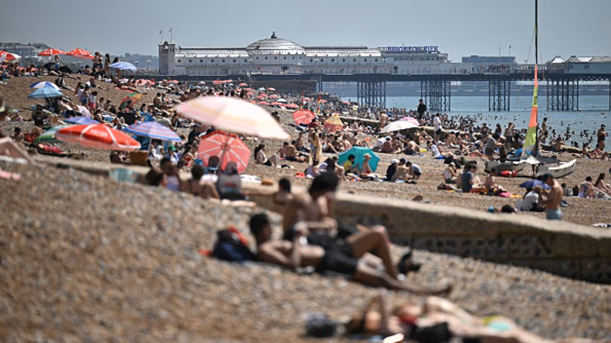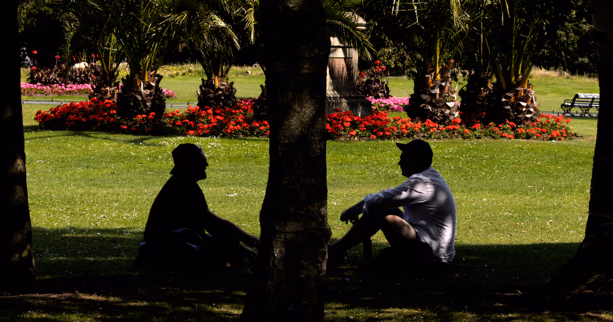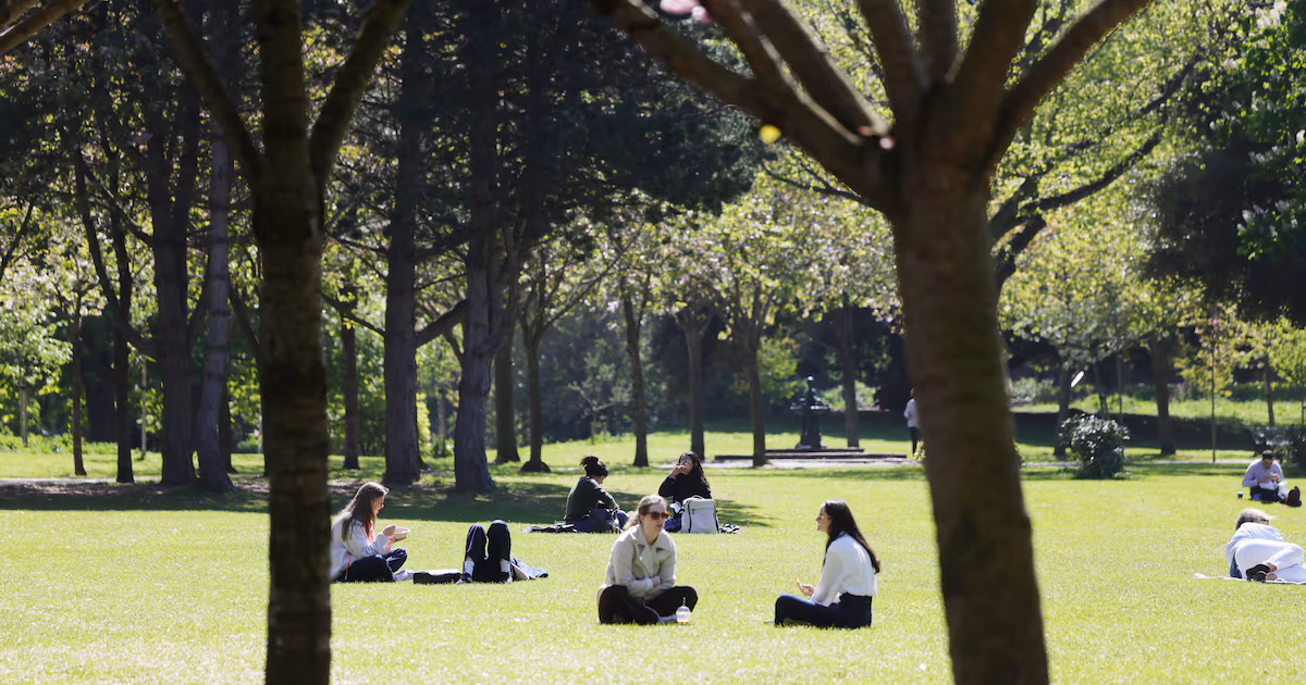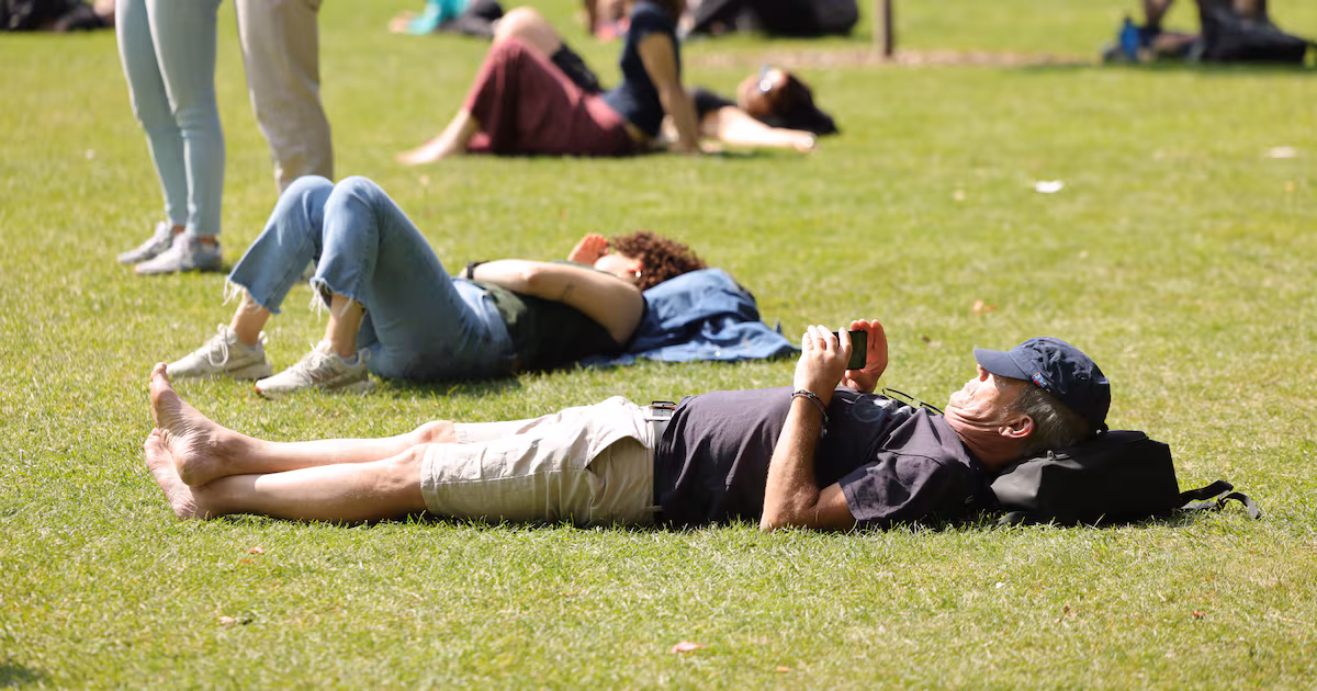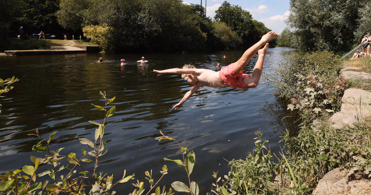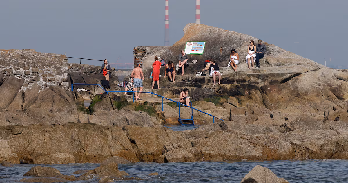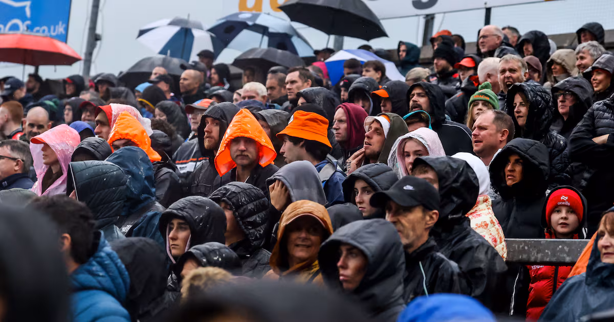
The sun may be in hiding this week but the second half of June is cautiously predicted to be brighter and warmer than normal, Met Éireann says. The forecaster’s extended-range outlook is for high pressure to dominate from the third week of the month, bringing drier conditions and higher temperatures than average for the time of year. A “very slack airflow” could cause fog or sea fog at times but it would also lead to the high pressure system hanging around for the fourth week and the warm, dry conditions continuing. Met Éireann always advises that the accuracy of forecasts diminishes beyond a few days but for those determined to look even farther ahead, it cites modelling from the EU’s Copernicus Climate Change Service (C3S). “The signal from the C3S seasonal models for Ireland during the JJA (June, July and August) period is for above average temperatures. Rainfall is likely to be below average during the period,” it says. Temperatures are signalled to be above average overall. “The likelihood of higher than normal temperatures is strongest in August,” it says. The rainfall forecast is “less certain” but there are signs rain will be below average, especially during June and August. That is unlikely to be the case for the next fortnight, however, as Met Éireann says westerly winds and a low pressure system are expected to bring rain to most places this week, with showers and longer spells of rain on most days. Temperatures will remain warm in most places from Monday to Wednesday before turning cooler on Thursday and into the weekend. A drier, brighter start to next week is forecast, with rain more unevenly spread around the country and western and northern areas expected to receive the heaviest falls.
Wet week ahead but second half of June to be warmer than usual, Met Éireann says
Weather to turn cooler from Thursday through to weekend
291 words~1 min read