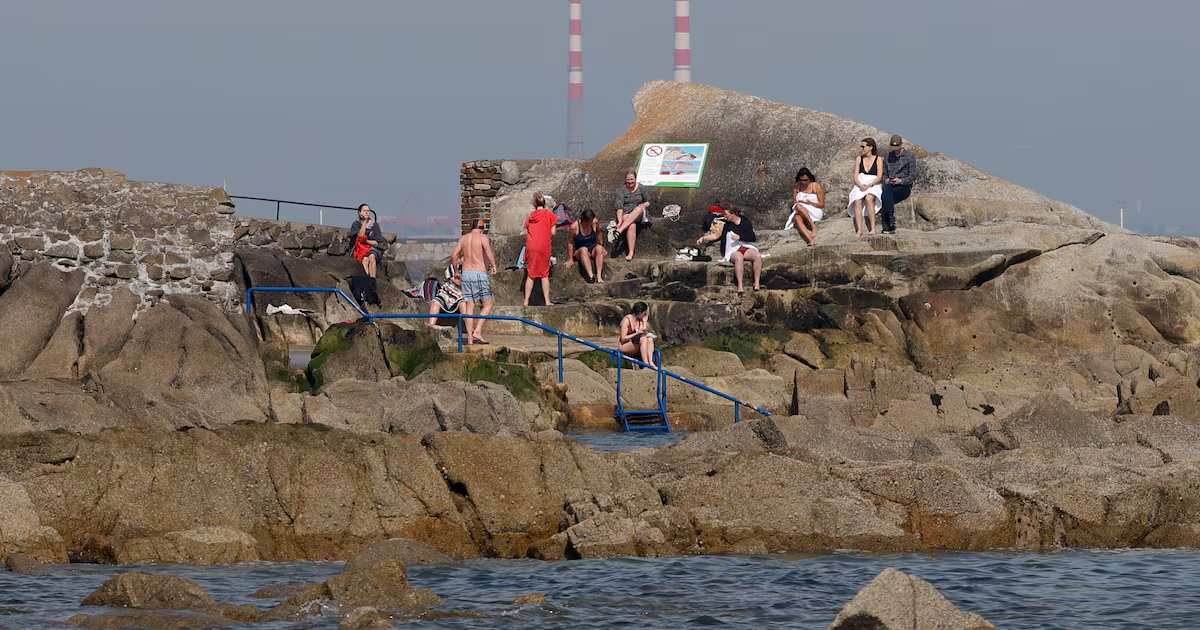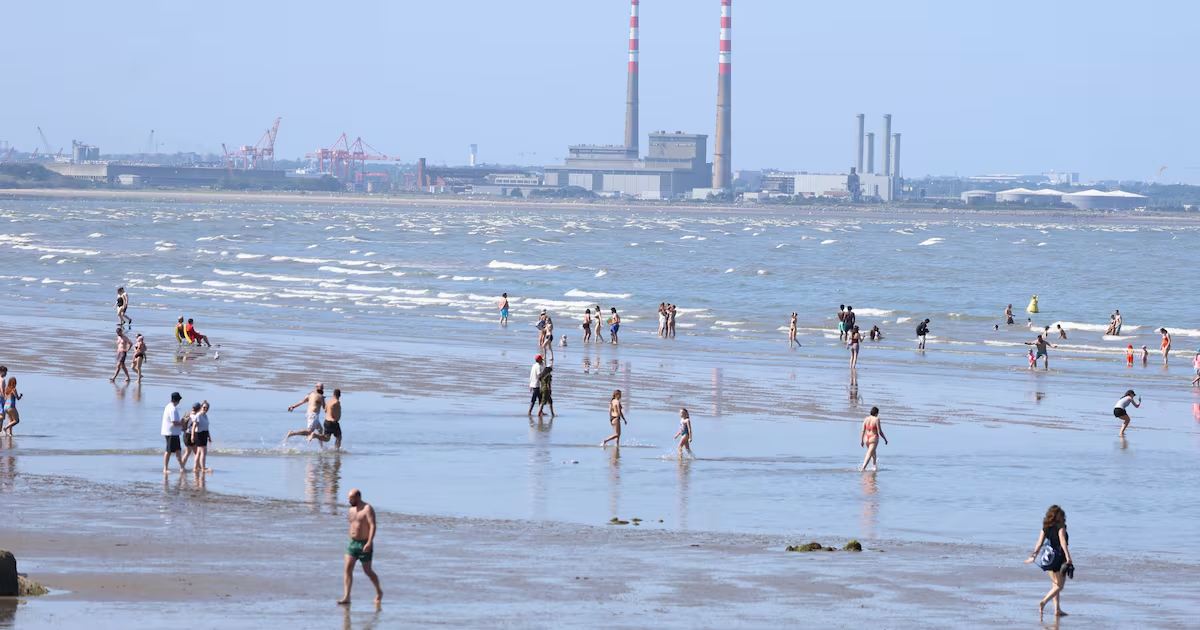
The current hot spell is expected to peak on Thursday but remain throughout next week, according to Met Éireann, though there will be a dip in temperatures at the weekend.Thursday is set to be another “very warm or hot day”, with highs likely to reach 29 or 30 degrees amid an ongoing status-yellow high-temperature warning.An overall high of 29 degrees was recorded at Shannon Airport, Co Clare, on Wednesday, according to provisional data.This week’s hot weather is likely to peak on Thursday, though temperatures are expected to rise again next week, based on current indications.The weather alert that came into effect on Wednesday for much of the country, with the exception of eastern counties, is due to lapse at 6am on Friday.Met Éireann has said it could be extended, particularly for southern counties experiencing the hottest weather.Highest temperatures of 24 to 29 or 30 degrees are expected on Thursday before dipping to night-time lows of 13 to 17.Friday will be another dry, sunny and warm “or very warm” day, with peaks of 23 to 28 degrees expected.[ The hosepipe snitches of suburban Ireland: It’s just not very ‘love thy neighbour’Opens in new window ]Areas in the north and northwest will see relatively cooler conditions from Friday due to a “change to a northerly airflow”, the forecaster said.This will see highest temperatures reach about 17 to 20 degrees in these areas.Temperatures generally look set to ease slightly after Friday, reaching 22 to 26 degrees in Munster and Leinster on Saturday, which will be dry and sunny.It will be cooler in Ulster and Connacht, however, where highs of 17 to 21 degrees are expected.Temperatures are set to ease further on Sunday, which will be a “cooler day”, Met Éireann said.Highest temperatures are expected to reach 20 to 24 degrees, though it will be cooler again in the north and northwest.Met Éireann meteorologist Ailís Hankinson said the high pressure currently bringing hot conditions is likely to remain throughout next week, according to current indications.“So there is the potential for those temperatures to stay above average and for this hot spell, while it will take a dip at the weekend, to stick around through next week, with very little rainfall on the cards,” she said.A six-week hosepipe ban came into effect just after midnight on Thursday for Dublin and south Tipperary as well as parts of Wicklow, Kildare, Meath, Wexford to safeguard water supplies.Hankinson said while there is a chance of some cloudier conditions and light showers coming from the north over the coming days, any rainfall accumulations will be “minimal”.While this week’s hot temperatures are expected to peak on Thursday, it is “hard to say how warm it’s going to be next week”, she said.
Met Éireann forecasts a cooler weekend before warm weather returns
Hot weather alert is due to lapse on Friday morning but could be extended in the south
452 words~2 min read