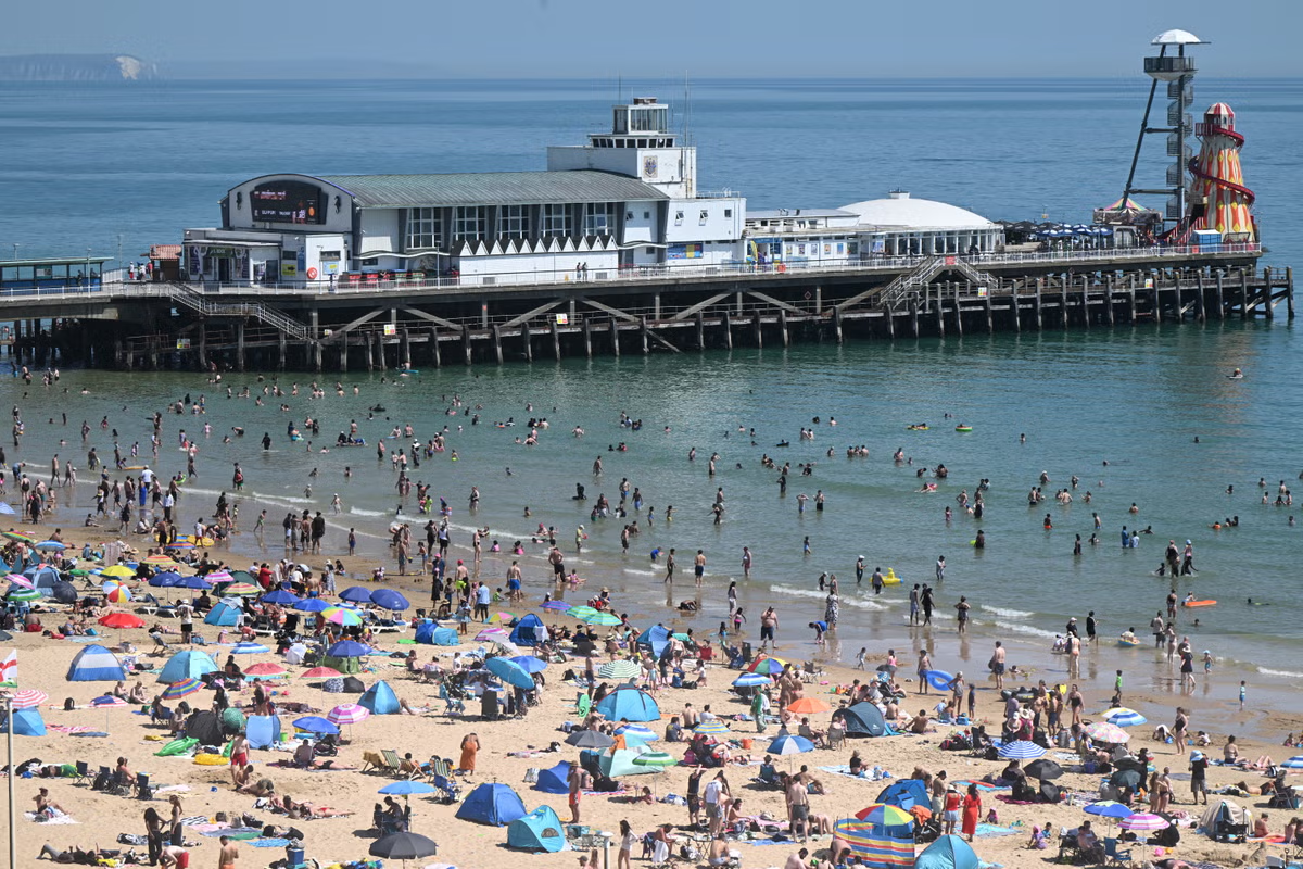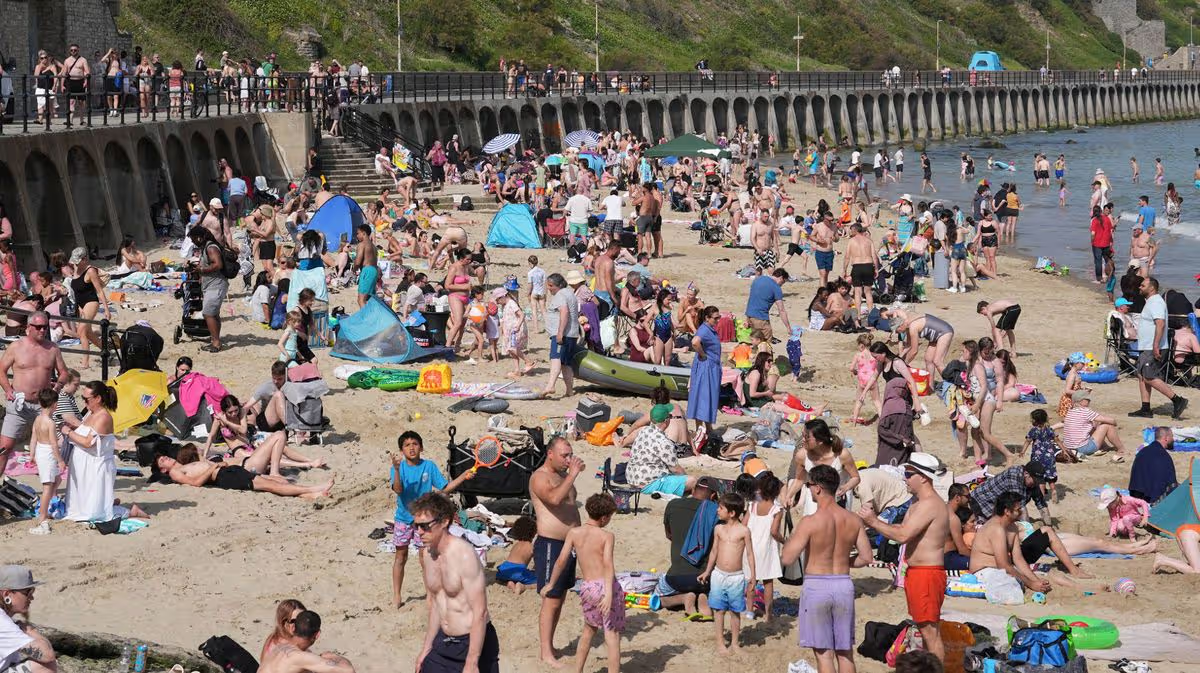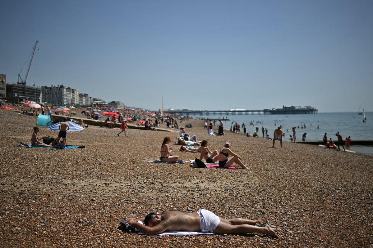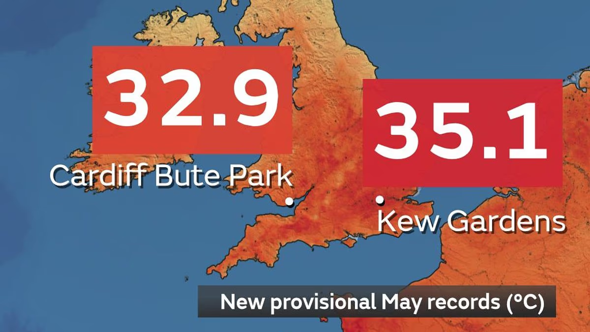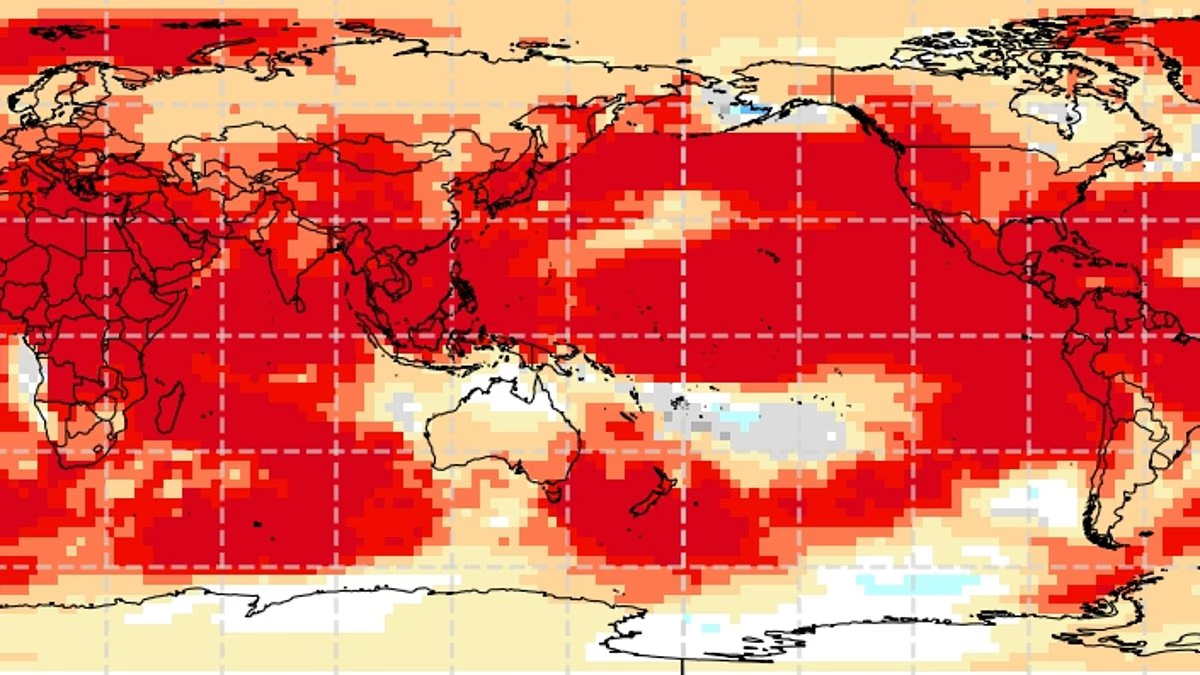
The UK is in the midst of a spring heatwave, with temperatures in parts of the country hitting 35.1°C. Now, scientists have warned that this is just a taste of what's to come. In a new report produced by the Met Office, scientists warn that global temperature records will continue to be smashed for at least another five years.Experts say it is almost certain that the record for hottest year, last set in 2024, will be smashed at least once in the next five years.According to their analysis, global temperatures over the next five years will range between 1.3°C (2.3°F) and a sweltering 1.9°C (3.4°F) above the 1850–1900 average. And with the warming weather pattern expected to kick in this July, scientists suggest that this week's extreme heatwave is just the beginning. In an ominous finding, researchers also found warm waters gathering in the Pacific Ocean, which may be a sign that a 'super El Niño' season is on its way. Dr Leon Hermanson, meteorologist at the Met Office and lead author of the report, says: 'There is an El Niño predicted for the end of 2026, which increases the chances of the following year, 2027, being the next record–breaking year.' Scientists warn that the world will keep experiencing record–breaking temperatures for at least the next five years. Pictured: Map showing how high above normal the temperature is expected to beScientists predict there is a strong (75 per cent) chance that the average temperature for all five years between 2026 and 2030 taken together will exceed the 1.5°C (2.7°F) warming limit laid out in the Paris Agreement.It is also almost certain that the average temperature for at least one individual year in this period will exceed the 1.5°C (2.7°F) threshold.In signing the Paris Agreement, nations committed to holding global temperature increase well below 2°C (3.6°F) above pre–industrial levels and pursue efforts to limit it to 1.5°C (2.7°F).Even if the next five years do exceed 1.5°C above the 1850–1900 average, this does not mean that the terms of the agreement have been breached.This is because the Paris Agreement refers to a significantly longer period, taking the average temperature over a 20–year period instead of just five.However, scientists have warned that every fraction of a degree above the 1.5°C threshold will bring significantly greater consequences for the world.The World Meteorological Organisation's Global Annual–to–Decadal Update combines the efforts of 13 research institutes around the world, including the UK Met Office.Their data shows that the world is on track for increasingly hot weather. Scientists predict the global temperature over the next five years will range between 1.3°C (2.3°F) and 1.9°C (3.4°F) above the 1850–1900 average. Pictured: Map showing predicted temperature above the pre–industrial average over the next five years This warming will be strongest in the Arctic. Researchers predict that average temperatures over the next five Arctic winters will be 2.8°C (5°F) hotter than the pre–industrial average Hottest years on record globally 2024 (59.2°F/15.1°C) 2023 (58.96°F/14.98°C)2025 (26.95°F/14.87°C)2016 (58.66°F/14.814°C) 2020 (58.65°F/14.807°C) 2019 (58.60°F/14.78°C) 2017 (58.50°F/14.723°C) 2022 (58.42°F/14.682°C) 2021 (58.38°F/14.656°C) 2018 (58.35°F/14.644°C) (Figures in brackets refer to global average air temperature for the year)Source: Copernicus These hot conditions will be felt especially strongly in the Arctic, which continues to warm much faster than the rest of the world.The report predicts that average temperatures over the next five Arctic winters will be 2.8°C (5°F) hotter than the pre–industrial average.That will have a significant effect on the Arctic sea ice, with further reductions in ice coverage predicted throughout the Barents Sea, Bering Sea, and Sea of Okhotsk.Critically, these reports show that there is a strong chance of El Niño conditions developing towards the end of this year into 2027 and 2028The El Niño–Southern Oscillation is a natural climate pattern which cycles between a hot El Niño and a cool La Niña phase every two to seven years.During the El Niño part of the cycle, warm waters that build up in the Pacific spread out and raise the Earth's average surface temperature.Sea surface temperatures are now approaching the highest levels ever recorded, with some days exceeding the record levels set in 2024.According to a number of leading scientists, this is a clear indication that the world is about to feel one of the strongest El Niño years of the century, starting from July this year. Current sea surface conditions suggest that a powerful El Niño weather pattern is likely to start late this year, increasing the chances of 2027 or 2028 being the hottest year on record Scientists say there is an extremely high, 86 per cent, chance that one year between now and 2030 will smash the temperature record last set in 2024.Recent research suggests that the impact of this event could be disastrous for the world's population.Researchers suggest that the imminent 'super El Niño' could be even more powerful than the 1877 El Niño, one of the most severe climate events in recorded history.Climate reconstructions suggest water temperatures in a key region of the Pacific Ocean rose by 2.7°C (4.86°F), which caused disruption to rainfall patterns around the world.Now, forecasts suggest water temperatures could potentially exceed 3°C (5.4°F) above average later this year – making the upcoming super El Niño even more powerful than the one nearly 150 years ago.'Simultaneous multiyear droughts similar to those in the 1870s could happen again,' Deepti Singh, associate professor at Washington State University, told the Washington Post.El Niño years don't directly impact weather in the UK, but the changes to global weather systems they produce can have large knock–on effects.Over the next five years, the report also finds that Northern Europe is likely to have significantly wetter winter conditions.This comes with an increased risk of extreme precipitation events, raising the risk of flash flooding and extensive damage to crops.WHAT IS THE EL NINO PHENOMENON IN THE PACIFIC OCEAN?El Niño and La Niña are the warm and cool phases (respectively) of a recurring climate phenomenon across the tropical Pacific - the El Niño-Southern Oscillation, or 'ENSO' for short.The pattern can shift back and forth irregularly every two to seven years, and each phase triggers predictable disruptions of temperature, winds and precipitation. These changes disrupt air movement and affect global climate. ENSO has three phases it can be: El Niño: A warming of the ocean surface, or above-average sea surface temperatures (SST), in the central and eastern tropical Pacific Ocean. Over Indonesia, rainfall becomes reduced while rainfall increases over the tropical Pacific Ocean. The low-level surface winds, which normally blow from east to west along the equator, instead weaken or, in some cases, start blowing the other direction from west to east. La Niña: A cooling of the ocean surface, or below-average sea surface temperatures (SST), in the central and eastern tropical Pacific Ocean. Over Indonesia, rainfall tends to increase while rainfall decreases over the central tropical Pacific Ocean. The normal easterly winds along the equator become even stronger.Neutral: Neither El Niño or La Niña. Often tropical Pacific SSTs are generally close to average. Maps showing the most commonly experienced impacts related to El Niño ('warm episode,' top) and La Niña ('cold episode,' bottom) during the period December to February, when both phenomena tend to be at their strongestSource: Climate.gov
Think this is bad? Temperature records will be broken for 5 YEARS
As the UK swelters in record-breaking spring heat, scientists have warned that things are only going to get hotter.
1,197 words~5 min read