May 26, 2026 | 10:59 am
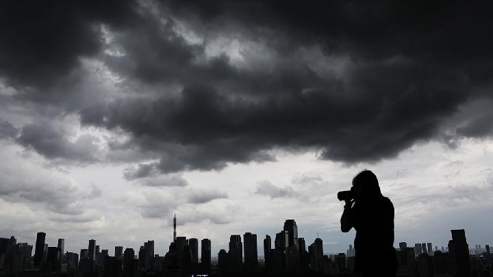
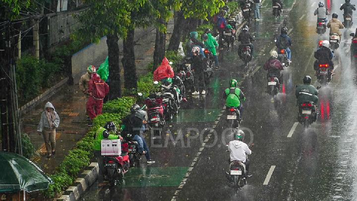
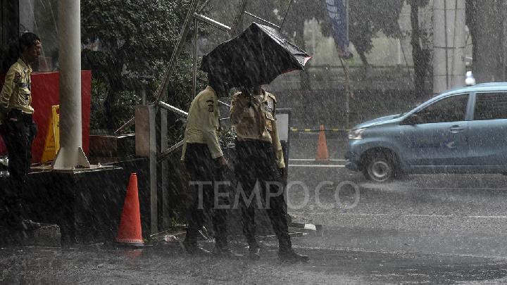
TEMPO.CO, Jakarta - The Meteorology Climatology and Geophysics Agency (BMKG) forecasts light rain in some parts of Jakarta today, Tuesday, May 26, 2026. This extends to South Jakarta and East Jakarta, while the rest of the capital will remain sunny and, for the Seribu Islands, cloudy.Beyond Jakarta, cloudy weather is also expected in Tangerang Regency and City. Meanwhile, South Tangerang; Bekasi Regency and City; as well as Depok City, are looking to face a drizzly day ahead. Overall, the weather agency is not releasing an early warning for downpours for Jakarta today, diverging from Monday's lookout for potential moderate to heavy rain. On Sunday, May 24, rain with intensity ranging from heavy to very heavy poured in parts of Greater Jakarta, with recorded rainfall of over 102 mm throughout the day, as measured at the Automatic Rain Gauge in Ciganjur, South Jakarta.Dry season is finally here, why the downpours?BMKG explained that some regions in Indonesia have entered the dry season while others remain in a transitional period, marked by minimal cloud cover from morning until noon, which triggers intense surface heating.This atmospheric instability can be validated by the high intensity of rainfall, ranging from heavy to very heavy, recorded in some parts of Indonesia, not just in Greater Jakarta. For example, West Kalimantan experienced rain of up to 129.5 mm last Friday. Bengkulu received rainfall with an intensity of 96.4 mm per day last Thursday, and Maluku with 88.4 mm/day over the weekend.Aside from local atmospheric instability, the increased rainfall during this period is also influenced by the interaction of a number of atmospheric phenomena, starting from the ongoing Madden-Julian Oscillation (MJO) in the 5th phase (Maritime Continent).In addition, the Equatorial Rossby Wave and Kelvin Wave also contribute to supporting the growth of rain clouds in several regions of Indonesia. Not only that, the formation of cyclonic circulation also creates convergence in some parts of the country."These atmospheric conditions increasingly support the formation of clouds, thus raising the chance of rain in several regions," according to the Public Meteorology Directorate of BMKG on Monday, May 25, 2026.A similar statement was echoed by a researcher at the Climate and Atmosphere Research Center of the National Research and Innovation Agency (BRIN), Erma Yulihastin. According to her, the frequent rain in Java throughout May, when some parts of Indonesia have entered the dry season, is caused by atmospheric wave activities, namely Kelvin and MJO. However, after May 25, Erma explained, all atmospheric waves are expected to become inactive. This, she said on Tuesday, will remain consistent with the "dry season due to El Nino." Based on data from BMKG, the current El Nino condition in the Pacific Ocean has been confirmed through the Nino 3.4 index at +0.68. It is known that El Nino is declared when the sea surface temperature anomaly in the central-eastern equatorial Pacific (Nino 3.4) reaches +0.5 degrees Celsius.Erma added that several models show different timings regarding the shift from a strong El Nino to a super El Nino. "Models from BOM, ECMWF, and JAMSTEC indicate the possibility of becoming a super El Nino in July 2026, while NOAA shows the greatest chance in November 2026."Read: BMKG Predicts Rain and Thunder in Parts of Jakarta Today Click here to get the latest news updates from Tempo on Google News