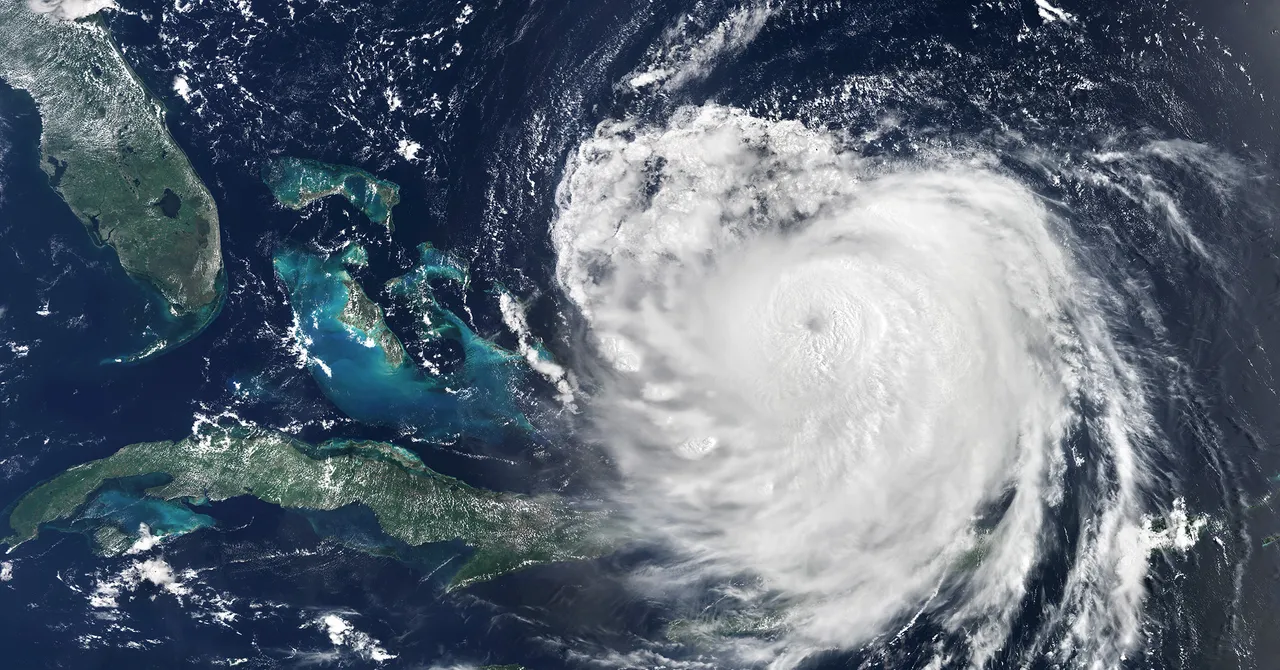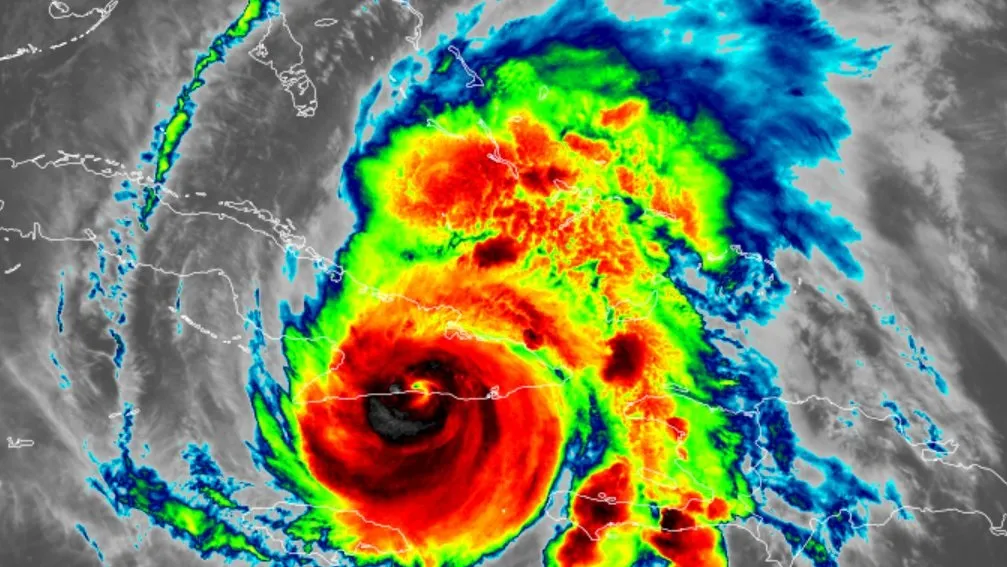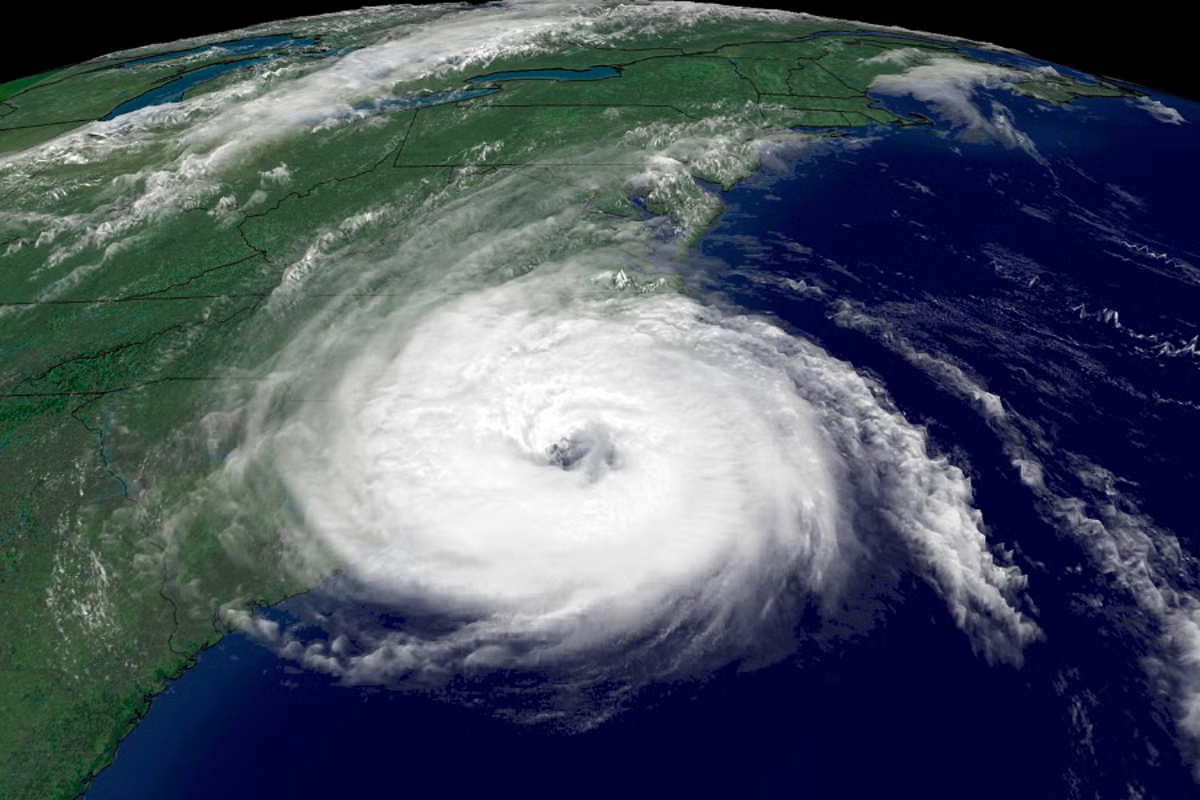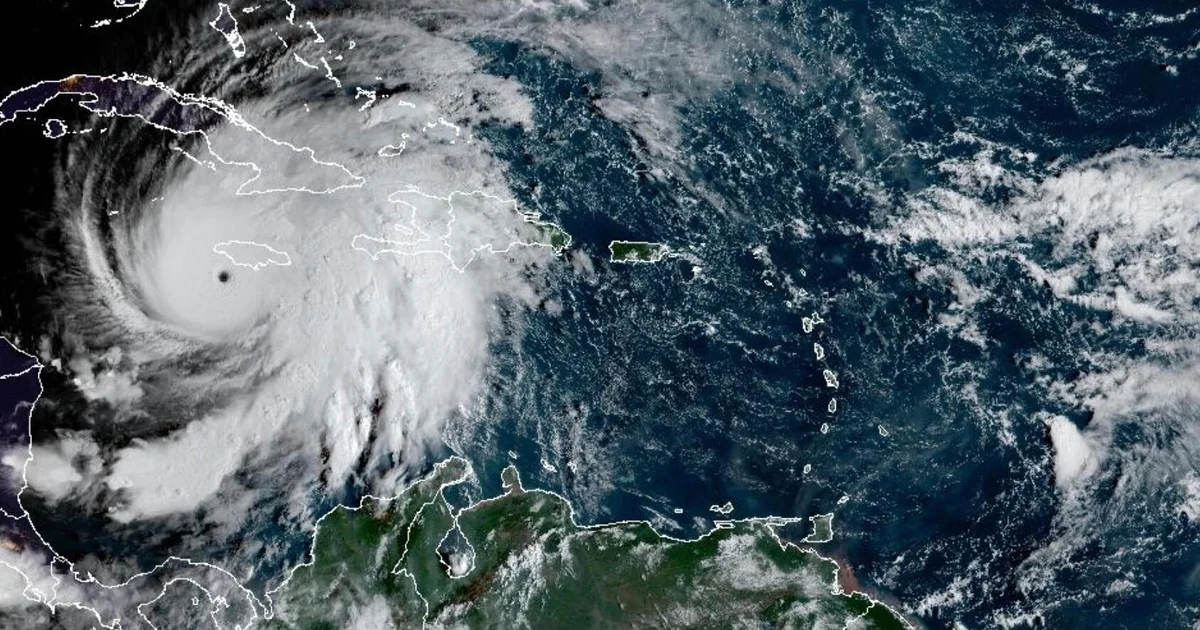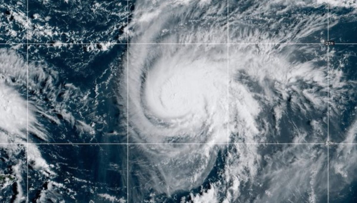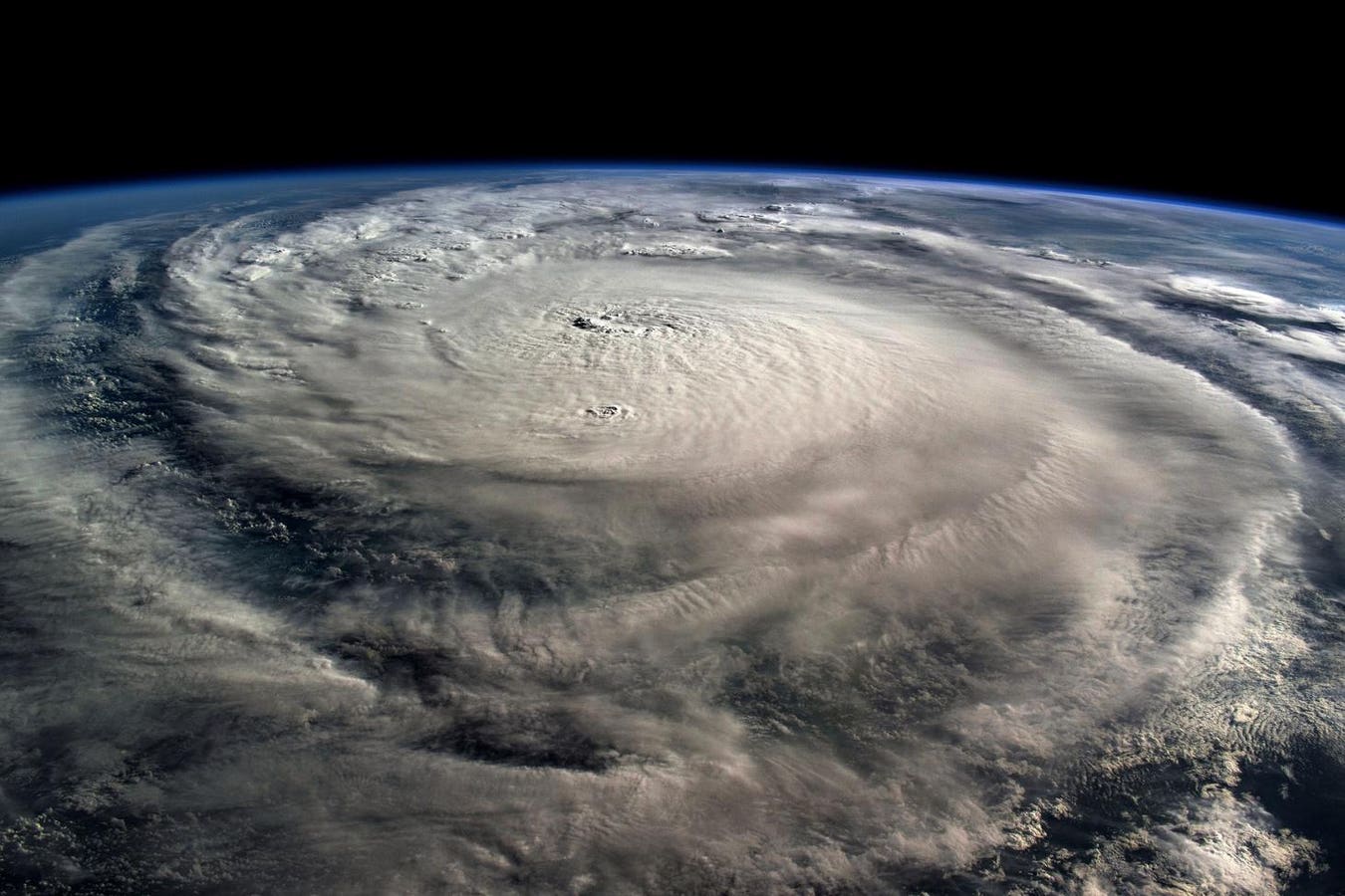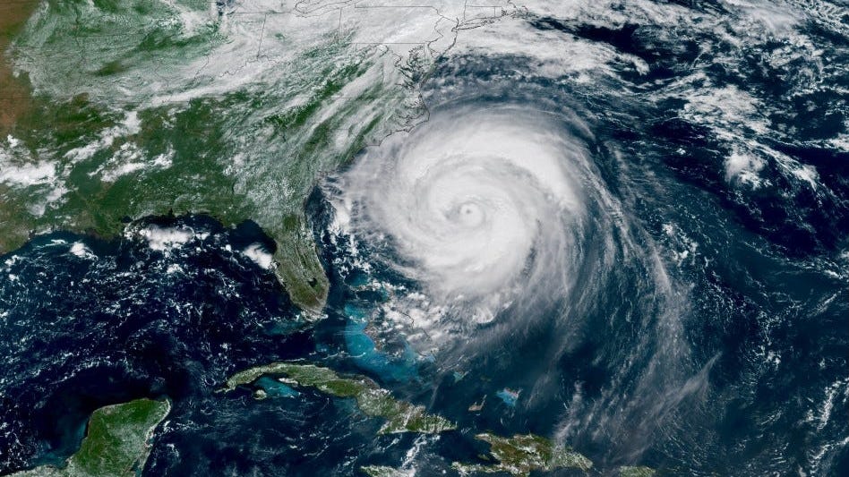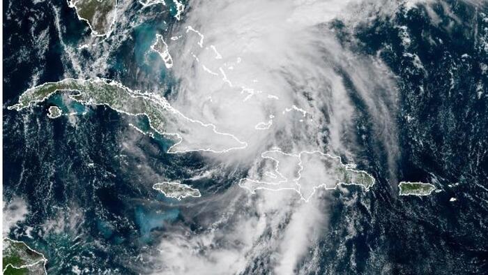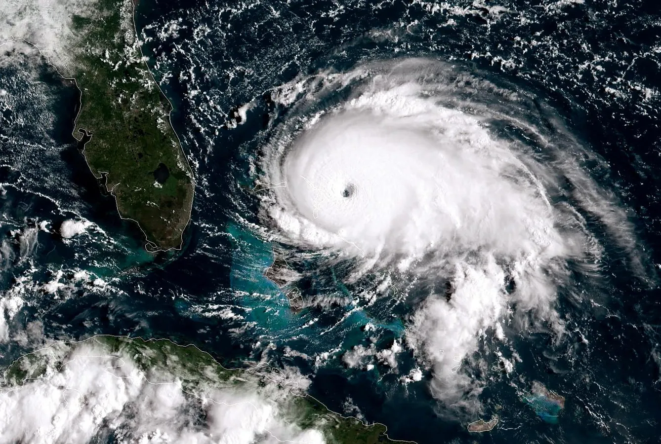
ATLANTIC OCEAN - SEPTEMBER 1: In this NOAA GOES-East satellite handout image, Hurricane Dorian on September 1, 2019. (Photo by NOAA via Getty Images)Getty ImagesWe are a week away from the official start of hurricane season, and I have already seen it. Social “media-rologists” posting long-range, one-run weather model data claiming a hurricane or tropical system is in our near future. It’s the perfect time to remind you about hurricane season alarmism. There are four questions that you can ask to help stop the spread of it.The Atlantic hurricane season starts on June 1. However, the hype and alarmism begin days or weeks in advance as models “spin” up any spurious entities that appear even remotely tropical. These days clicks, shares and engagements mean real money for social media influencers or elevated clout in certain circles. Because of these facts, you will see people share weather information that is incomplete, out of context or far too early to be conclusive. It is quite problematic because when people consume or share such information and nothing happens, it undermines the credibility of experts who know better. It also contributes to cliche statements about forecasters always being wrong.Deterministic and Probabilistic Model ForecastsNWSDeterministic and Probabilistic Weather Model ForecastsI see hype-sharing with snowstorms during the winter season and severe weather in the spring. However, hurricane season is prime time for the weather hype machine. One of the biggest problems that I see is people sharing “single run solutions” ten or more days out. The use of specific single “deterministic” model runs from the European model, American Model, or any other model is problematic. Meteorologists understand that model solutions beyond 10 days are less reliable. The models can produce all types of spurious “tropical-looking” signals in the out days. Aerial cityscape image of downtown St. Paul, Minnesota, USA with reflection of the skyline in Mississippi River at beautiful summer sunrise.gettyMORE FOR YOUMore importantly, we are in an era of ensemble model forecasts that depict multiple solutions based on slightly different initial conditions. Let me explain. If I placed a beach ball in the Mississippi River along the left bank under a bridge in St. Paul Minnesota, theoretically I could predict where downstream the ball would be 3 days later. That’s because the river is a fluid flowing with a constrained set of boundary, temperature, and other conditions. I could also place the ball in the river at 10 or so different starting points or river conditions. Because I changed the initial condition, the forecast outcome three days later might vary for each ball placement. By taking the average of the “ensemble," it better accounts for uncertainties. That’s essentially how ensemble weather forecasting works. The use of “probabilistic” forecasting accounts for assumptions in the model, uncertainties with atmospheric initial conditions, and in some cases, different models themselves. If you see someone share a single, deterministic model outcome this season, roll your eyes and find another source.
Avoid Social Media Hype This Hurricane Season By Asking 4 Questions
With hurricane season around the corner, you will likely see alarmism and hype on social media. Here are 4 questions to ask before spreading bad information.
489 words~2 min read