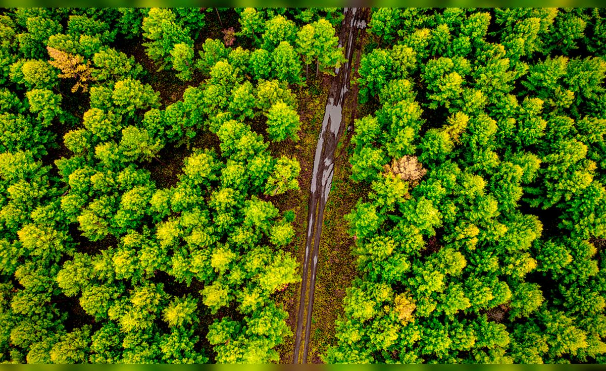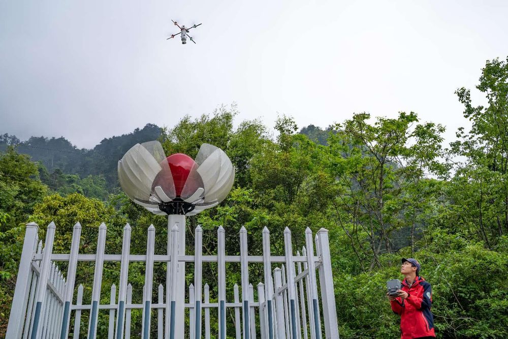
A staff member of a national field observation and research station for forest ecosystem in Dayao Mountain, south China's Guangxi Zhuang autonomous region operates a drone to patrol the forest and collect data.
Spread across a desk in the office of the National Territorial Spatial Planning Bureau of China's Ministry of Natural Resources is a special map of the country. Across it run vivid red lines, weaving through mountains, rivers, major water sources, and wildlife habitats – boundaries drawn to safeguard China's ecological security.
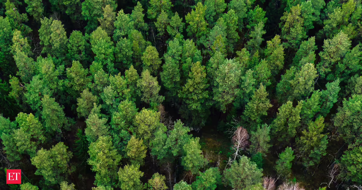
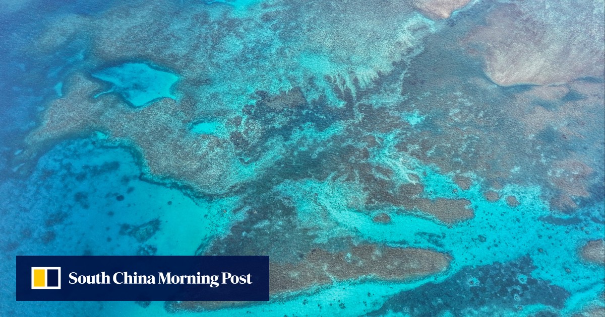
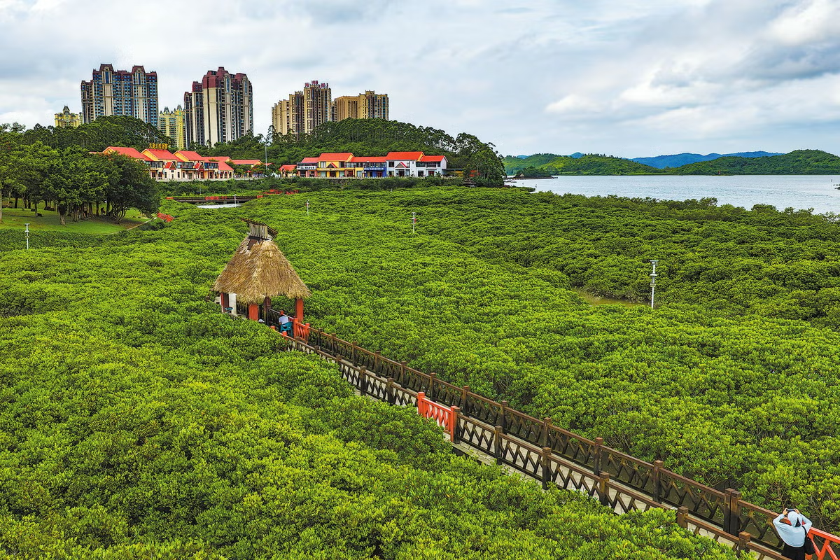
China first introduced the concept of "ecological protection red lines" in 2011, and by 2022 had completed the nationwide delineation of ecological protection red lines covering both land and sea. Under the system, areas with critically important ecological functions and environmentally fragile or sensitive ecosystems are placed under the strictest protection.
Today, these red lines encircle 3.19 million square kilometres, including about 3.04 million square kilometres of land and about 150,000 square kilometres of marine areas. The system has not only strengthened the country's ecological security, but also contributed Chinese solutions and experience to global environmental governance.