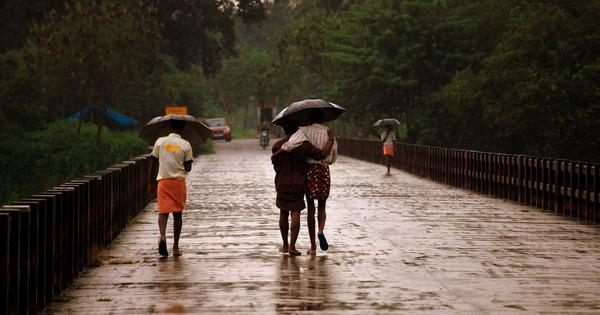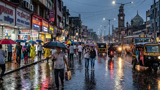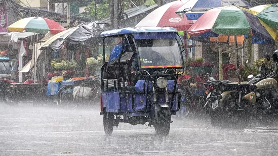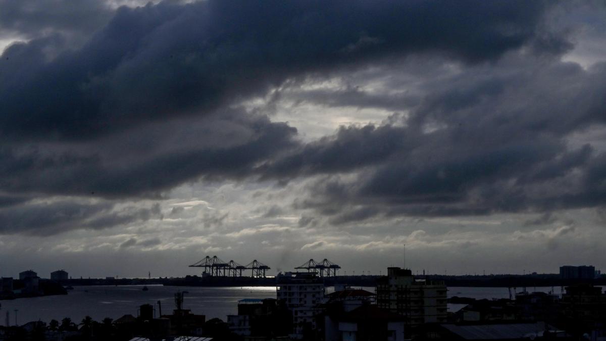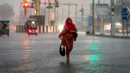
The southwest monsoon is set to hit Kerala six days earlier than the usual June 1 date. The India Meteorological Department has pegged the onset of the monsoon on May 26.Experts say that an early onset does no guarantee protection against a weak monsoon season. (Representational)According to the weather department, conditions are favourable for the monsoon to advance over parts of the south Bay of Bengal, the Andaman Sea, and the Andaman and Nicobar Islands within 24 hours. Further, heavy rains are expected along the southern parts of the west coast on May 28.However, despite the early onset and expected extensive rainfall, it is not certain whether the country will receive sufficient rains, given the emergence of an El Nino, which could undercut the season well before it reaches peak intensity.Also Read | 'Super’ El Niño to hit Earth in coming months; world braces for intense weather conditionsEl Nino and IMD's ‘below normal’ monsoon forecastThe weather department's first-stage long-range prediction for this year has already forecast a below-normal rainfall for the June-September season.The IMD has predicted 92% of the long-period average, with an error margin of plus or minus 5%.Experts say that an early onset does not guarantee protection against a weak season.In fact in India, El Nino is associated with harsher summers and a weaker monsoon.“There is no correlation between the early onset of monsoon and overall quantum of monsoon rain. In fact, there have been years when monsoon has arrived early but rainfall has been weak. It depends on how many low pressure systems form or how the surge develops because monsoon moves in surges,” Mahesh Palawat, vice president, climate and meteorology, Skymet Weather, said.What is an El Nino? How has it affected monsoon in India?First, the name. The term El Nino originates from 17th-century Peruvian fishermen who noticed unusually warm ocean currents appearing off the Pacific coast of South America around December.Because it peaked near Christmas, they named the phenomenon ‘El Nino de Navidad’, which translates to 'The Christmas Child' in Spanish. Over time, the shortened usage, meaning ‘little boy’, denoted warmer-than-usual ocean currents in any season.This year, atmospheric signals from the Pacific are on course to confirm the arrival of an El Nino.How it builds, impacts IndiaDuring normal conditions in the Pacific ocean, trade winds blow west along the equator, taking warm water from South America towards Asia.However, during an El Nino climate pattern, trade winds weaken and warm water is pushed back east, toward the west coast of the Americas, according to the US National Oceanic and Atmospheric Administration (NOAA).This further suppresses the moisture-laden winds that normally blow toward the Indian subcontinent, sometimes contributing to deficient rains.Scientists at the US atmospheric administration put the probability of El Nino emerging between May and July at 82%, with the event likely to persist into next year. India receives nearly 70% of its annual rainfall during the June-September monsoon season, thus raising fears of a weaker monsoon.Past instancesSeveral drought years in India have coincided with El Nino events.For instance, the country experienced drought-like conditions, crop failures, and water shortages during the major El Nino event of 2015-16. During these years, India had recorded only 86% of normal monsoon rainfall, with Maharashtra's Marathwada seeing nearly 40% rainfall deficit.In 2023 too, during the El Nino, India witnessed a 36% rain deficit in August alone.
Monsoon is coming early, but that doesn't mean it will rain enough. El Nino is to blame | Explained
The weather department's first-stage long-range forecast for this year has already predicted below-normal rainfall for the June–September period. | India News
554 words~3 min read