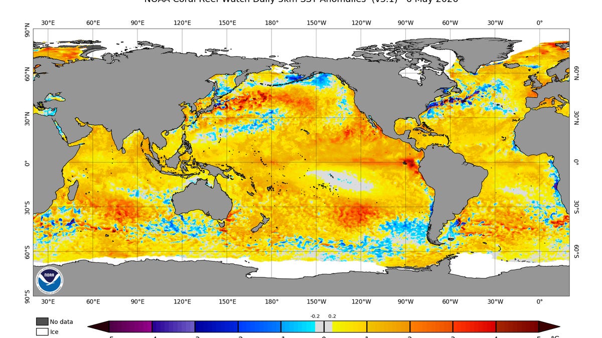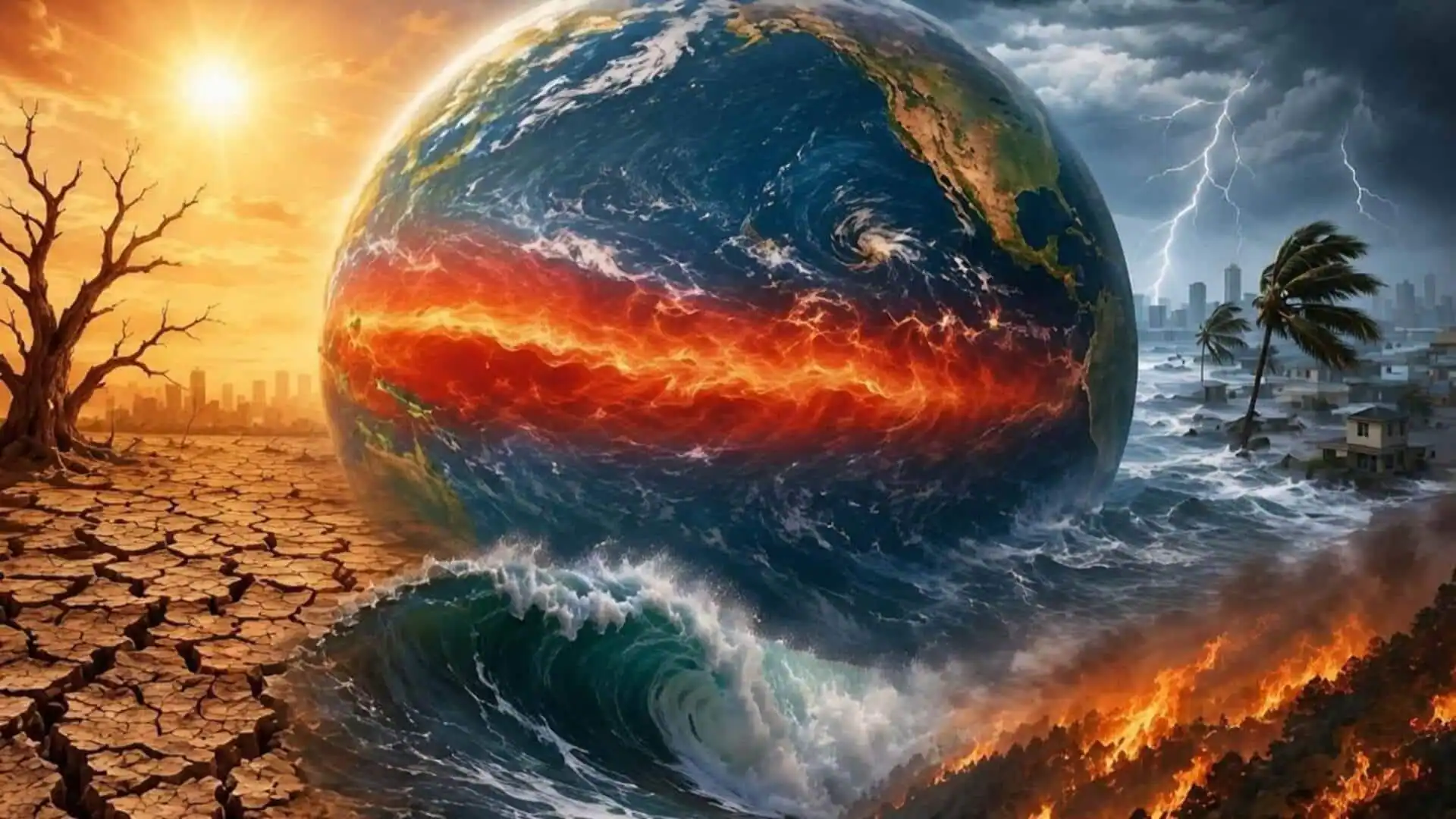
Seasonal models are predicting an El Nino climate pattern that could be the strongest on record, bringing with it more extreme weather.“I think we’re going to see weather events that we’ve never seen in modern history before,” WFLA-TV Chief Meteorologist and Climate Specialist Jeff Berardelli, in Tampa, Florida, said Friday.An El Nino event is expected to develop from the middle of this year, impacting global temperature and rainfall patterns, according to the World Meteorological Organization. While the models indicate that this may be a strong event, the WMO cautioned that the models also have a harder time making accurate forecasts in the spring.
What El Nino isEl Nino is a cyclical and natural warming of patches of the equatorial Pacific that then alters the world’s weather patterns. Its counterpart, La Nina, is marked by waters that are cooler than average. Berardelli said an El Nino event essentially redistributes heat on Earth. Currently, the subsurface heat in the Pacific is moving east across the ocean and ascending to the surface from the deep waters, the initial stages of El Nino. The WMO’s Global Seasonal Climate Update showed that sea-surface temperatures are rising rapidly. There is high confidence in the onset of El Nino, followed by further intensification in the months to follow, according to Wilfran Moufouma Okia, chief of climate prediction at WMO. El Nino typically occurs every two to seven years and lasts around nine to 12 months, WMO said.