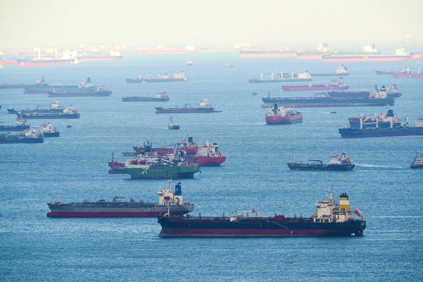
Hours after the first salvos of the U.S. and Israel’s “pre-emptive” strikes against Iran on Feb. 28, the data analytics firm Kpler observed vessels in the Persian Gulf making unusual maneuvers, with location data from ships in the Gulf showing vessels traveling over land and making sharp turns in polygonal paths.
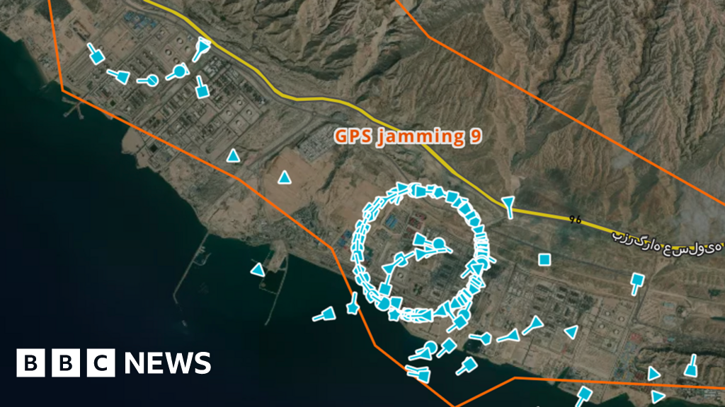
Since the start of the war, similar disruptions to location-based services have surged across the Middle East, affecting mariners, aircraft, and motorists alike.
These disruptions have also exposed key vulnerabilities of the GPS, an American-made system now synonymous with satellite navigation.
For years, firms like Kpler have flagged thousands of instances of oil tankers in the Persian Gulf manipulating onboard Automatic Identification System (AIS) signals — the system used to track vessels in transit — to evade sanctions on Iranian oil exports.
Known as spoofing, this manipulation of location signals allows vessels to obscure their movements, and has long been a tool of “covert” operations, according to Ana Subasic, a trade risk analyst from Kpler.