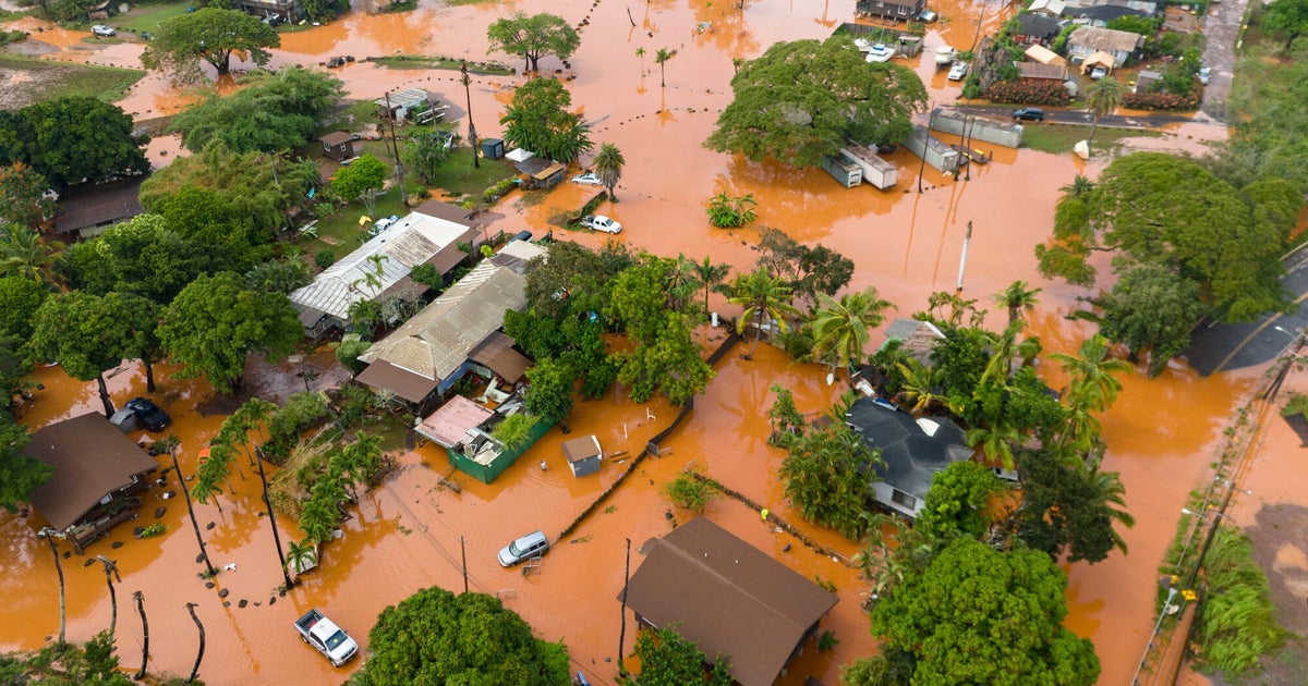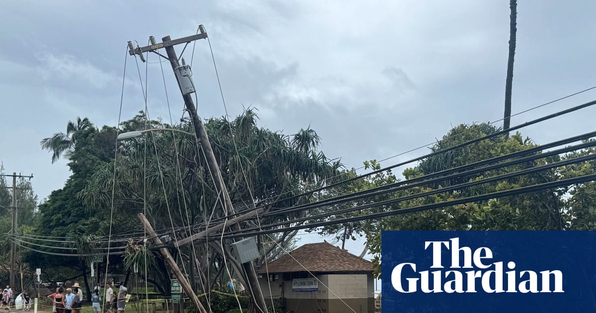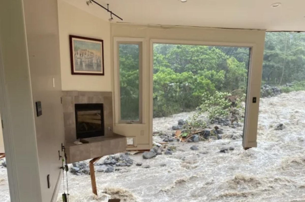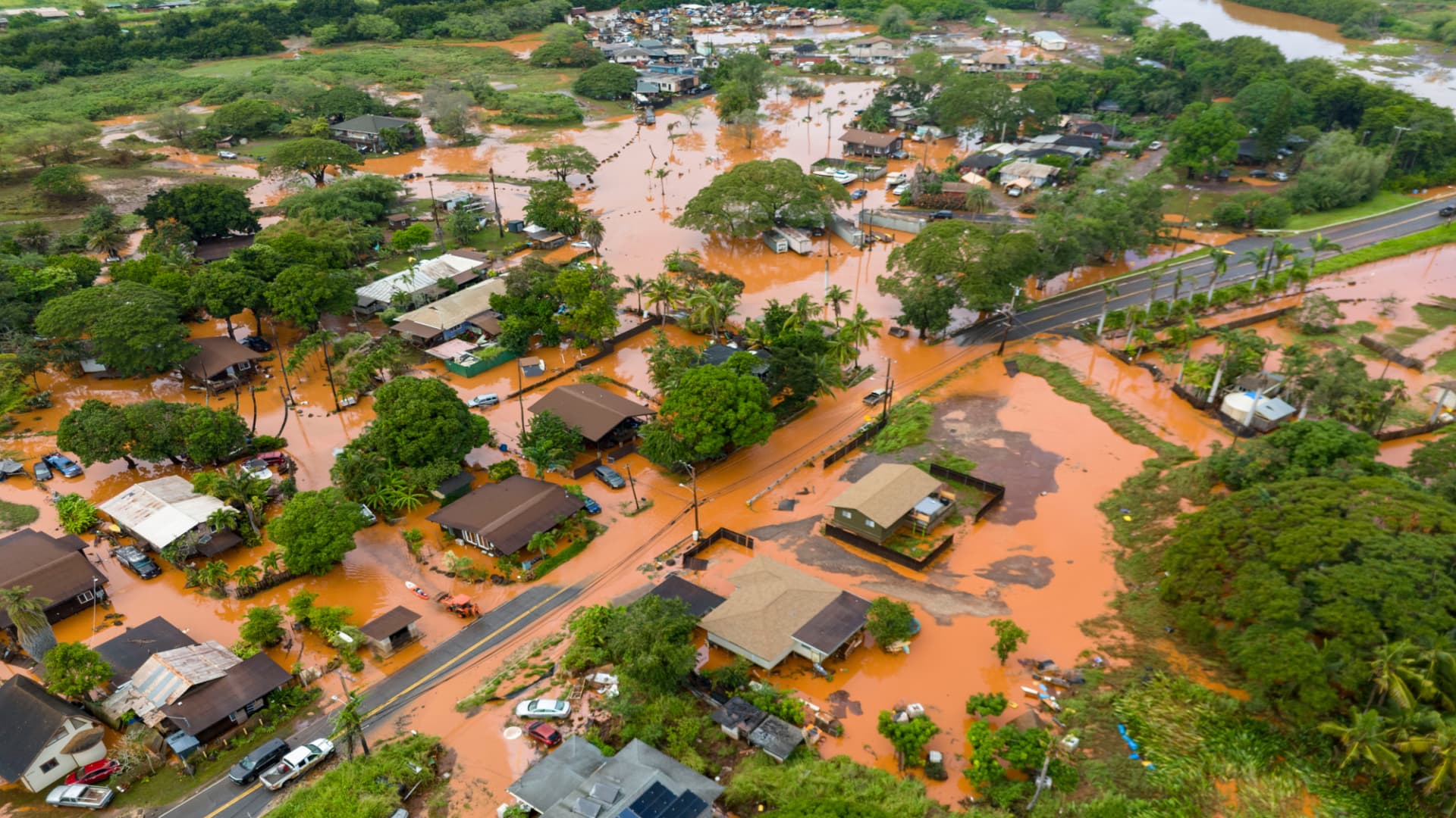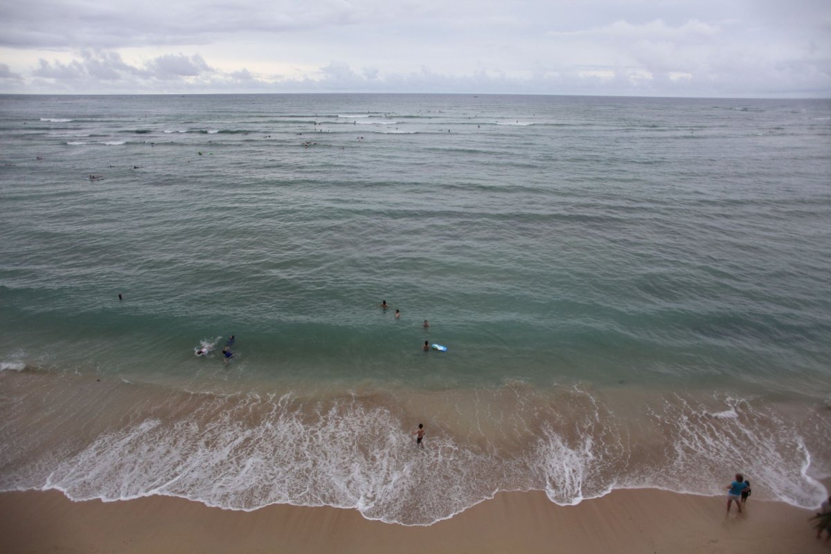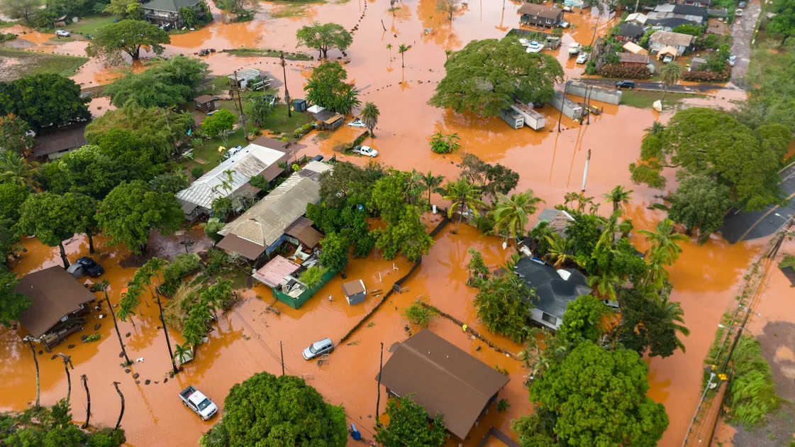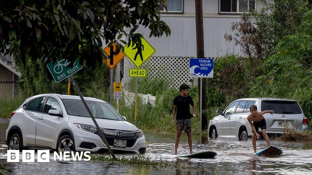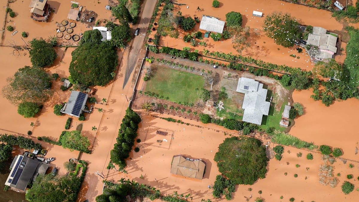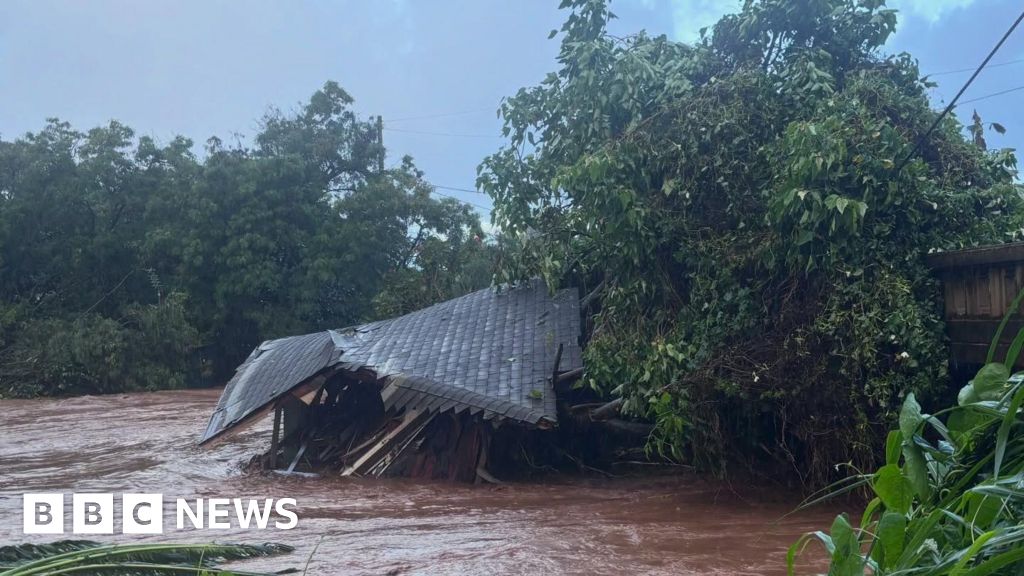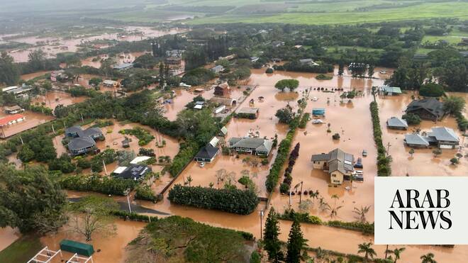
Just four days after storms swept Hawaii with flooding rains and more than 100 mph winds, the islands are bracing for another round arriving March 19 and lingering through the weekend.
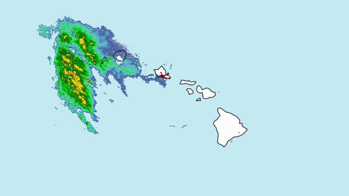
Another subtropical cyclone, known as a "kona storm" or "kona low," is forming and forecast to bring more rain and flooding, but without the highest winds of the previous storm, said Matthew Foster, a meteorologist with the National Weather Service in Honolulu.
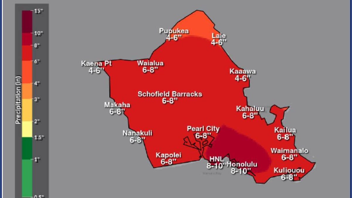
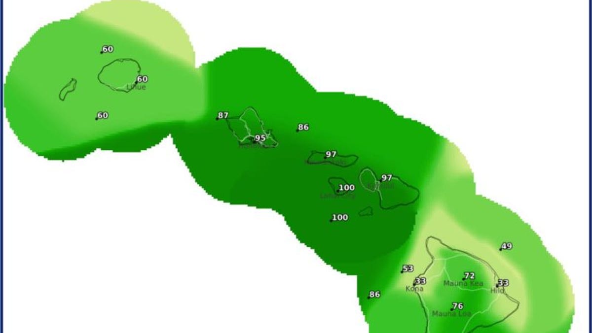
The heaviest rain is expected on Oahu, Maui and the Big Island, according to weather service reports. "While this storm may not be as strong as last week’s kona low, individual areas may be impacted differently depending on where rain bands set up," the weather service added.
The system is forecast to drag moisture over the region into the night of March 19 and into the 20th, Foster said. Then a trough will move into the area and intensify on March 20 and 21.
Kona is the Hawaiian word for leeward, and these subtropical cyclones often form on the west or northwest of the archipelago, considered the leeward side of the islands and typically sheltered from the tradewinds and intense rains.