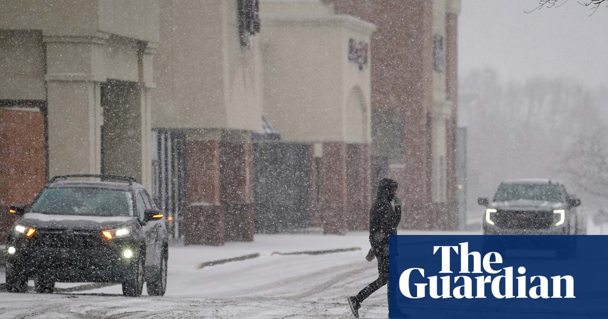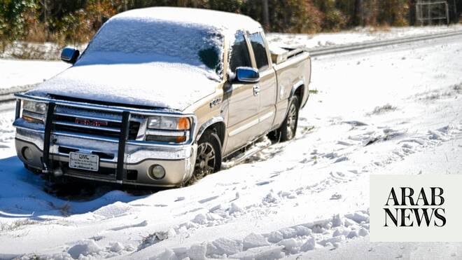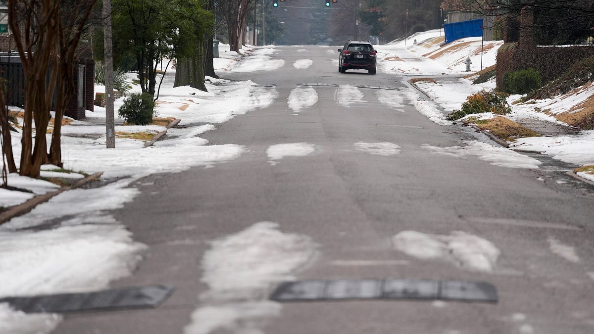
MEMPHIS, Tenn. (AP) — Forecasters warned that dangerous extra-cold conditions will persist into Monday morning for a huge swath of the U.S. from the Gulf Coast into New England that was cleaning up after a weekend bomb cyclone brought heavy snow and flight cancellations to North Carolina and flurries and falling iguanas in Florida.
Temperatures will begin inching up throughout the day but more misery was expected for thousands who were still without power from the ice storm last month in the South.
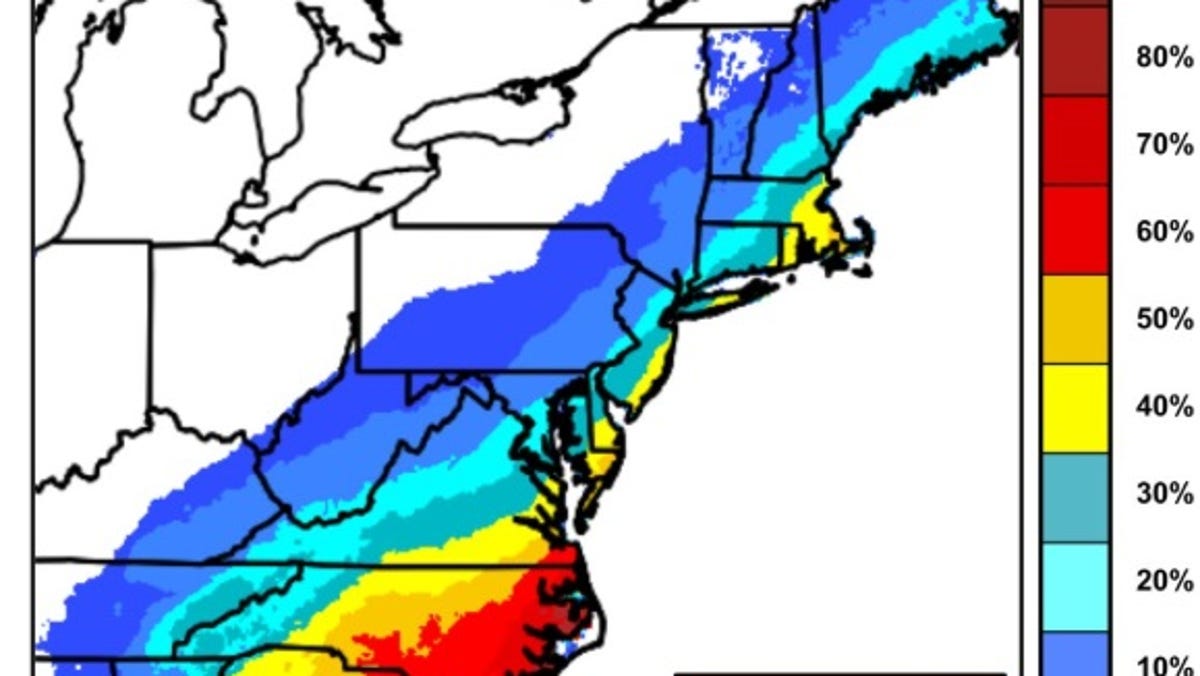
About 150 million people were under cold weather advisories and extreme cold warnings Sunday in the eastern portion of the U.S., with single-digit temperatures in southern states and the coldest air mass in South Florida since December 1989, said Peter Mullinax, a National Weather Service meteorologist in College Park, Maryland.
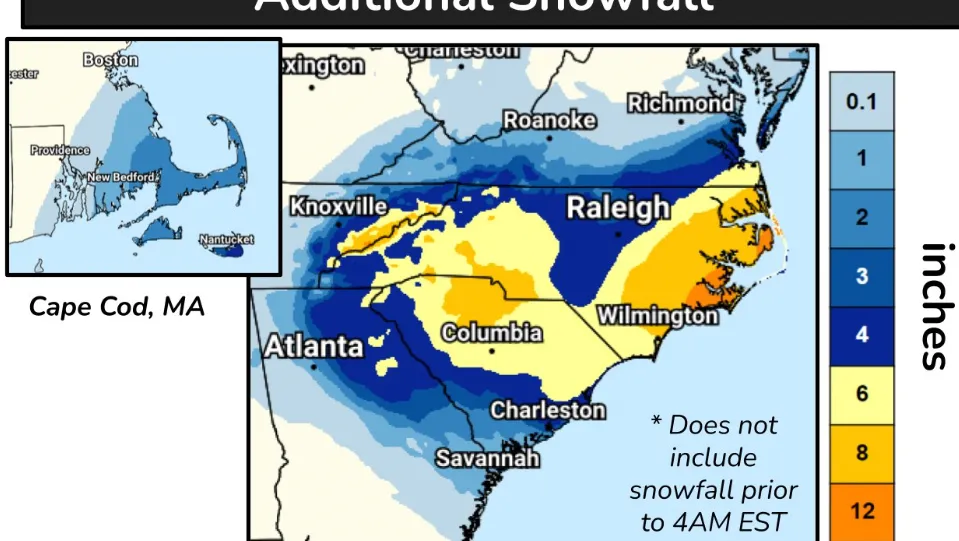
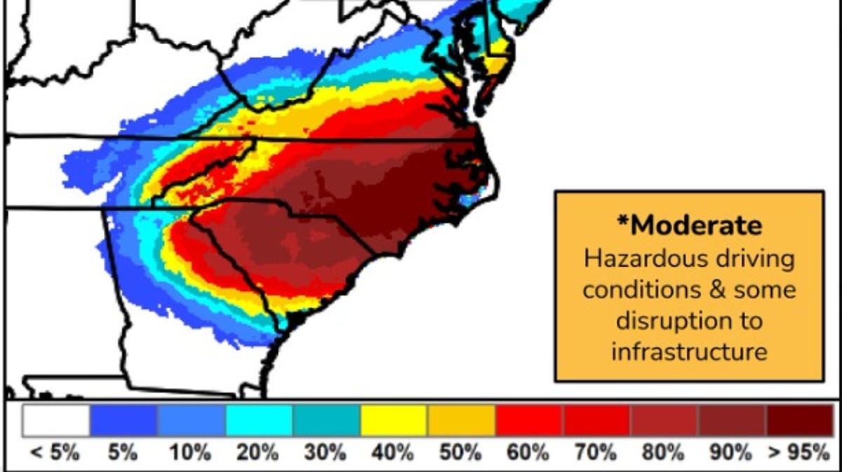
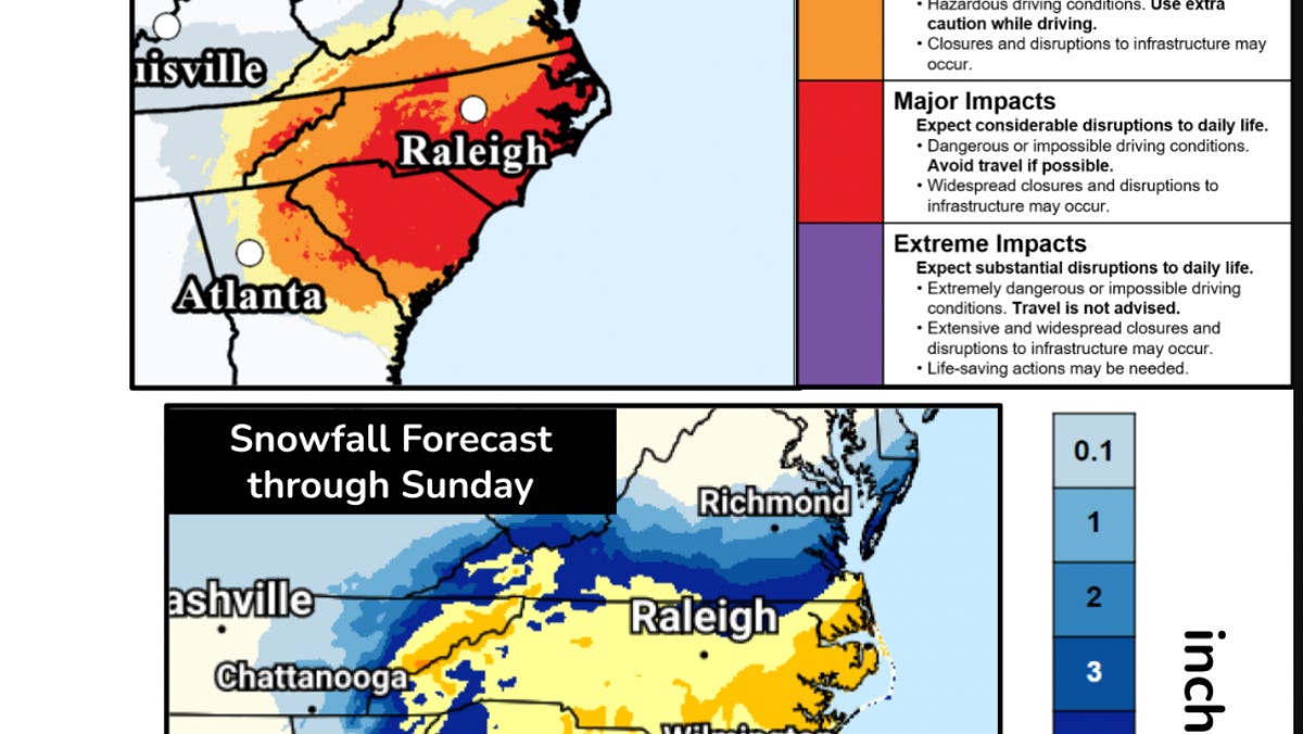
Heavy Snowfall In North Carolina
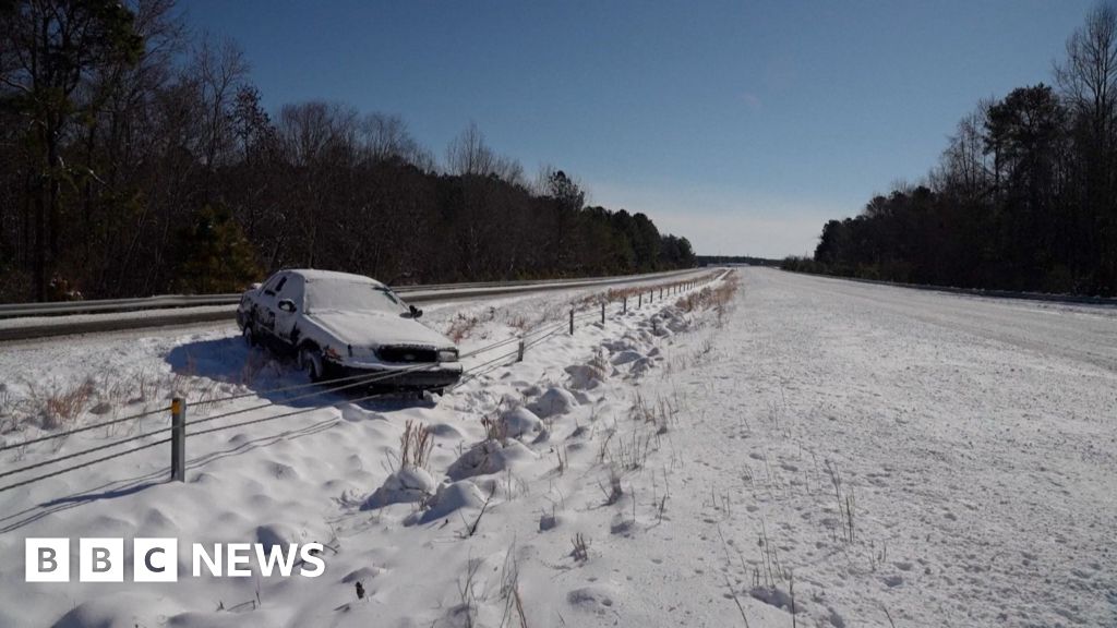
The National Weather Service office for Raleigh, North Carolina, warned that wind chills will drop early Monday to near zero Fahrenheit (-17 Celsius). “Snow and ice will linger, with refreezing tonight making travel hazardous,” the office said Sunday on social media. “Use caution on roads and dress in warm layers.”