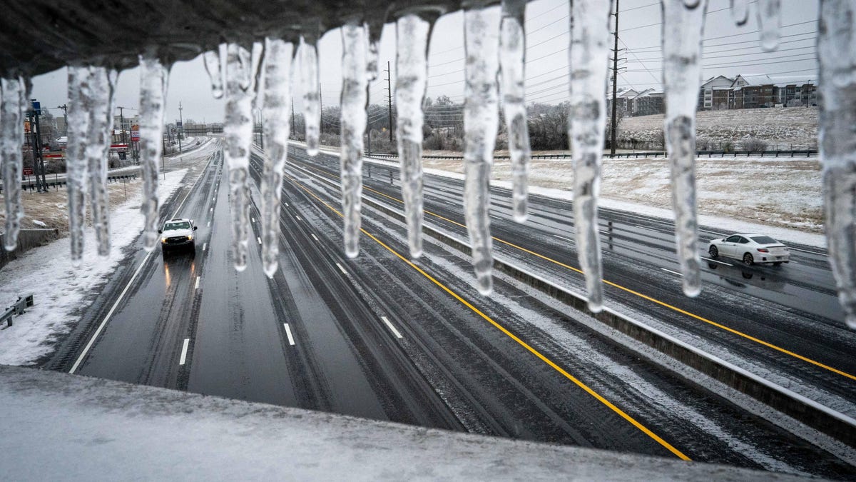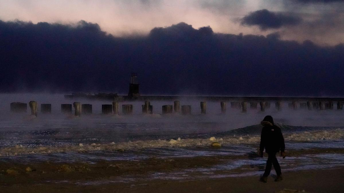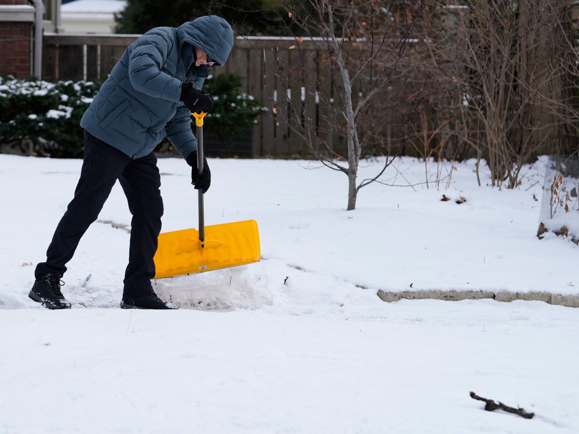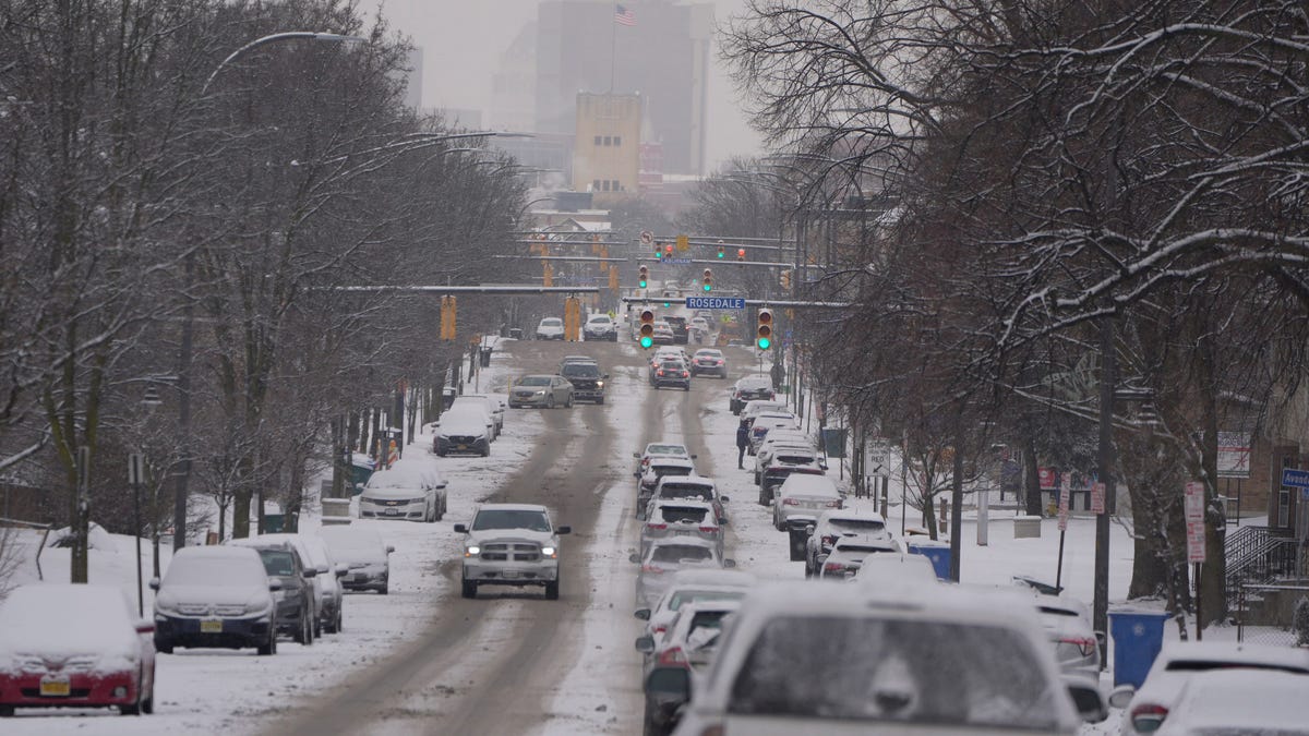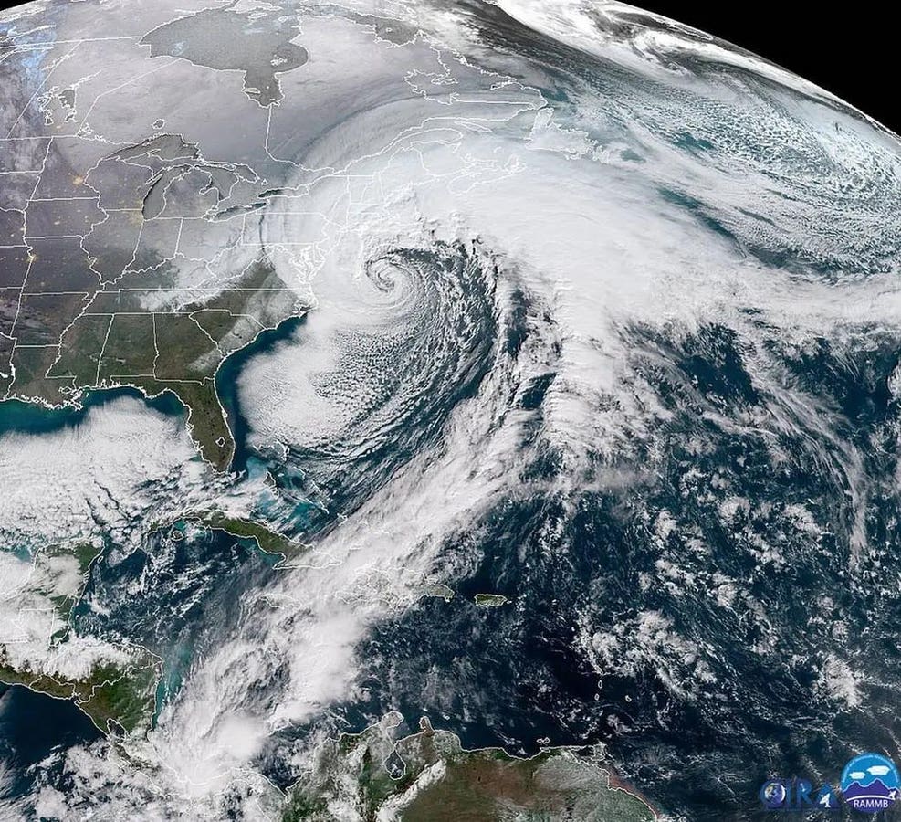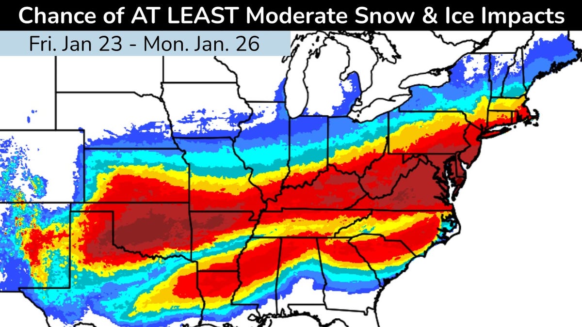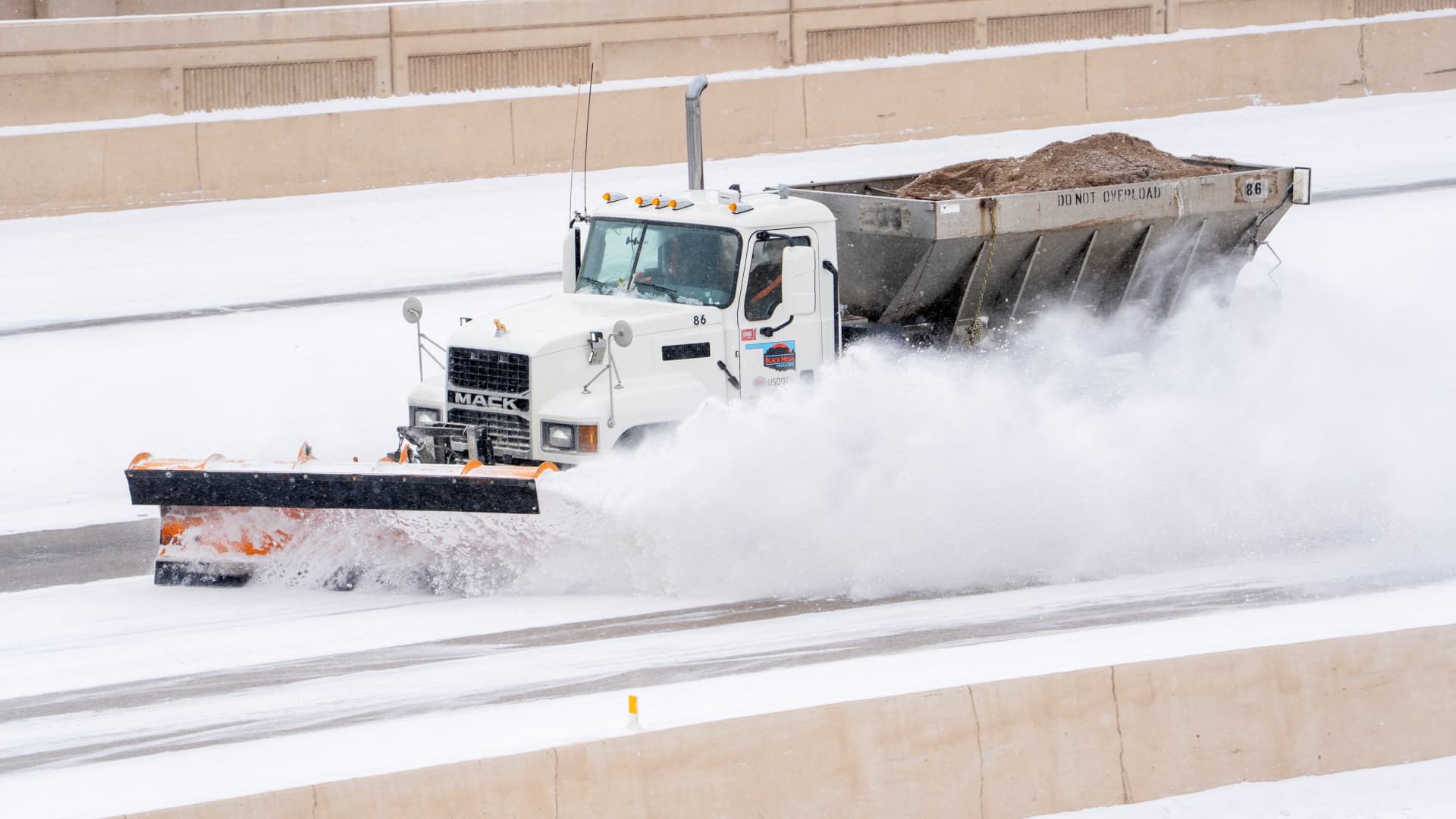
A severe winter storm that brought crippling freezing rain, sleet and snow to a large part of the U.S. in late January 2026 left a mess in states from New Mexico to New England. Hundreds of thousands of people lost power across the South as ice pulled down tree branches and power lines, more than a foot of snow fell in parts of the Midwest and Northeast, and many states faced bitter cold that was expected to linger for days.
The sudden blast may have come as a shock to many Americans after a mostly mild start to winter, but that warmth may have partly contributed to the ferocity of the storm.
As atmospheric and climate scientists, we conduct research that aims to improve understanding of extreme weather, including what makes it more or less likely to occur and how climate change might or might not play a role.
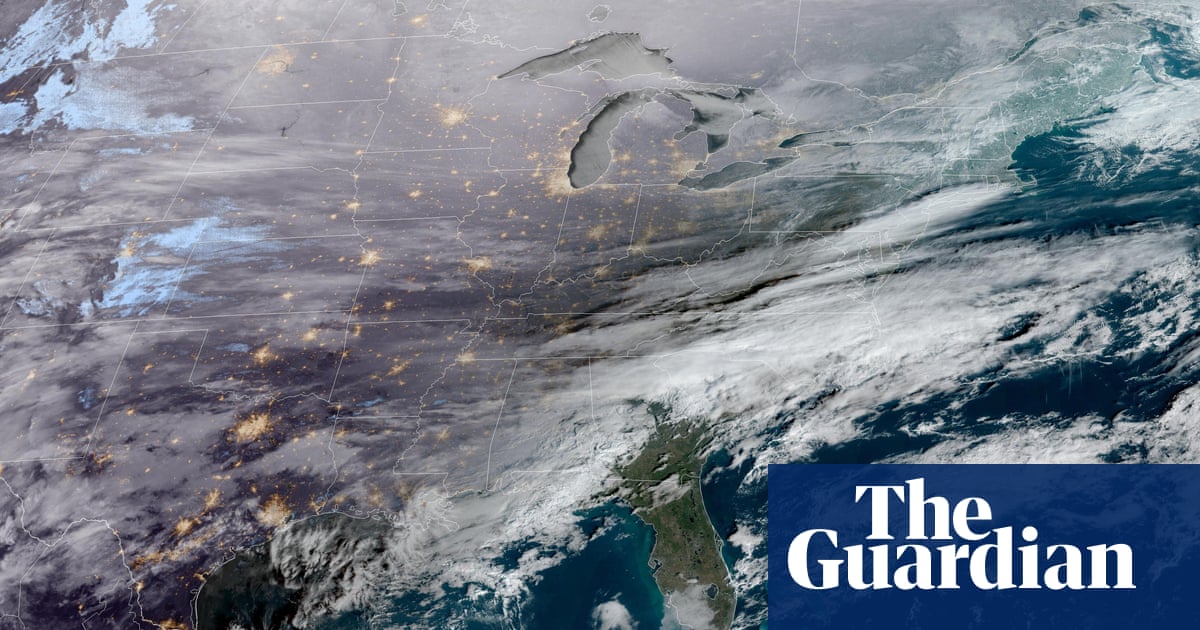
To understand what Americans are experiencing with this winter blast, we need to look more than 20 miles above the surface of Earth, to the stratospheric polar vortex.
A forecast for Jan. 26, 2026, shows the freezing line in white reaching far into Texas. The light band with arrows indicates the jet stream, and the dark band indicates the stratospheric polar vortex. The jet stream is shown at about 3.5 miles above the surface, a typical height for tracking storm systems. The polar vortex is approximately 20 miles above the surface. Mathew Barlow, CC BY