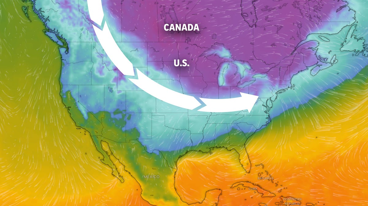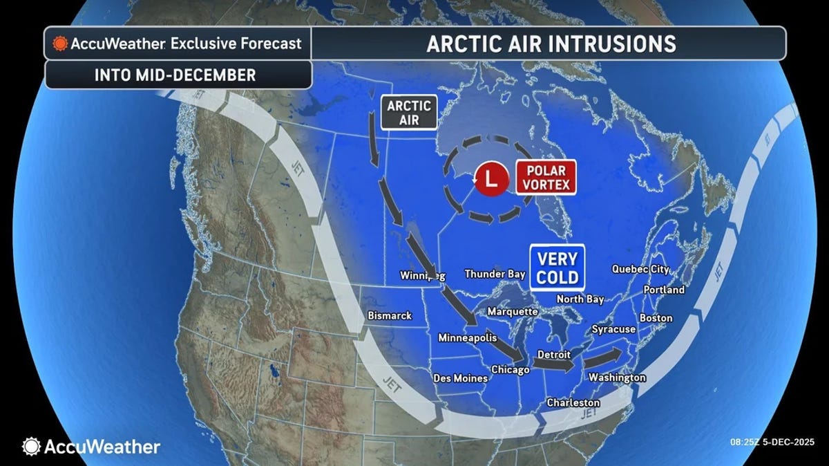
Our old wintertime friend the polar vortex is set to funnel bitterly cold air south from Canada two more times in January, once over the weekend of Jan. 17 and again about a week later.
"This first shot of cold air over the weekend and into early next week looks to be the appetizer, with the main course of cold coming the following week," said AEM climatologist Judah Cohen in an email to USA TODAY on Jan. 14. "I think there is potential for the second round of cold air to be more extreme."
Another expert, Weather Trader meteorologist Ryan Maue agreed, noting this week that although "this is two weeks in the future, so the details and intensity will change, but we are poised to see a potentially historic Arctic 'polar vortex' blast across North America into the end of January."
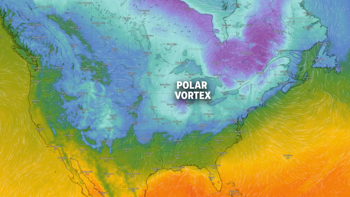
The polar vortex is not a storm − it's a large-scale, persistent area of low pressure and extremely cold air that sits high in the atmosphere over both of Earth’s poles, according to the National Weather Service. It exists year‑round, but it strengthens in winter when polar temperatures drop, and weakens in summer.
When the vortex is strong, that cold air stays bottled up over the poles.