This story was updated due to earlier inaccuracy. NASA builds and launches the GOES-satellites, while NOAA owns and operates the GOES-satellites.
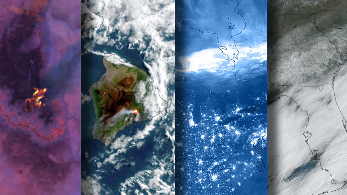
The National Oceanic and Atmospheric Administration's Geostationary Operational Environmental Satellites network (GOES) captured a number of natural phenomena high above Earth this year, including unusual snow events, wildfires, volcanoes and numerous northern lights.
As "eyes in the sky" to monitor the weather in the Western Hemisphere, NOAA's GOES satellites continually transmit high-resolution imagery and data for weather forecasting, severe storm tracking, fire monitoring, and space weather prediction.
Here's a sampling of its amazing images captured this year:
On Jan. 21, an Arctic blast hit the southeastern United States, coinciding with the year's on-average coldest period. In addition to bringing record-low temperatures, it fueled a winter storm that caused unusual snowfall in certain Southern states, according to NOAA Climate.gov. NOAA's GOES-16 satellite captured the Southeastern U.S. blanketed with snow.