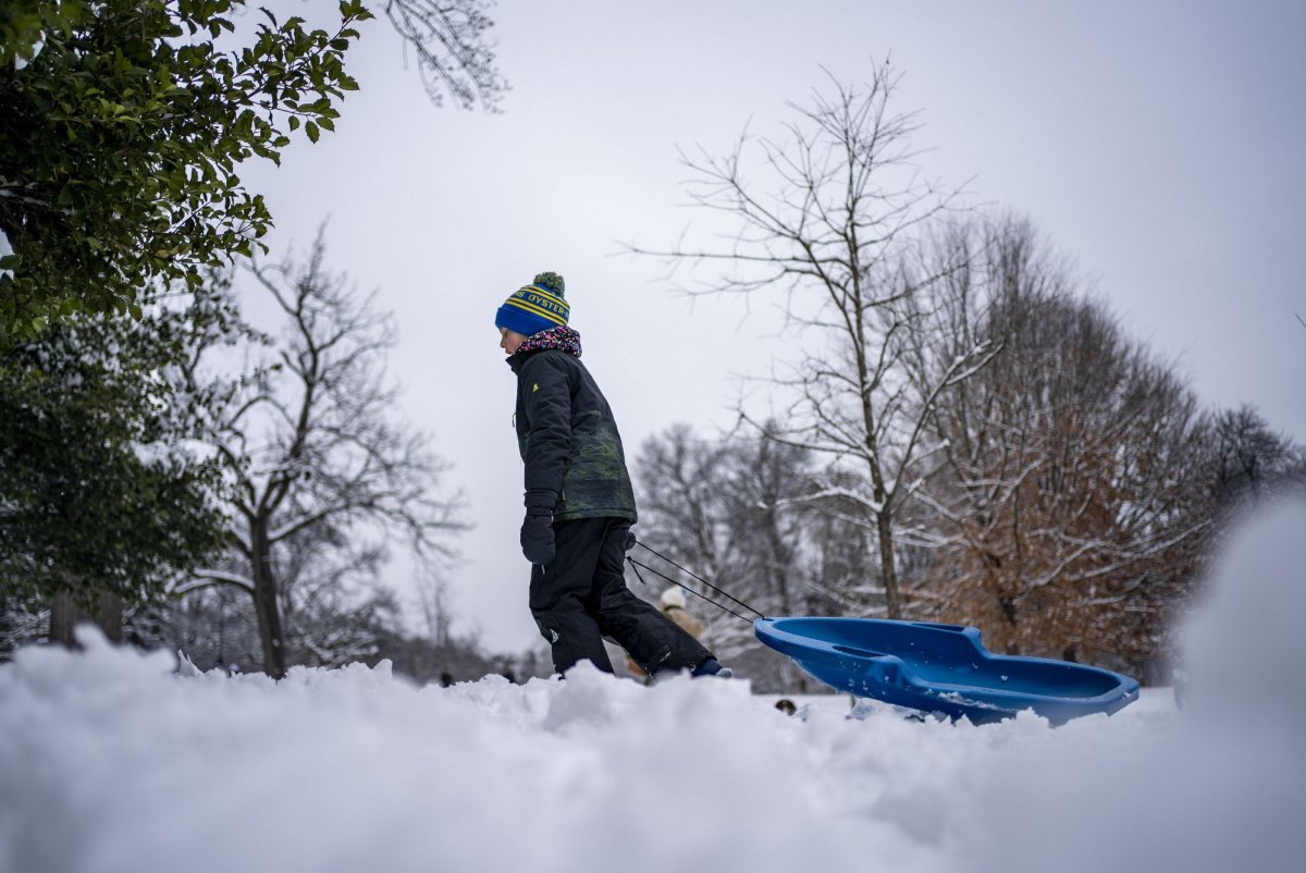
Baby it's colder than normal outside! December is off to a chillier than typical start for much of the country.
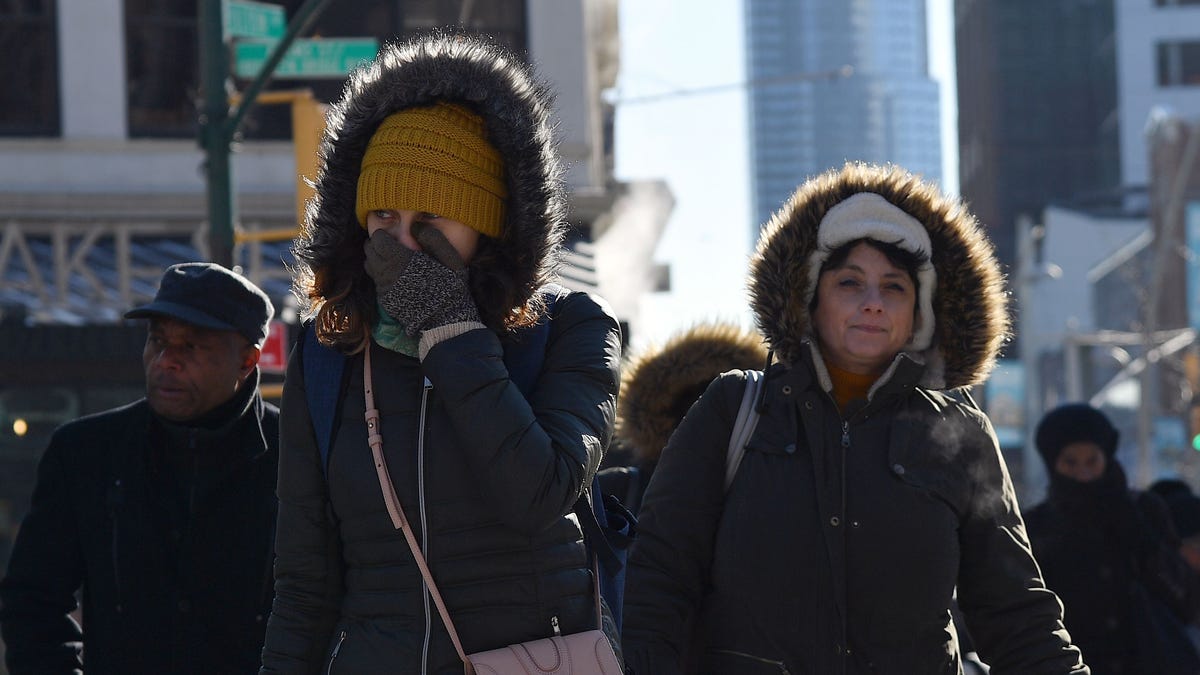
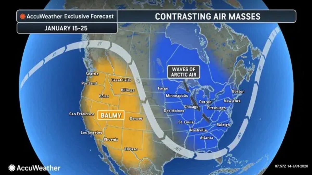
Just in time for a weekend of holiday festivals and parades, more frosty temperatures will blanket much of the north and eastern regions of the country, potentially with some record-breaking lows. It's all thanks to another of the Arctic blasts forecasters have been talking about and it's not likely to be the last.
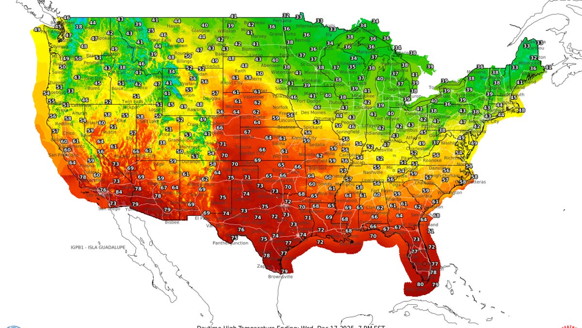
Meteorologists with the National Weather Service and AccuWeather say the polar air could linger, keeping things colder than typical for early to mid-December, for many locations outside the Southwest. In the West, temperatures will trend warmer into next week, when warmer-than-average temperatures also are forecast to spread into the central and southern Plains, according to the Weather Prediction Center.
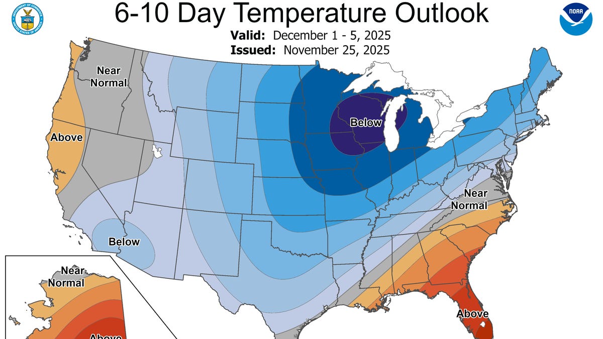
One Arctic front moved across the Great Lakes on Dec. 3, triggering advisories for snow squalls in New England on Thursday, Dec. 4. Then over December 6-7, "daytime highs and morning lows could be 10-15 degrees below normal in the Northern Plains/Upper Midwest," the prediction center said. That cold air mass also will move eastward.
The prediction center warns additional winter weather advisories may be needed by later in the week and advises paying attention to the weather forecast.