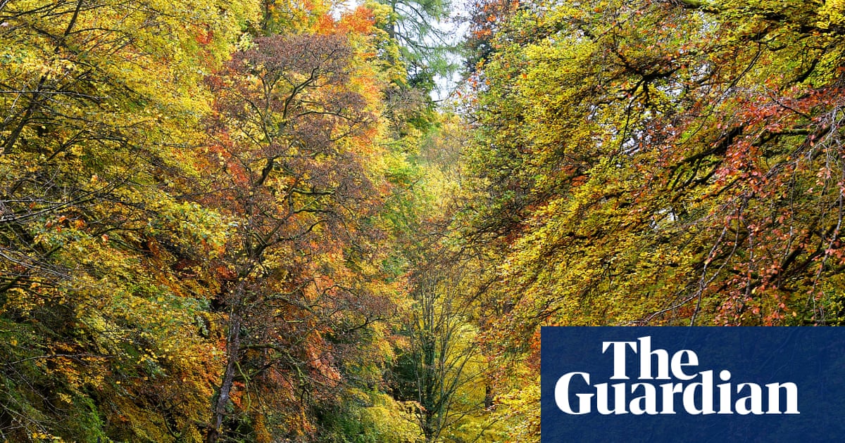
The route showcases the North Pennines’ unsung landscapes. We road test a 50-mile section that takes in golden forests, high moors and pretty villages
p on Langley Common the wind is rising. The tussocks under my boots cover the Maiden Way, perhaps the highest Roman road in Britain, but the sense of being close to the sky – today a simmering grey – remains as palpable as it would have been 2,000 years ago. Looking north, a rainbow arcs across the horizon, the full reach of it clearly visible from this high ground. Buffeted by the squall with every step, it feels as though I’m striding across the top of the world, which is apt, since I’m following the new Roof of England Walk.
This 188-mile, multi-day trail was developed by the North Pennines national landscape team, and launched in September. Taking in lofty footpaths and some of the best-loved elements of the North Pennines – among them High Force, Cross Fell, High Cup Nick, the Nine Standards and England’s highest pub, the Tan Hill Inn – the aim is to showcase this sometimes overlooked corner of the country.
“It’s a blank on the map for a lot of people, a huge area between Hadrian’s Wall and the Yorkshire Dales that they don’t really know,” says Shane Harris, the project’s lead, when I meet him after my walk for a bowl of cauliflower soup at Stanhope’s Root and Branch community cafe. “The North Pennines is a historic, vibrant landscape and a Unesco Global Geopark. This walk is about introducing more people to it.”