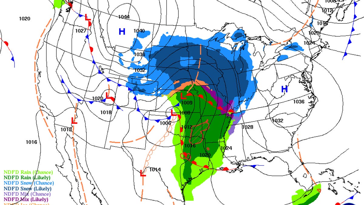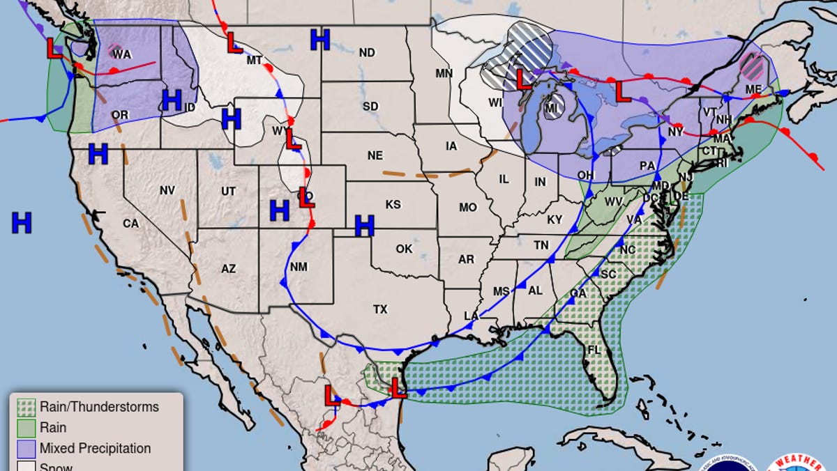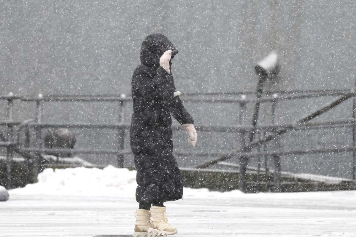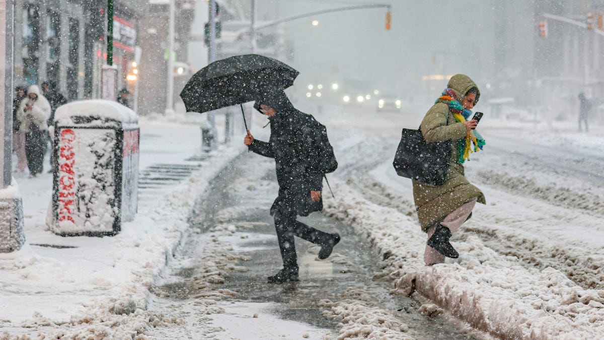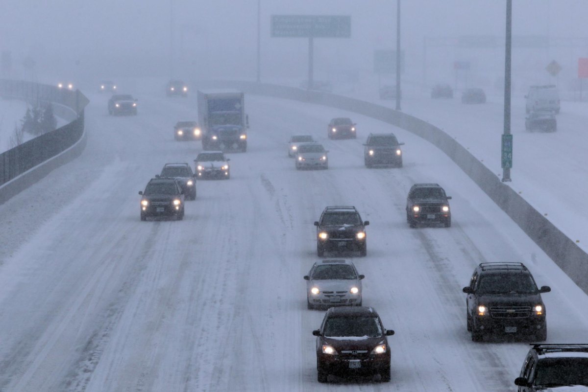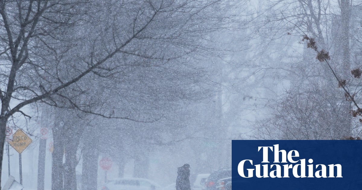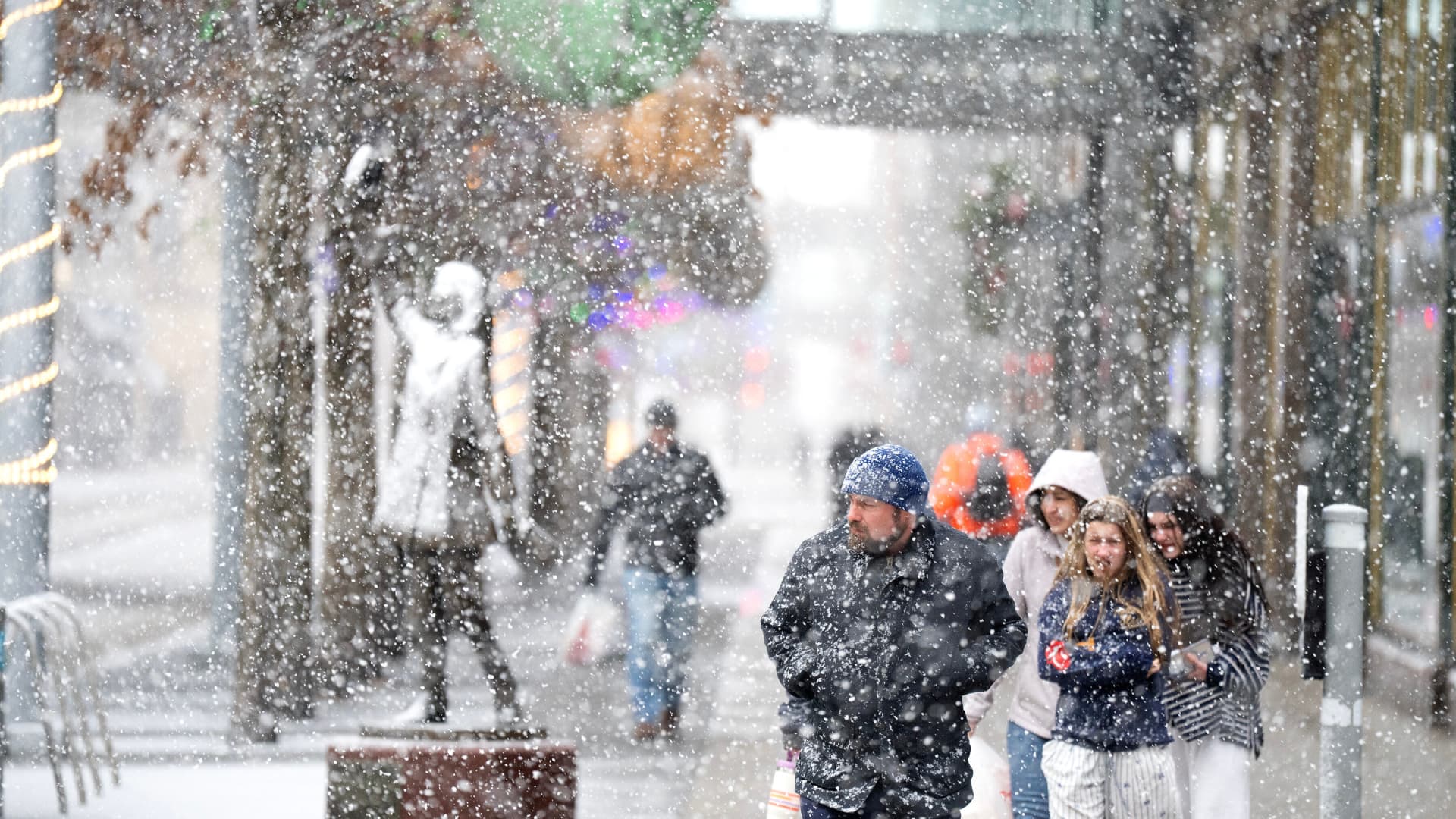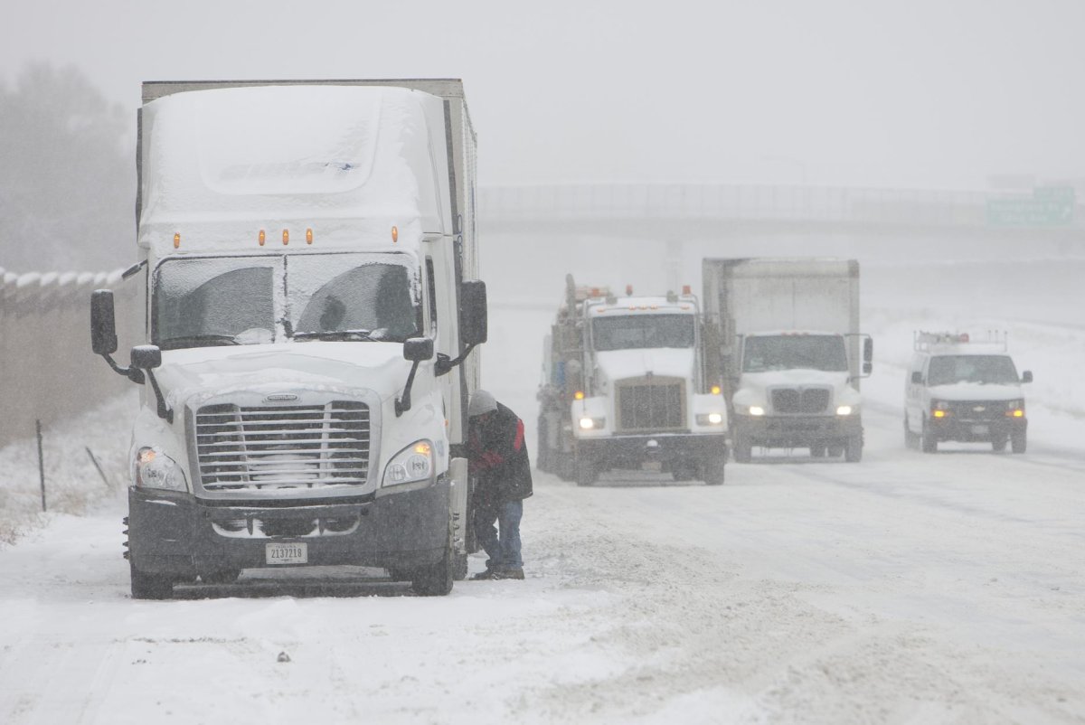
Winds will howl, temperatures will drop and the flakes will fly and pile up around the Great Lakes from Wednesday to Friday with effects ranging from snow-clogged roads and travel disruptions to downed trees and power outages, AccuWeather meteorologists advise.
"This will be the most widespread lake-effect snow event of the season so far," AccuWeather Senior Director of Forecast Operations Dan DePodwin said.
In the most persistent bands of lake-effect snow, it may pile up at a rate of 2 inches per hour or more, which can overwhelm road crews and leave some motorists stranded. In the snowiest spots, the accumulation will be measured in feet.
In the heaviest snow areas downwind of lakes Superior and Erie -- including parts of northern Michigan, northwestern Pennsylvania and western New York -- the AccuWeather snowfall prediction for the event is 36 inches.
Some of the heaviest snow will occur in the towns just south of Buffalo, New York, from late Wednesday night to Thursday.