ByMarshall Shepherd,
Senior Contributor.
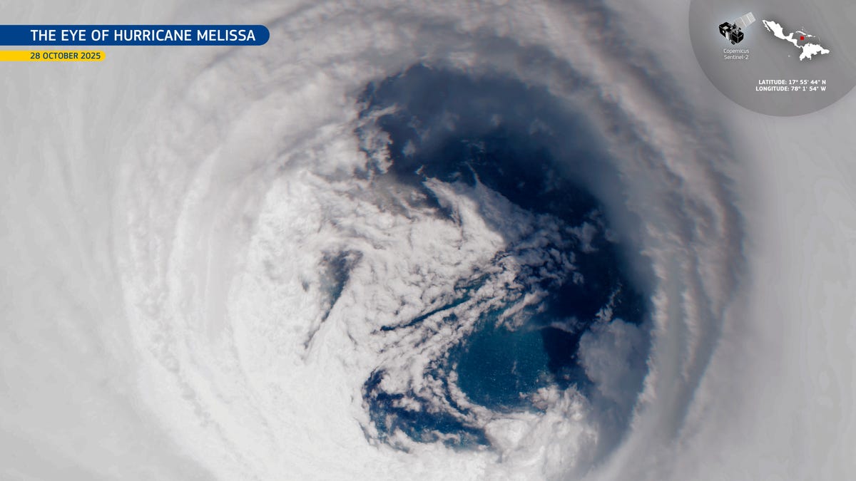
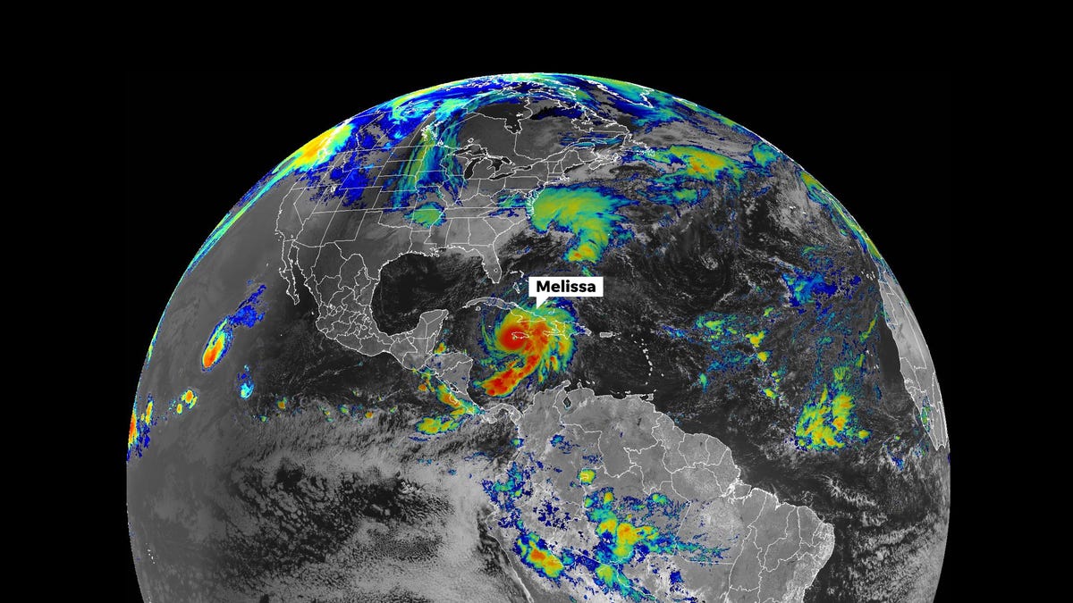
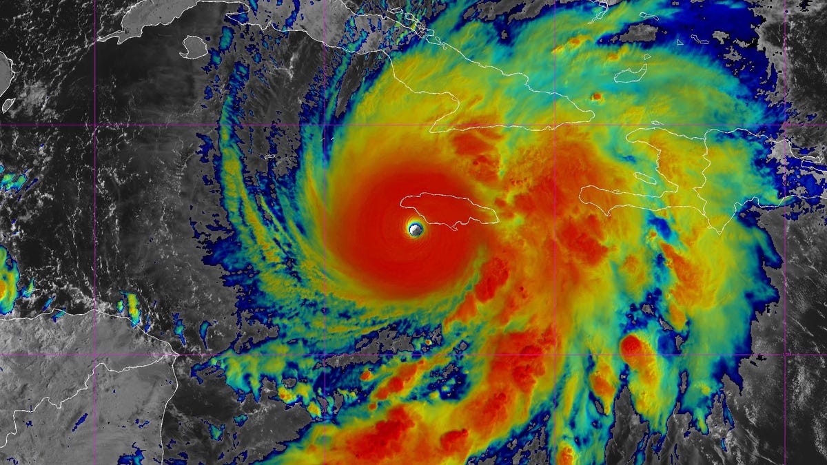
By several metrics, meteorologists knew that Hurricane Melissa was one of the strongest hurricanes that we have ever witnessed in the Atlantic basin. However, a new assessment of data by scientists at the U.S. National Science Foundation National Center for Atmospheric Research revealed that a wind gust of 252 miles per hour was captured by a dropsonde within the storm. That would make it the strongest hurricane or tropical cyclone wind value ever recorded by a dropsonde. Let’s explore this stunning development.
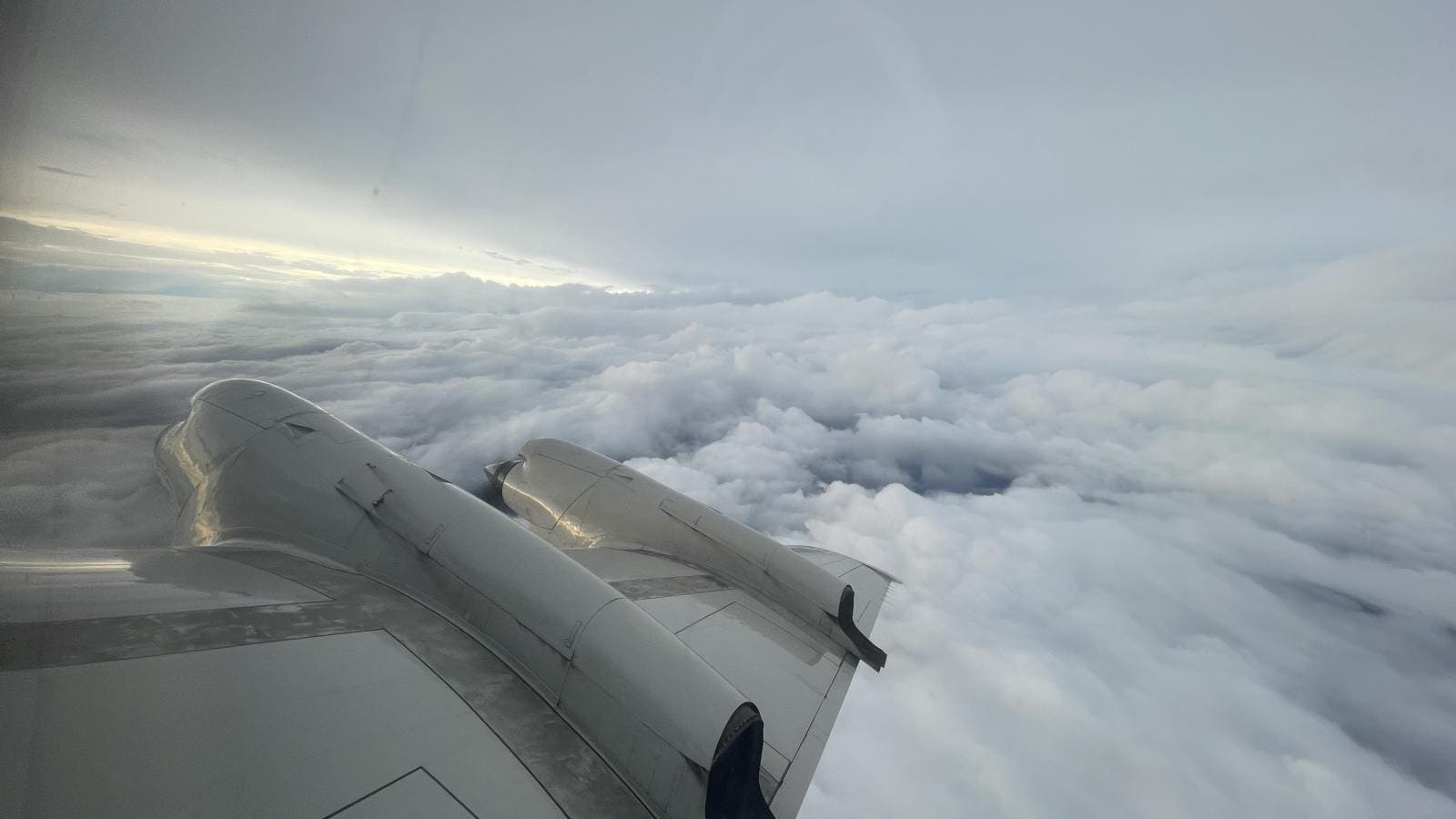
An NSF NCAR press release noted, “Dropsondes are small cylindrical devices that are used by organizations like NOAA to collect valuable information during extreme weather events like hurricanes or atmospheric rivers. As they fall to the surface under a small parachute, dropsonde sensors gather information that helps shape forecasts and inform communities of approaching hazards.” They were developed at NSF NCAR in Boulder, Colorado over 50 years ago and continue to evolve.
As it became apparent to National Hurricane Center meteorologists that a 252 miles per hour wind gust had been measured in one of the Hurricane Melissa deployments, they knew that this was a potential record, but it needed verification. That’s why they sent the data to NSF NCAR. Even before this process took place, hurricane expert and hurricane hunter Andy Hazleton had signaled this possibility as the storm was impacting the Caribbean region. On October 28, he posted on Facebook, “I couldn’t believe the 113 m/s (250 mph) wind value that I saw on my screen processing this sonde in Melissa today. It literally went off the scale.” Hazleton said in another post later, “I usually set my axis limit to 100 m/s (about 224 mph) and only in the most extreme cases (like Beryl) has it ever even gotten close to that. In this case 100 m/s wasn’t nearly enough.”